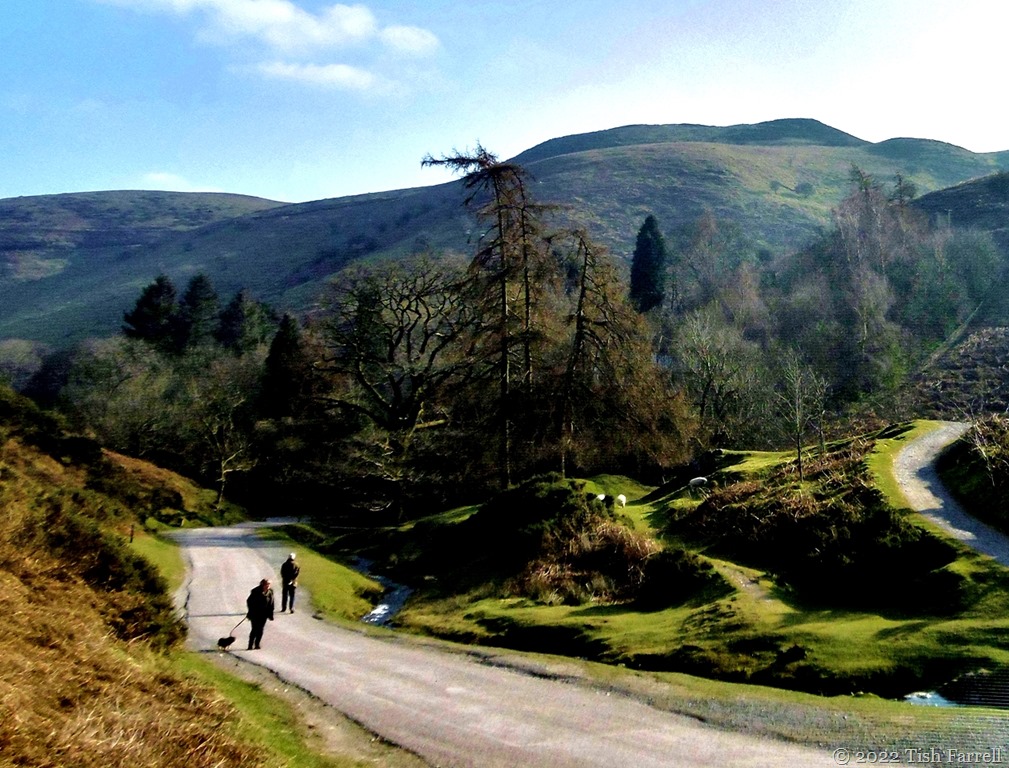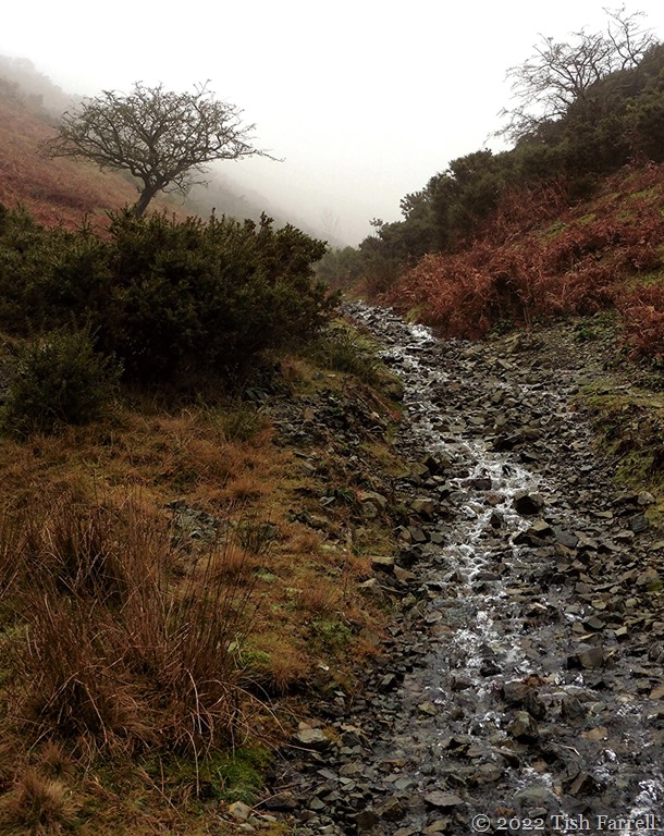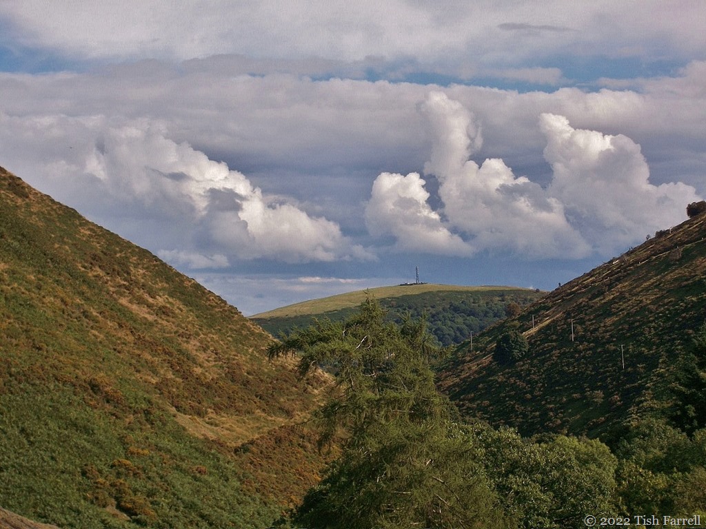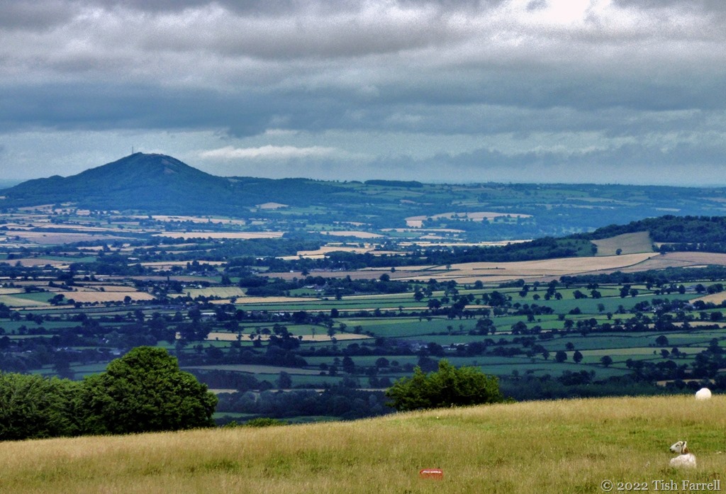
On The Ice-Sheet Path ~ Stiperstones Revisited

IMG_0542ed

This time we approach from the west, the Shropshire border with Wales below and behind us.  The path from The Bog climbs up through sheep pasture hedged with gorse. The gold is dazzling. In sun-sheltered hollows, out of the wind, the flower-mass gives off coconutty scents. The grassland too is flushed with gold – a mass of buttercups.

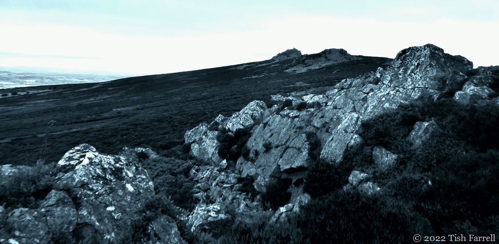
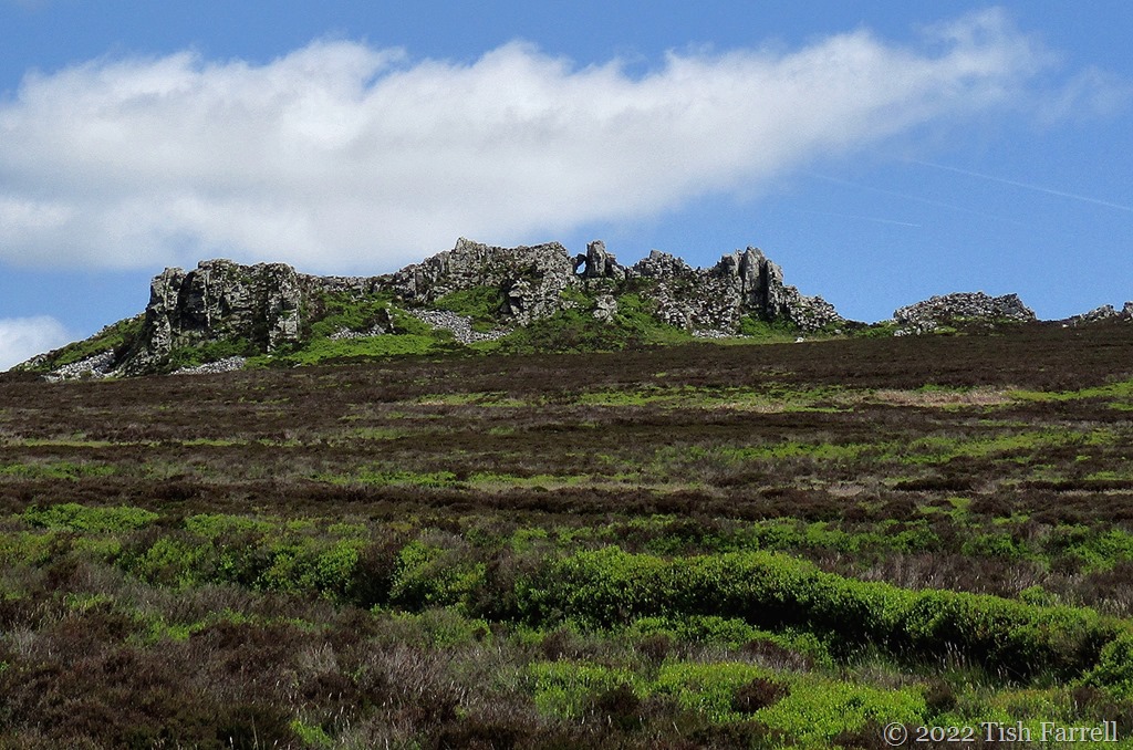
After a steepish climb, the path sets off more evenly along the foot of the Stiperstones ridgeway, the quartzite tors of Cranberry Rocks and Manstone Rock standing proud on the skyline. We are making for the Devil’s Chair (header photo), but it is still invisible at this point along the path.

IMG_0515re

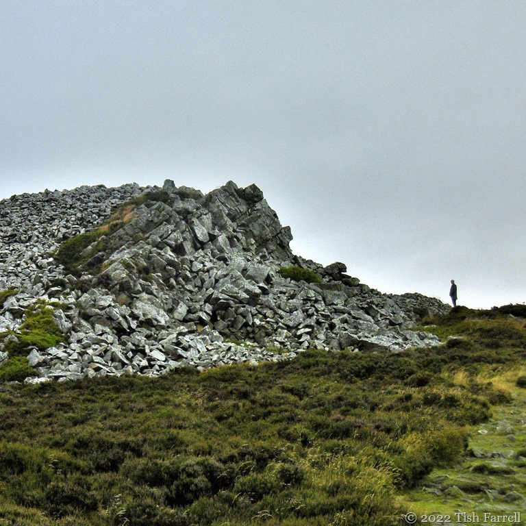
The tors’ rubble spill  (stone runs) makes them look more like man-made spoil heaps than natural phenomena. And of course this was an industrial landscape across nearly two millennia:  from Roman times to the early 20th century. Although back then the activity was mostly hidden from sight in the deep mine shafts and caverns dug for the extraction of valuable lead ore.

The tors, though, are their own work, their response to environmental pressures – the fractured tumble created by the freeze-thaw cycles of the last glaciation when the Welsh ice sheet nudged up against the hillside, but did not cover it. In fact, as we follow the path, we must be walking over terrain where the ice would have lain feet deep, the far edge below the tors ebbing in surface melt-water in summer, resuming the deep-freeze lock-down in winter.

It’s surely not too hard to imagine?

For as we walk here under the sun, the bright gorse and lush new bilberry bushes, bleating of lambs, distant mew of a buzzard, I note that even now in late May, the wind still has a piercingly icy edge.

It reminds me, too, that for some reason most of us have decided, on the basis of nothing in particular, that the planet has somehow done with ice ages; that they must be a thing of the past. Yet the last ice sheets only retreated 10,000 years ago; we are presently in an interglacial, the Holocene.

IMG_0527re

Within interglacial periods there are phases of warming and cooling. E.g. It is generally accepted that around 6,000 years ago that the northern hemisphere was much warmer (Holocene thermal maximum) than it is today (NOAA National Oceanic & Atmospheric Administration US). There is likewise evidence from analysis of pollen and other prehistoric deposits in peat bogs across Europe of  periods of dramatic climatic decline e.g. the Late Bronze Age Britain (from around 3,000 years ago) when it became much wetter and cooler. Yet by the time the Romans had taken over the land, there was another warm phase. And again in the Medieval period, this before the general descent into the Little Ice Age of 14th-19th centuries for which there are also historical accounts. (I mentioned the London Frost Fairs of the Little Ice Age in a recent post on chaotic weather.)

The cycle of ice ages and climatic variation within interglacial phases is apparently dependent on shifts in the inclination of the earth on its axis, plus associated so-called ‘wobbles’, together with variations in the sun’s energy output. In other words, there can be  no doubting that here we have in play planetary cycles that are stratospherically beyond humanity’s capacity to control. Anyway, it’s making me think that hanging on to the woolly jumpers and thermal underwear might not be a bad idea.

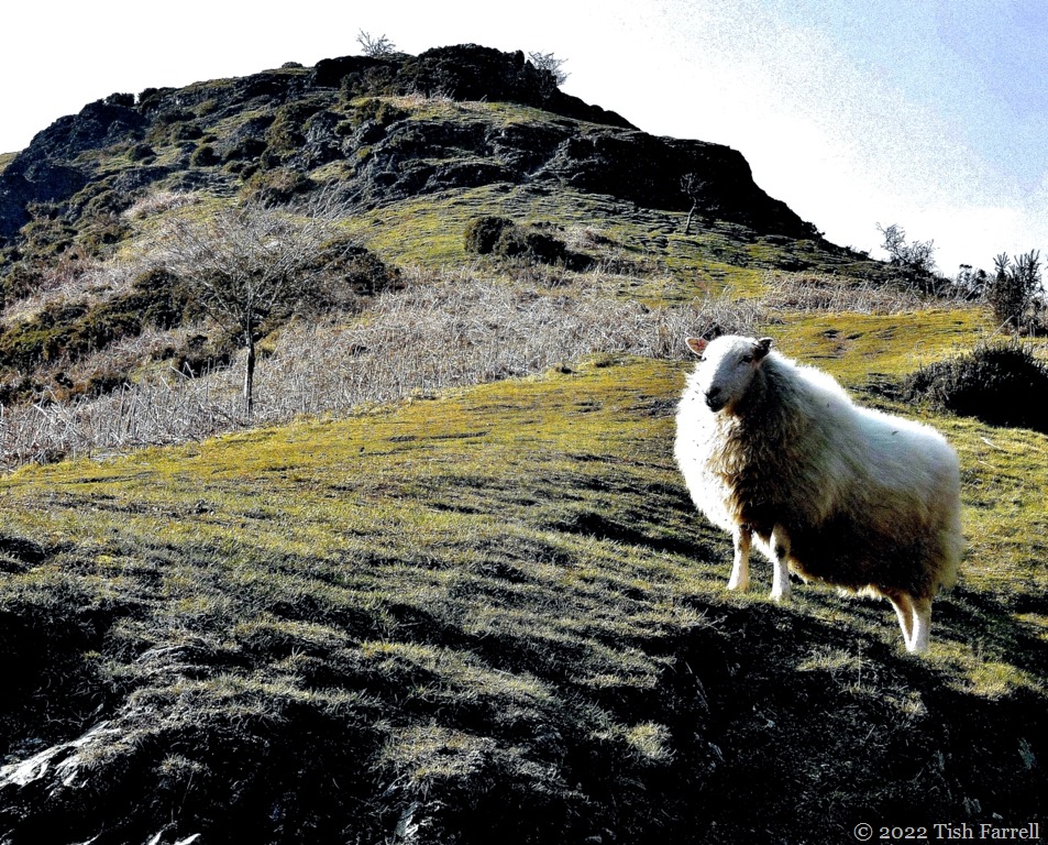
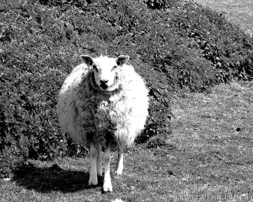
And talking of woolly jumpers, as the Devil’s Chair comes into view I find myself the subject of ovine scrutiny…

IMG_0532re

IMG_0533re

*

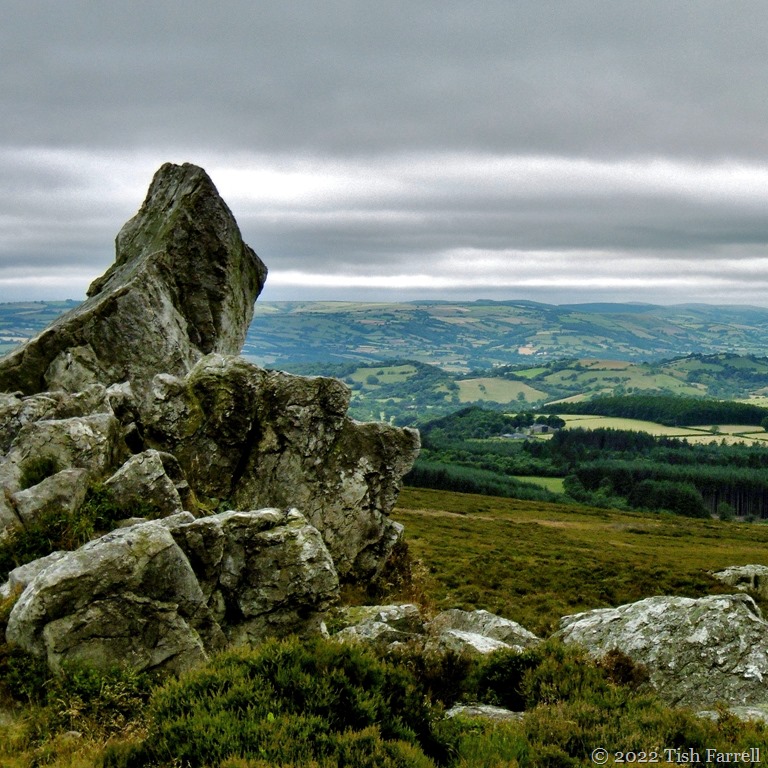
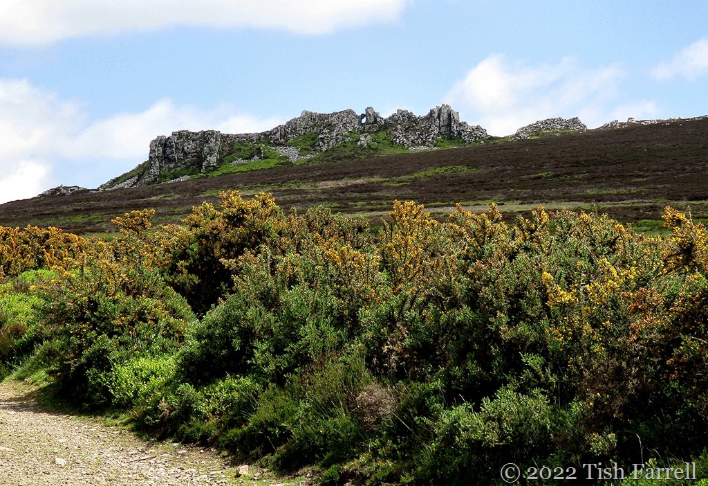
And now for the Devil’s Chair, long the subject of Shropshire myth and witchery:
IMG_0540ed

*

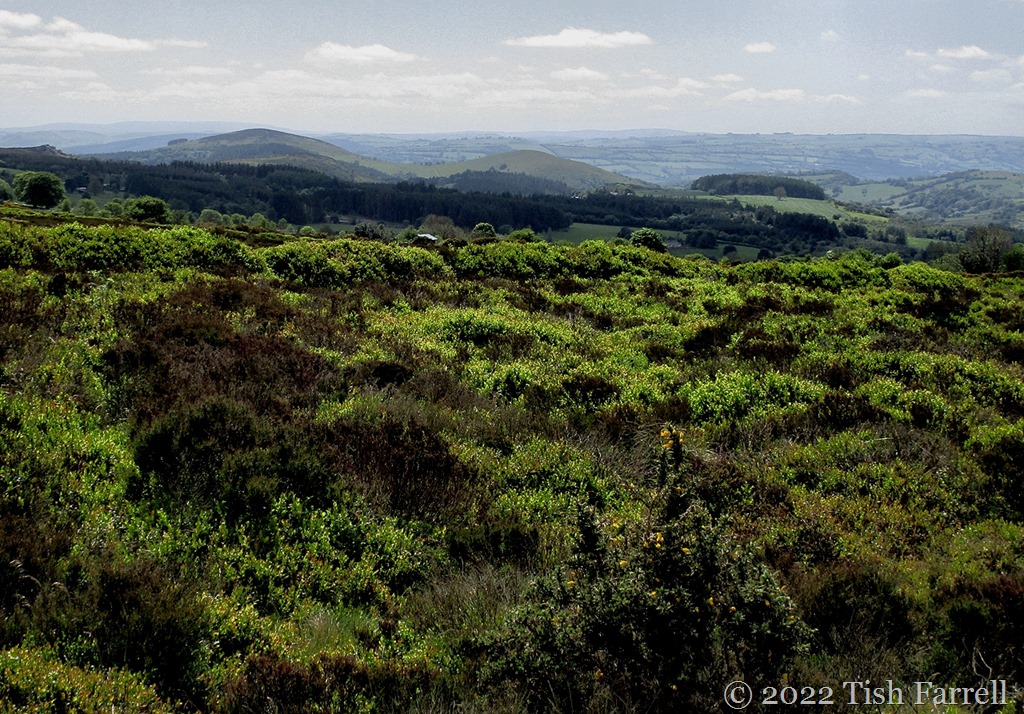
And the view from this spot, back towards Cordon Hill, the border and Wales. Remember that ice sheet. This was the land that it covered. At the glacial maximum around 22,000 years ago the ice was estimated to be up to half a kilometre deep. Sheffield University has produced some interactive maps.

IMG_0545re

IMG_0546re

The dark tussocks are heather which will bloom in late summer. The bright green bushes are bilberries, locally called win- or wimberries – our native version of blueberries, ready to pick around August time, but presently flowering. The little rosy bells are hard to see, but the bees are finding them:

IMG_0555re

*

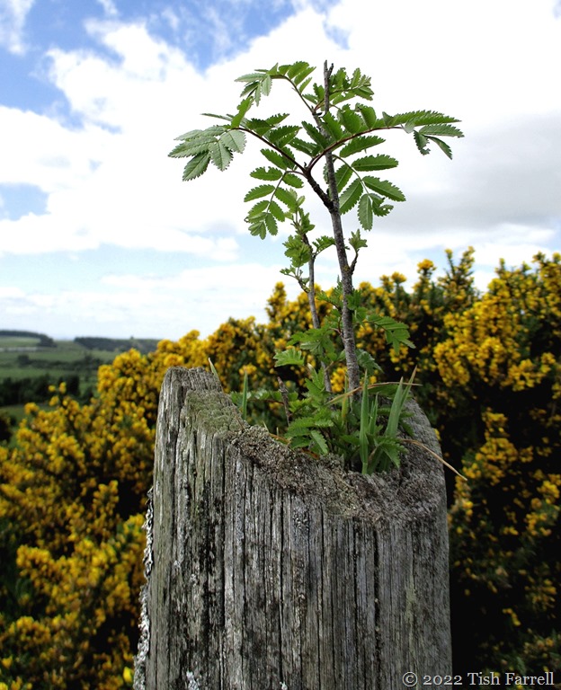
As we retrace our steps to The Bog where we’ve left the car, I’m stopped in my tracks by  the sight of a mountain ash tree seedling. There it is, growing so strongly atop a weathered gate post. It makes me smile. It seems like a sign: the earth, the real world, has much to teach us when we choose to pay attention.
IMG_0559ed

Light And Shadow Over The Garden Fence

100_7393re

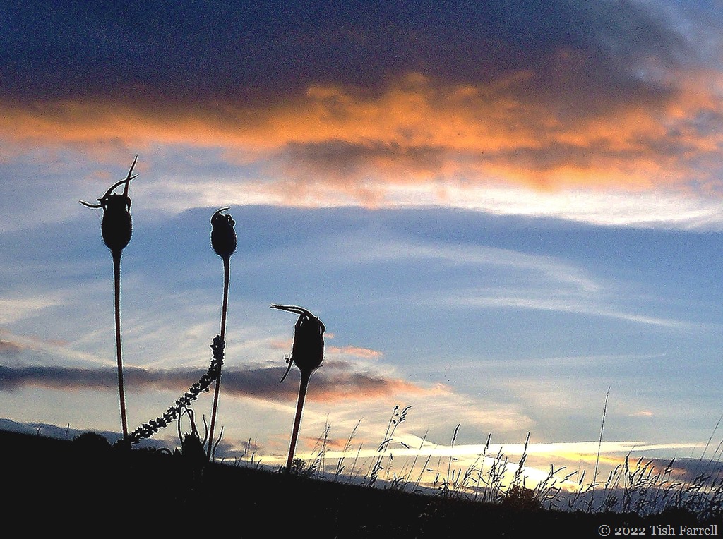
Late summer and corn cockle seed heads against a Wenlock Edge sunset.

*

P1070087 re

Townsend Meadow behind the house; the fence surrounding the attenuation pond that protects the town from flash floods. And also our local carrion crow couple being nicely scenic.

*

P1100419

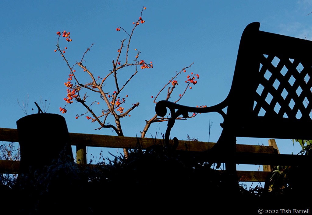
The upstairs garden seat in winter; the ash log sun dial, and the last of the crab apples.

*

p1020253p

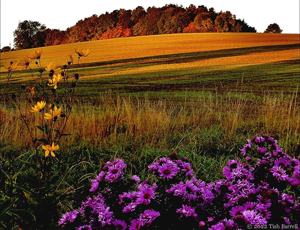
Autumn dawn, the guerrilla garden in shadow: Michaelmas daisies and helianthus. Townsend Meadow after the barley harvest, but still golden in the early morning sunshine.

*

P1080211re

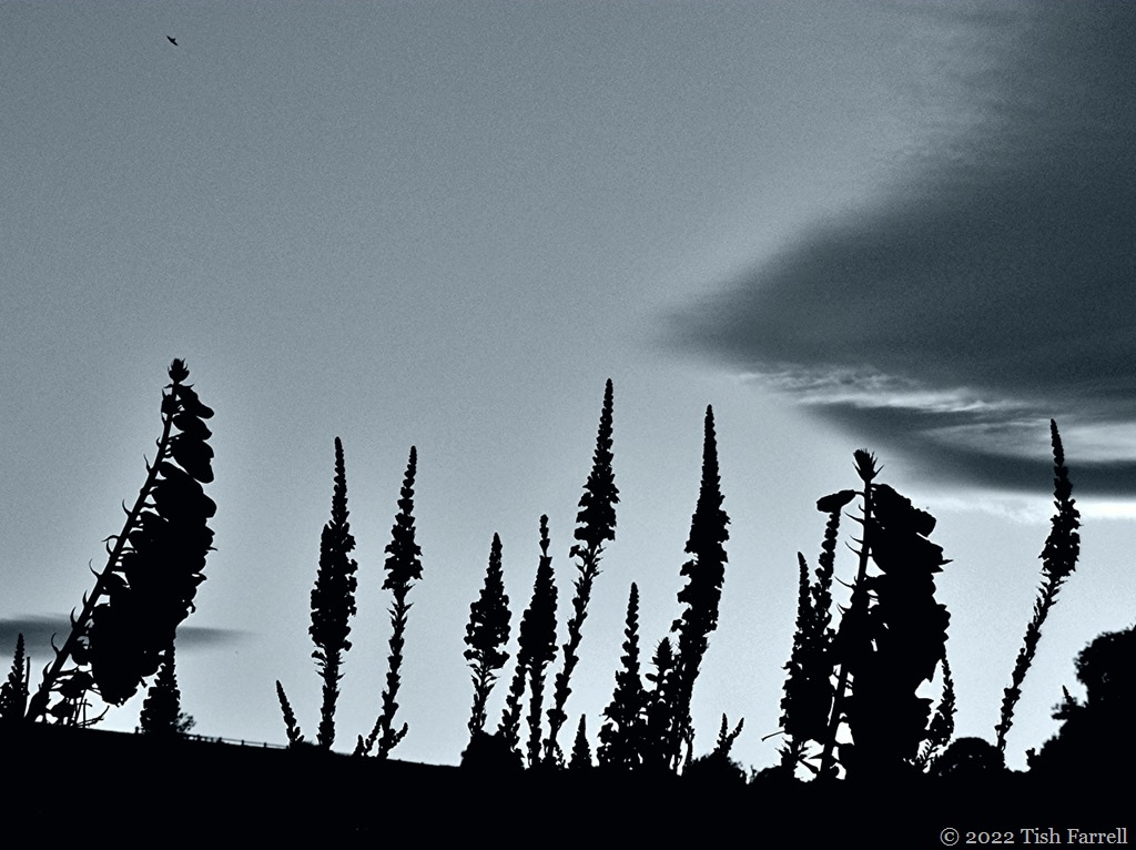
An early summer monochrome foxgloves and purple toadflax in the guerrilla garden.

*

P1090190

And an almost-monochrome. Shadow play on a dust sheet hug out to dry on the washing line.

*

Lens-Artists: Light & Shadow  Patti has set the theme this week. Please pay her a visit. She has some stunning photos to show us.

Corvedale In Late April

IMG_0389re1

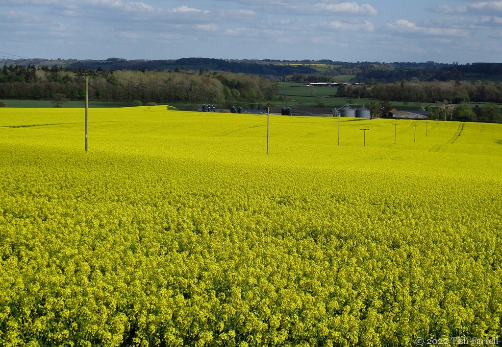
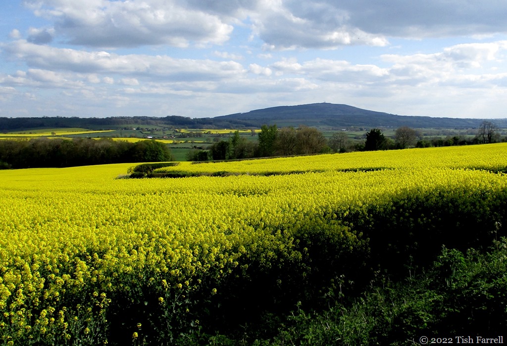
Driving up and out of Wenlock yesterday and suddenly all of Corvedale  stretched before us. And so much of it YELLOW!

And so it seems that despite a wild and windy spring, followed by the last two weeks of dry and chilly weather, the oil seed rape is blooming. Its heady scent filled the car as we headed to The Crown at Munslow for a family lunch. The fields of it were everywhere, filling our sights as we rounded bend after bend on the narrow lane, shocking the vision at every turn. Then to the south, there was Clee Hill, rising serenely above a lemony sea. It made us wonder what Van Gogh might have made of this landscape, or if in fact the crop is having the last word: that there is little more to be said about yellow. IMG_0387re

Long Mynd Wrought By 600 Million Years Of Earth Change

P1030457cr

This sheep is posing on some of the world’s most ancient rocks, layers of mud-stones, sand-stones and shales laid down when this incipient Shropshire Hill was still lying in shallow seas somewhere in the Indian Ocean off East Africa. This was followed by much shunting and shifting across the planet, tectonic plates smashing and colliding.

Our most local collision was along the Church Stretton Valley, just over Wenlock Edge, some twelve miles from where we live. To the east of it (some 600 million years ago) volcanic ash and lava formed our well loved hills of Wrekin, Lawley, Caer Caradoc and Ragleth. To the west lay the sedimentary formations of Long Mynd, which around 550 million years ago were folded and thrust upwards along the Church Stretton Fault.

Then in recent times (2.4 million to 20,000 years ago) glaciers slipped and slid along the  Mynd’s flanks, although the summit was clear of ice. And then during successive interglacial (warming) periods (300,00-15,000 years ago) melting ice fed stream torrents that cut deep valleys and batches…

P1030461resized

P1030466resixws

P1100539res

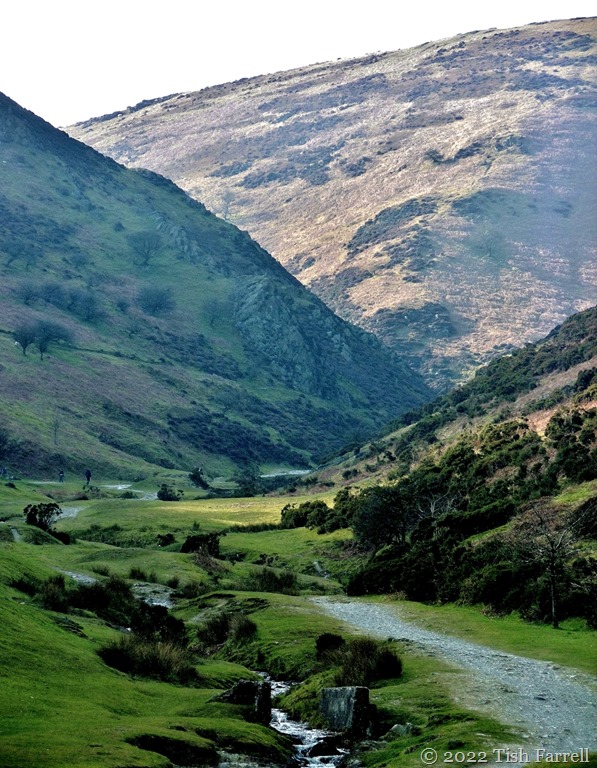
Ashes Hollow, one of the Mynd’s stream-cut batches

*

And so it might be timely to ponder on the momentous natural forces that brought about the formation of this single Shropshire hill – begun in tropical seas half a world away, then wrought by collision, compression, ice and melt-water. And all achieved without the meddling of humanity and on a planet that is endlessly reshaping itself.

100_4415

View from the Long Mynd’s Carding Mill Valley towards Ragleth Hill

*

P1080522resized

Looking east from the Long Mynd towards the Wrekin

*

Lens-Artists: Earth Story    Please visit Amy to see her very stunning Earth Story photos.

ONE

P1060368cr

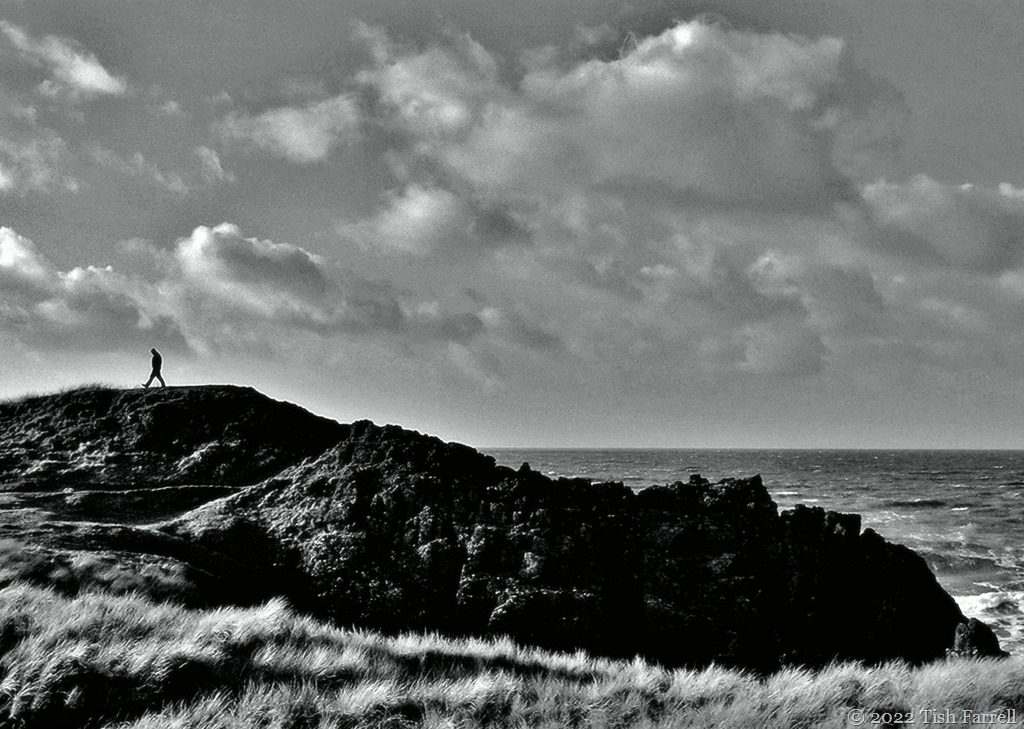
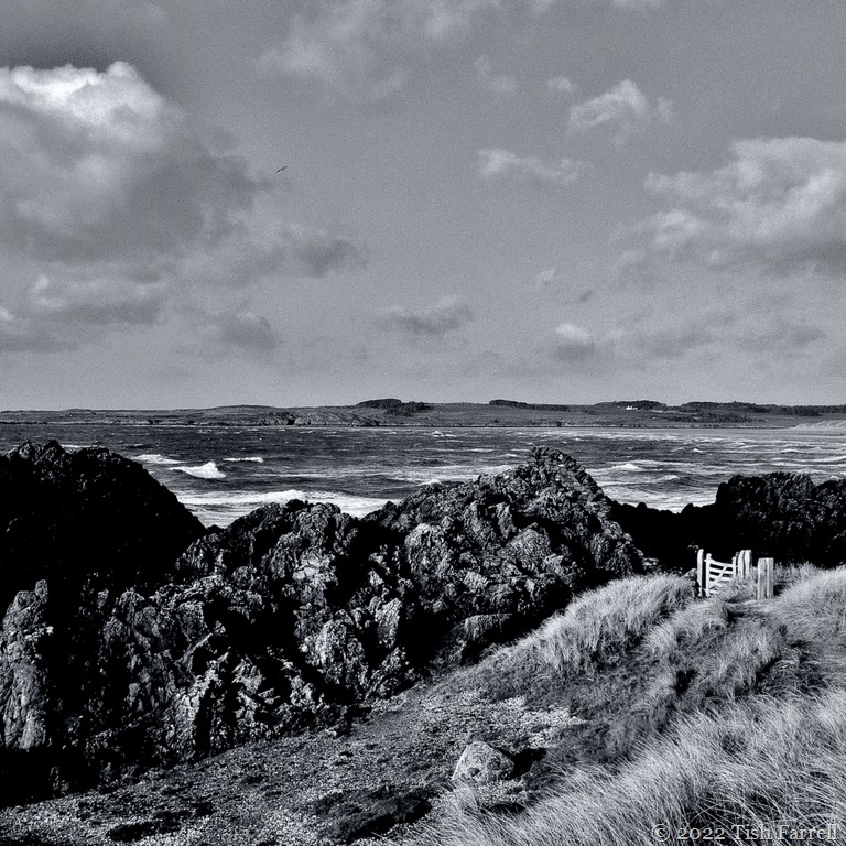
There may be signs of spring here in Shropshire, but the wind is still perishing cold. It’s reminding me of a wind-blown winter’s visit to Llanddwyn Island on Anglesey, where the sea-gale found every chink in one’s protective layers. Even so, it was a fine place to be: racing waves and whipped up grasses.

P1060369sq

P1060389cr

Cee’s Black & White Photo Challenge: one

Wind-Lines Past And Current

IMG_3317cr

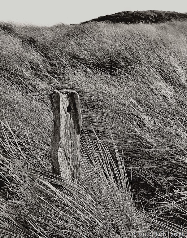
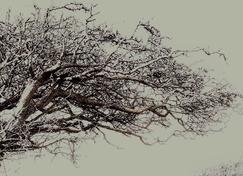
These photos were taken during our blustery stay on Anglesey, North Wales, back in early January. The hawthorn tree in the farm hedge has been sculpted and stunted by the prevailing sea gales over decades. In its dormant state it is now so rigid a structure that the winter blasts have little apparent effect. By contrast, the grasses were bowing flat in the bed outside the converted chapel where we were staying. One knew how they felt.

IMG_3260sep

Cee’s Black & White Photo Challenge: Lines

And Another Shropshire Ghost

100_7053cr

In an earlier post this week I mentioned Wild Edric our heroic Saxon warlord who challenged the Norman interlopers and ended up as a ghost haunting the Stiperstones. Now shunt forward a few hundred years to the 1640s, a time when England was locked in civil war: Roundhead Parliamentarians versus Charles 1 and the Royalist army. The Parliamentarians were intent on curbing the king’s proclivities to do as he liked at the nation’s expense; the Royalists were set on protecting the monarch’s prerogative.

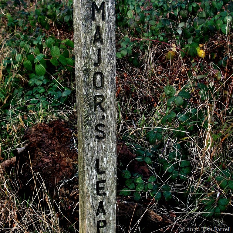
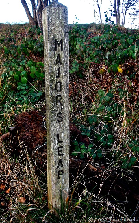
We’ve shifted from the South Shropshire hills to Wenlock Edge, a wooded limestone escarpment that rears up above the county’s farming lowland for nearly 20 miles. Enter one Major Thomas Smallman, fleeing on horseback from his home in nearby Wilderhope Manor. He is a King’s man, carrying despatches for the Royalist headquarters in the county town of Shrewsbury, some dozen miles away. On his heels are Cromwell’s troops. Trying to evade them, the major veers off along the Edge. But there’s no escape. He and horse leap over the precipice. It is a two hundred foot drop. The major was caught up in a crab apple tree, and so survived to deliver his despatches to Shrewsbury, but his valiant horse was lost. Perhaps that’s why a ghostly major on horseback may sometimes be glimpsed near this signpost on the Edge footpath.

100_7053

*

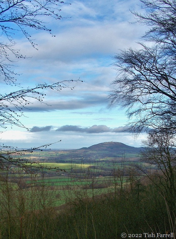
And to give you a notion of what lay before the major when his horse took off:

100_7057res

The Square Odds #10

Odd Rocks On The Stiperstones

P1080553cr

With its series of other-worldly outcrops, the Stiperstones ridge has to be one of Shropshire’s most compellingly strange landscapes. The cragginess was wrought by the scything, crushing and cracking action of ice during the last glacial period. But natural forces alone don’t explain the sense of weirdness. It is also a place of old lead mines (going back to  Roman times), and of older-still Bronze Age burial cairns.

And on the supernatural front, there are ghosts there, most notably of Saxon lord, Wild Edric, our local King Arthur, who rampaged against the Norman invaders and is said to have been imprisoned in an abandoned lead mine. When he rides again, it is said the natural good order of things will be restored to the land.

And last, but scarcely least, there are the sinister witchy happenings, especially when the mist falls and Old Nick himself is said to occupy the most mysterious of all the outcrops – otherwise known as the Devil’s Chair. (See Mary Webb’s novel Gone to Earth  whose heroine Hazel Woodus is tragically enthralled by the landscape and legends of the Stiperstones.)

P1080554cr

*

As a 6/7th Shropshire lass, I’m ashamed to say I have not yet got myself to the Devil’s Chair. On our last two expeditions we did not get further than Manstone Rock. This year’s ambition perhaps. On a mist-free day of course!

P1080556cr

P1080572header

The Square Odds #8

And Another Odd Capture

373sq

It’s hard to know how to follow yesterday’s yarn about my recent small-hours radio ‘haunting’, but since Shropshire landscapes cropped up in it, I thought I’d have a ‘rummage’ through that particular photo file. And so I found this one of me, courtesy of he-who-builds-sheds-and-greenhouses in the days before he did such things.

It must have been taken in the second winter after we left our life in Kenya. We had settled in Rochester, Kent. For the eight years we’d been living in Africa, Graham had been employed by the Natural Resources Institute (NRI), once the scientific arm of British Government overseas aid, but now part of the University of Greenwich. Its offices were based in the old Chatham dockyard, just up the road from Rochester. (Odd factoid: both locations have strong Charles Dickens connections). And so Graham was returning to base, though he had never had a desk there. It was a strange situation.

Neither of us wanted to be there. For one thing we were overwhelmed by the hemmed-in urban congestion of the Medway five towns: Strood, Rochester, Chatham, Gillingham and Rainham massing together so closely so that once in their midst, you could not see out or move for traffic. The one source of local relief was the River Medway that wound between them. We had bought a house there – in one of the new riverside developments that were sprouting up along its banks.
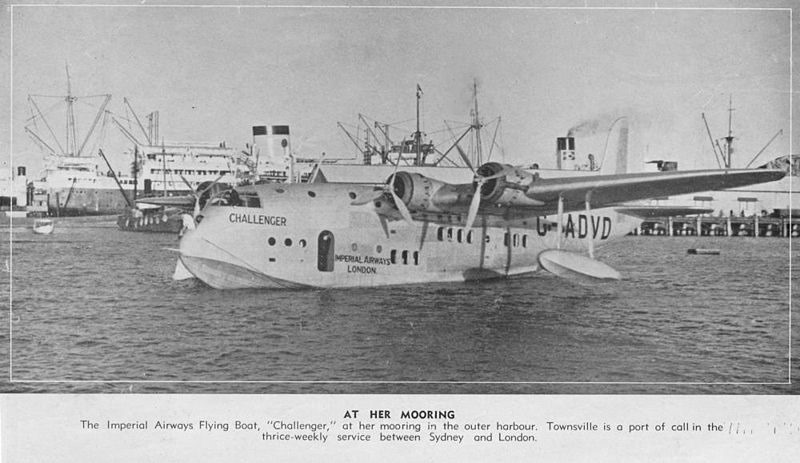
A little oddly too, our particular townhouse enclave was on the site of the old Short Brothers Empire flying boat factory, the craft that had served Imperial Airways during their 1930s pioneering of air travel to Africa, India and beyond. Later Imperial morphed into BOAC (British Overseas Airways Corporation), and I remembered that some of the first flights to Kenya used to land on Lake Naivasha and, while the crew put-up in the cottages of the Naivasha Country Club (where we ourselves had once stayed), travellers to Nairobi would have to complete the last sixty miles by dirt road.

The connection was a small ‘haunting.’ Added to when one of our first house guests, an expat friend from Nairobi (actually an Englishman who had settled in Australia)  told us that his father had been a steward with Imperial Airways. (This was the same person who, on another visit from Australia, came to stay with us in Much Wenlock, and on arrival told us he had a cousin living up the road).

Imperial Airways flying boat 1937 public domain

*

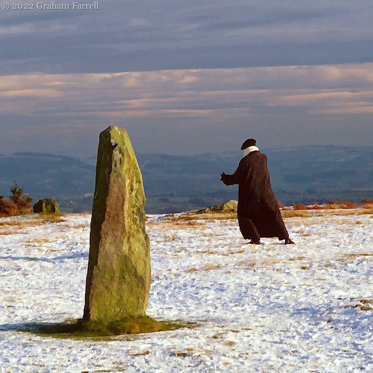
But back to the header photo. One of my adjustment strategies to UK life was to go to T’ai chi classes. This then explains the pose. I think I am in the throes of grasping the sparrow’s tail.

But what of the location?

One reason we didn’t want to be living in Kent was because family and friends were mostly faraway in the West Midlands: Shropshire and Staffordshire – and between them and us was the evil M25 London orbital car park motorway. We could access it in either direction from Rochester. It never made any difference. The jams seemed to last for days.

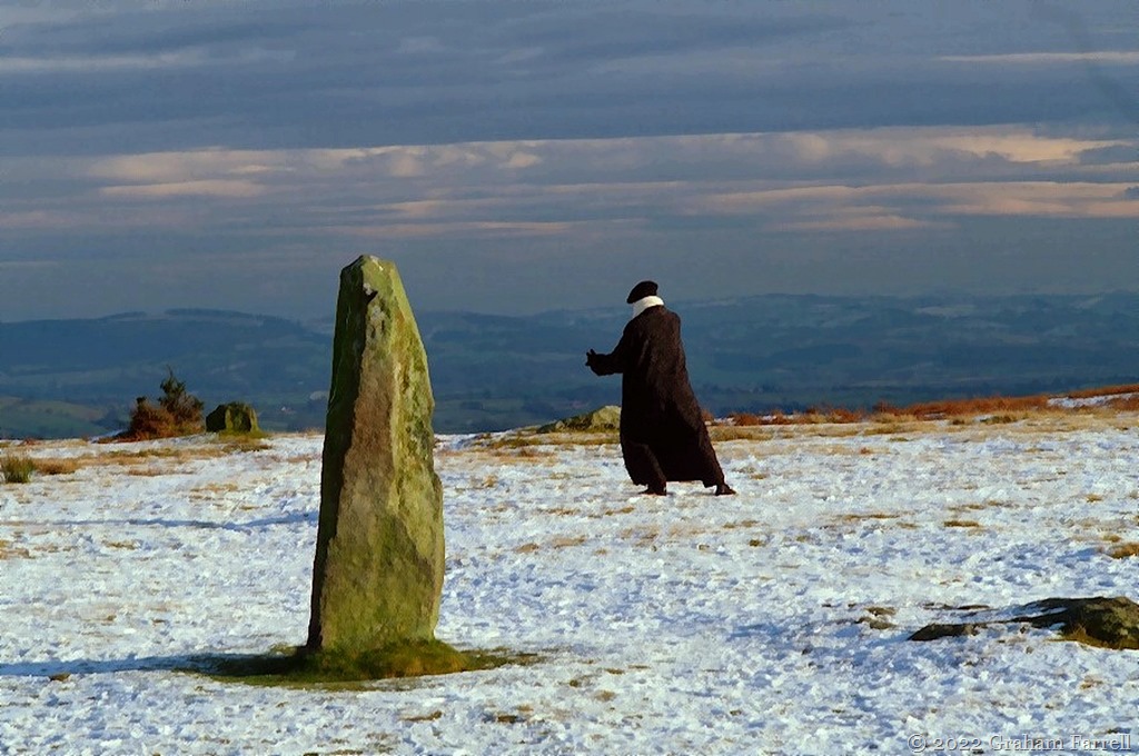
But then the photo shows we must have broken out. Here we are in Shropshire in late December 2001. It is one of the county’s most mysterious locations: Mitchell’s Fold, a Bronze Age stone circle, sitting on the borderland with Wales. I don’t remember now why we chose to be driving round the Shropshire hills in such wintery weather, but there’s more about that visit and the circle’s folk lore associations with wicked witch Mitchell here: Witch Catching In The Shropshire Hills

373

Copyright 2022 Tish Farrell

The Square Odds #3