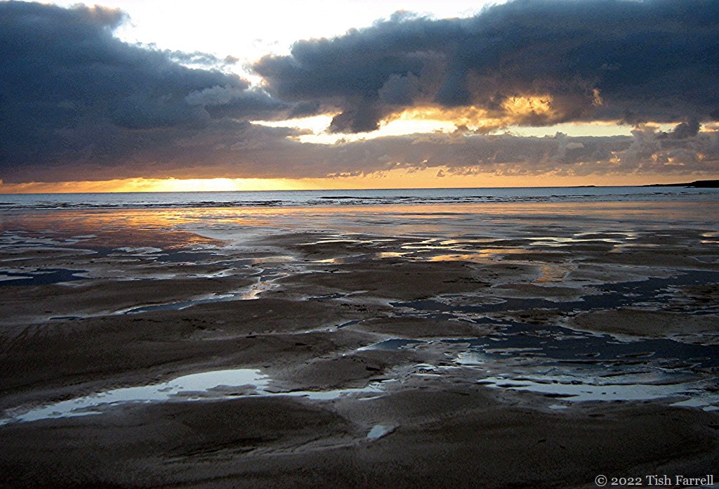
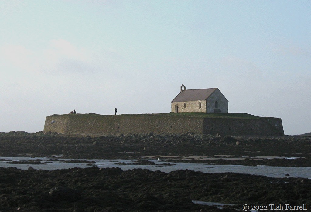
On a seaside lane in Aberffraw, Anglesey
*
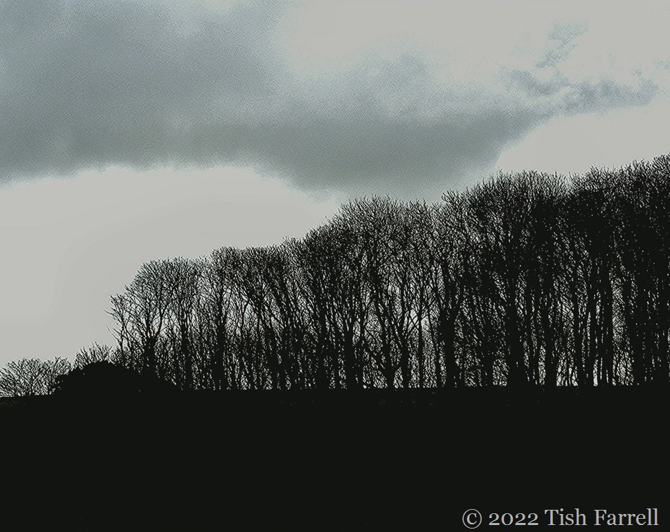
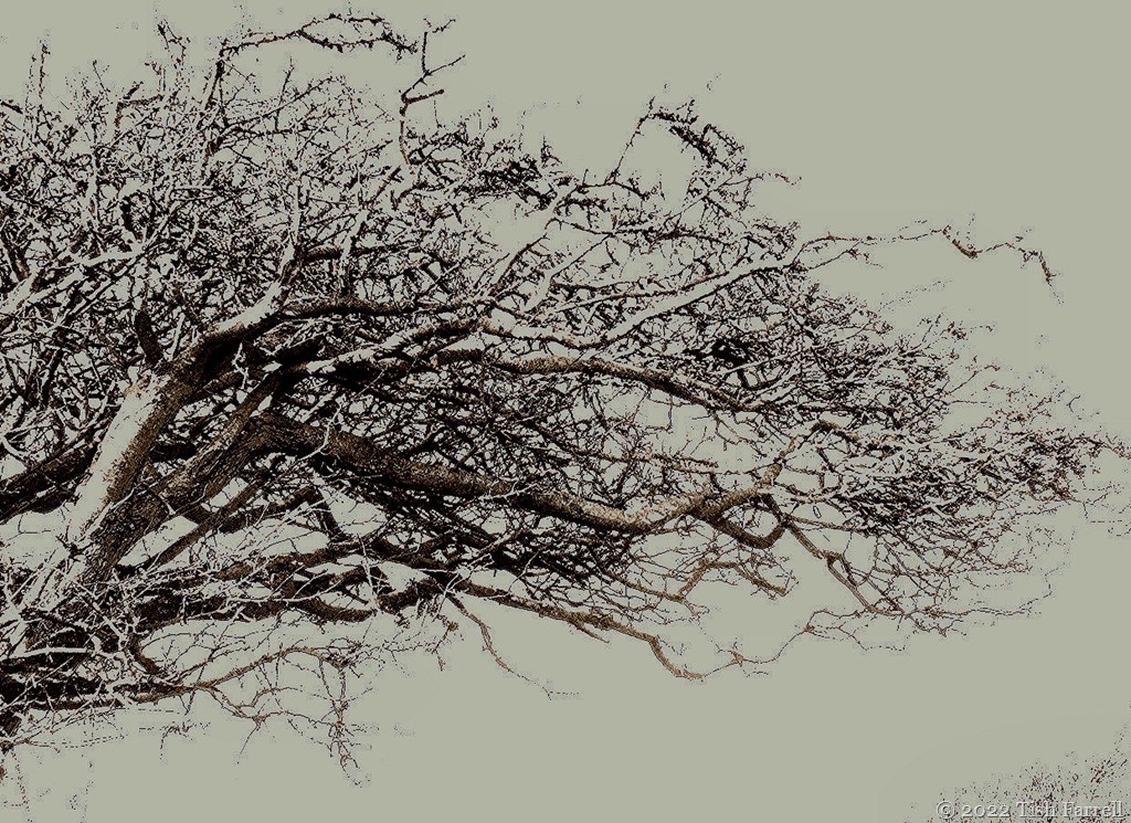
This week at Leanne’s Monochrome Madness, Sarah from Travel with me invites us to show her trees, especially ones that are strikingly sculptural.
Britain’s coastlands are good places to find such trees, the prevailing winds bowing and retraining limbs, scissoring canopies. And yet, to my eye, these trees seem to dance with the elements, the header hawthorn caught in the end flourish of a pirouette; the tree below mid jete: a paradox of energy transfixed.


Henllys Wood, Beaumaris, Anglesey
*
Other kinds of physical setting may enhance the intrinsic art of a tree. This next photo is of an ash, I think, viewed through an aperture in Penmon Priory dovecote, also on Anglesey island.


*
At Newborough Beach, further along the coast from Penmon, there are other elements in play. Erosion.

This is a tale of deposition and decomposition. The extensive sand dune system, on which these plantation conifers was planted, blew into this part of Anglesey during a massive storm in the fourteenth century. Now bit by bit, the storms are stealing the sands away again, leaving a parade of ghost trees.
*
And talking of ghost trees, there are yet other transformative powers at work. At Croft Castle on the Herefordshire-Powys border, the estate walks of Spanish Chestnuts, have succumbed to both age and disease (Phytophythora cinnamomi or cinnamon fungus). The trees supposedly date from the late sixteenth century, their origins ‘explained’ by an Armada legend that suggests they were grown from chestnuts found in the pocket of a ship-wrecked Spanish sailor.
Now Croft is nowhere near the sea, but maybe that is irrelevant. This was the age of grand garden making, and it is well known how rare plant material, however it arrived, was ever coveted by the landed elite. And of course it’s a good story, a fittingly mythic gloss for this gallery of the arboreally deceased; trees that have been allowed to die and be dead in their own spectacular way.


One of Croft Castle’s Spanish Chestnut ‘ghost trees’
*
Finally, and in more comfortable terms, there are those trees whose familiar contours or particular disposition mean home to us; they become our personal landmarks. Here are some from our Wenlock days:

The Linden Walk, Much Wenlock in late summer
*

The allotment ash tree in winter
*

The little tree on the hill above the house
*
Monochrome Madness: trees This week Sarah at Travel With Me is featuring trees. She suggests we consider sculptural qualities.