So why don’t we have supper with the elephant? says I. We can take a picnic.
It was Sunday evening, and he-who-builds-sheds had been toiling all day on a new construction. (We call it ‘the car port’, but it’s not for the car.) The response was not altogether encouraging. I knew he was thinking of the hill climb in the heat. I thought of it too, but the notional destination outweighed resistance. I packed a couple of small cool bags with spicy cooked chicken, bulgar wheat salad, apples and some elderflower kombucha.
We set off a little after six. The sun beamed hotly. (What a summer we’ve had).
The walk I had in mind is a climb of two parts, the first being the short sharp yomp up our street to the top of the town. This haul can be alleviated half way up from our house by deviating into Laburnum Alley, a shady ginnel of ancient walls and overhanging greenery, that wends more gently around garden perimeters, and brings you, breathing easily, into Welsh Street.
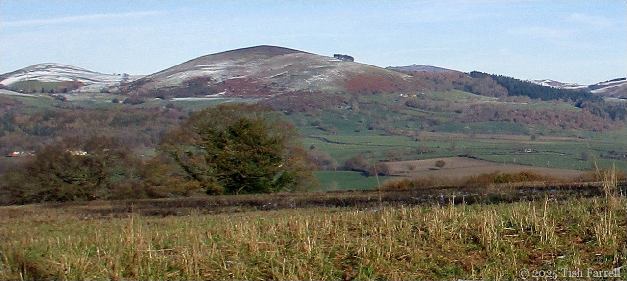
Next there’s an even stretch along the road around the Wintles mini eco-village before we head into the shade of this settlement’s privately owned (but freely accessible) woodland enclave of vineyard, allotments, and bosky meanderings. The Shropshire Way also bisects it. We pass through the gate into the field behind the gardens, and start the main climb. We’re headed towards Wales now, the Long Mynd our right.
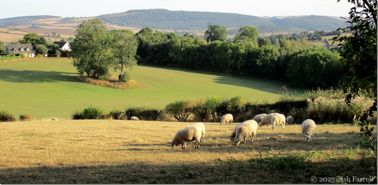
The field behind the Wintles woodland still looks remarkably green, this despite the months of drought. But above us, the fields are pale ochre, shorn of pasture or wheat, the hedgerows tousled, fringed with dead grasses and thistles bursting with down.

The few sheep we pass seem happy enough, and we begin to see that not everything has suffered from the lack of rain. The red clouds of the berry-laden hawthorns are astonishing, so copious is this year’s crop. The elders, too, are weighed down with ripe black berries, and later we see bushes of fat blue sloes (think passingly of making sloe gin), and then come upon a crab apple tree so crammed with fruit it is almost too good to be true. Excitement mounts. Crab apple jelly will definitely happen – if not yet, then very soon, and feasibly in quantities for all of Bishop’s Castle.
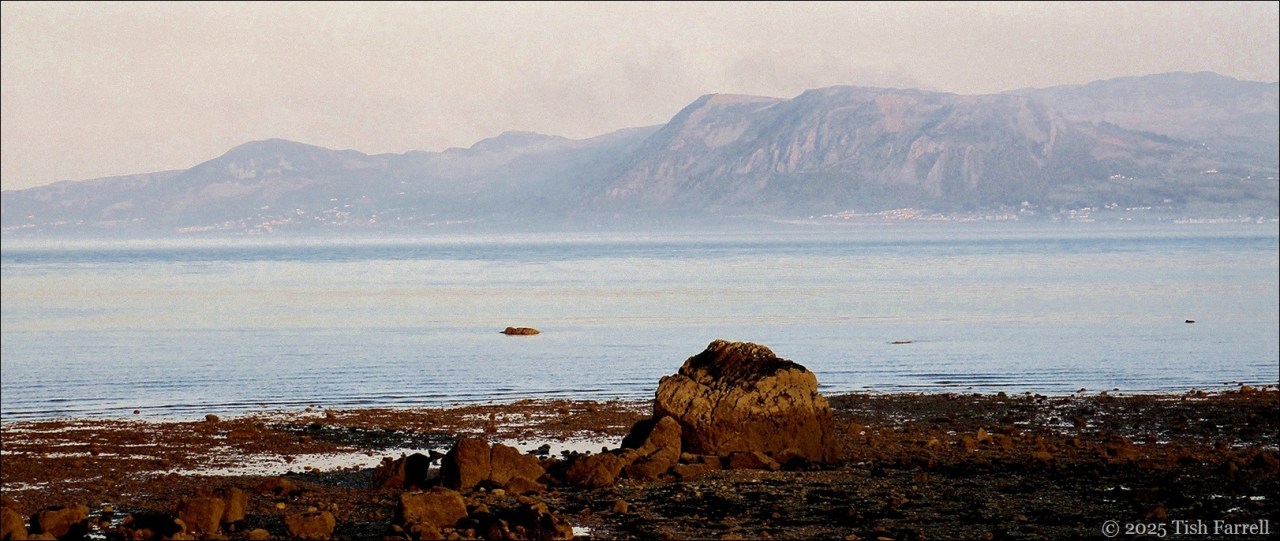
But first the picnic. We follow the footpath markers through two gates and into the trees below Foxholes Campsite. There’s a good view of the Longmynd now…

…and there is also an elephant…an Asian elephant…

*
Some of you will have seen this before, and I’m sorry to say that I’ve still not tracked down who made her or why she is here in this particular spot.
*

But here, then, was the envisioned picnic spot.
We ate our supper, sitting on a fine seat commemorating a lost love, greeting camping folk as they passed by, listening to the breeze in the trees. The elephant did not have much to say. Nor did Buddha who was sitting near us:

Just some quiet communing.
Once we’d eaten, I thought I could risk suggesting a little more climbing. This time to the top of the hill to see the views towards Montgomery.
It was here we found the crab apple tree.


*
And next to it a fallen giant with its own elephantine qualities. It looks to have been struck by lightning many moons ago:


*
And beyond it the wheat field, the crop harvested and the straw bound in roundels, which for some reason are always appealing:

*
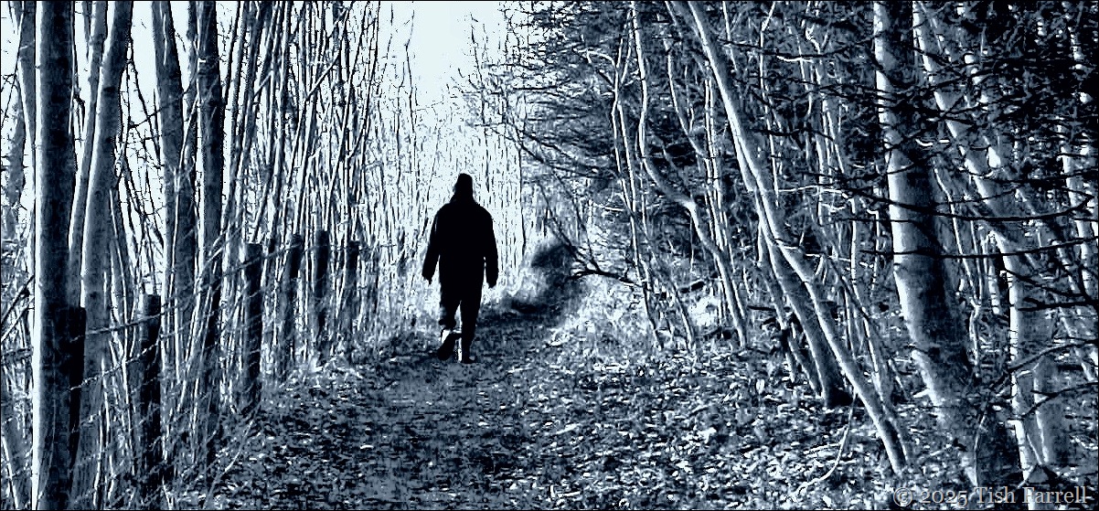
Then it was time to turn for home, slithering down the hill on sun baked ground…
*
…and on down the hollow way, back to the Wintles.

*
We should do this more often, we said when we arrived back at the Gables.
copyright 2025 Tish Farrell