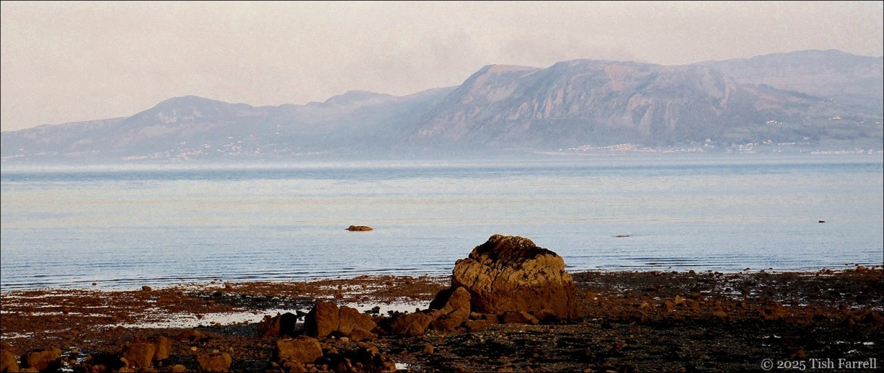
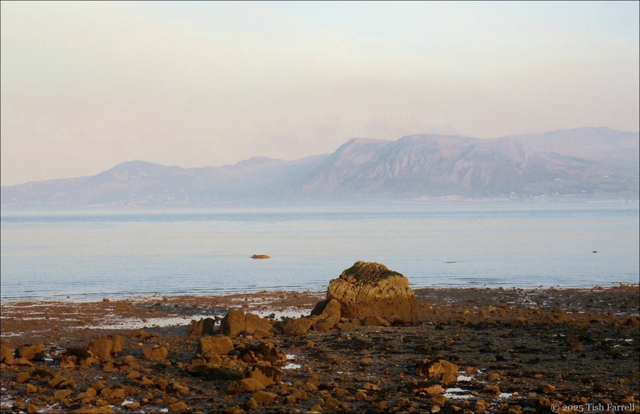
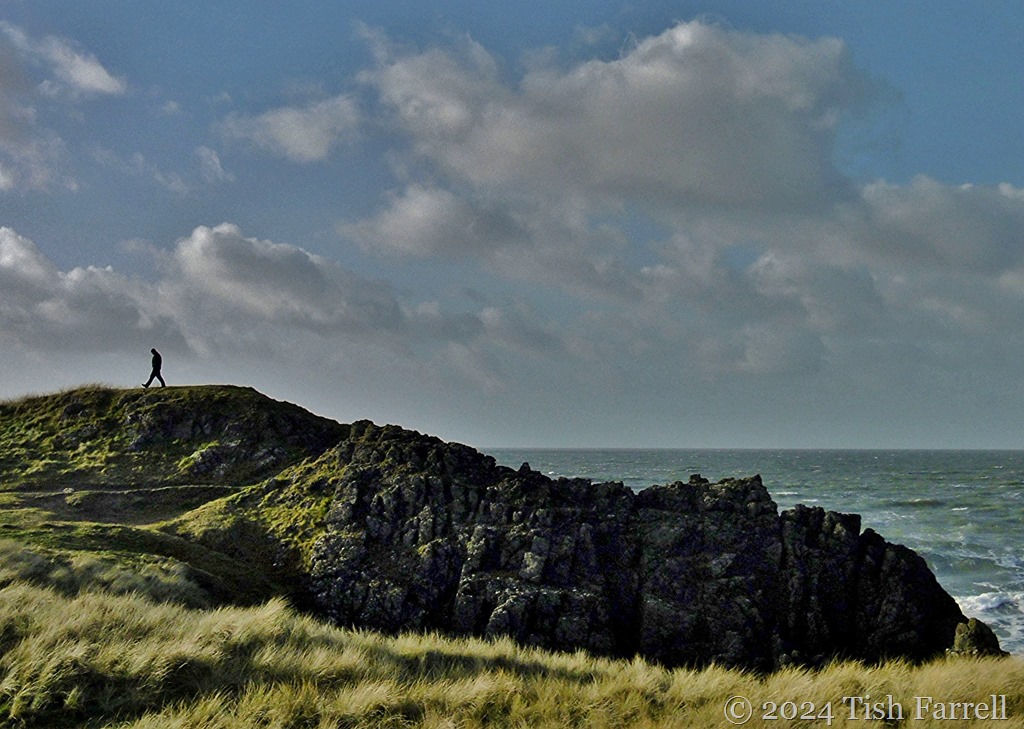
When last year began we were on the island of Anglesey in North Wales – gathering with family for a belated Christmas celebration. It was good to soak up some blue tranquillity. At the time, we were fretting over the sale of our cottage, plus trying to find a bolt-hole to rent while we looked for a new home to buy. All unnerving in all sorts of ways; nothing straight forward.

*
Finding a house to rent proved almost as hair-raising as selling the cottage (Huge demand, few available properties). Only by the skin of our teeth did we secure a place in time for moving day in early March. And then it snowed – for two days, an unexpected blanketing that closed most of the roads. Snow – of all things. The Farrells had not factored that in. Still, a day later than planned, and by devious routes, the removal lads came through. We were re-homed.
Then more unforeseen happenings.

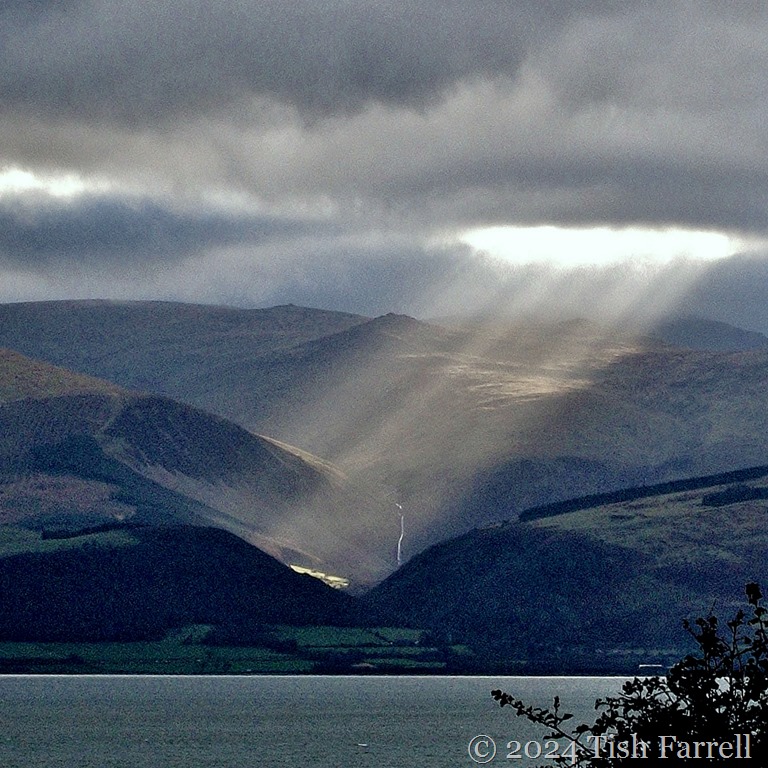
View from one of Broseley’s many country paths: bright and cold in March
*
By the time we moved to Broseley (East Shropshire), we had already set our house-buying sights on Bishops Castle or points well south-west of the county. For one thing, we wanted to be nearer to my sister, and I’d anyway dismissed Broseley as a final destination. I’d known it from an earlier chapter in my life and always thought it a plain and unalluring town.
Just shows what I know. I didn’t expect to fall in love with the place. It began with finding a maypole at the end of our street; and from it a sweepingly magnificent view above the Ironbridge Gorge. And it began with finding beguiling footpaths that meandered in and out of town and took us to some wild, wild places that seemed slipped out of time. And most of all it began when I discovered the network of thoroughfares and alleyways that belonged to Broseley’s ancient industrial past, the wonderfully named jitties, that to my mind suggested jetties, or things that jutted like prows of ships. Exploring them on our cool summer days felt like voyaging – through time, space, the imagination.
Go HERE for the jitties posts.

Here is one of many favourite finds: some historic re-purposing of discarded artefacts in an old wall on Gough’s Jitty. It’s been built from saggars. These earthenware boxes were once used for the packing of clay pipes, then stacked in a bottle kiln for firing. There were several factories in the town from the 17th century onwards. They exported their wares around the world. In fact clay pipes were often referred to as ‘Broseleys’.
*


Apparently the spot for some illicit fist-fighting back in the day.
*

Lodge Lane became a favourite walk. Once there would have been the heavy rumble of trucks hauling coal from Broseley’s mines, an area still called the Fiery Fields due to the old coal pits’ erstwhile tendency for spontaneous combustion.
*

Broseley sits above the Severn Gorge, directly across the river from Ironbridge and Coalbrookdale, so-called birthplace of the Industrial Revolution. The town evolved from an early 17th century squatter community of immigrant miners. Coal, clay, ironstone and limestone were plentiful. There was timber for construction and for the making of charcoal for fuelling furnaces and forges. And there was the river for transport down to Bristol. The wealth of local resources attracted the likes of ironmaster-pioneer, John ‘Iron Mad’ Wilkinson, who lived here from 1757 in a very fine mansion opposite the parish church.
I loved these views of multi-period, multi-layered habitation.
And likewise across the River Severn on the opposite side of the Gorge:

Broseley’s neighbours – Ironbridge and the Iron Bridge (1779)

*
I suppose if the little house in Bishops Castle hadn’t cropped up, we might well have stayed in Broseley. The folks were so friendly there. As it is, it’s good to think of our brief sojourn, even with the little pang of loss. Strange, how things turn out.
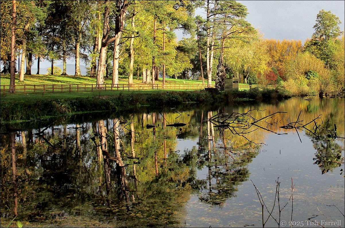
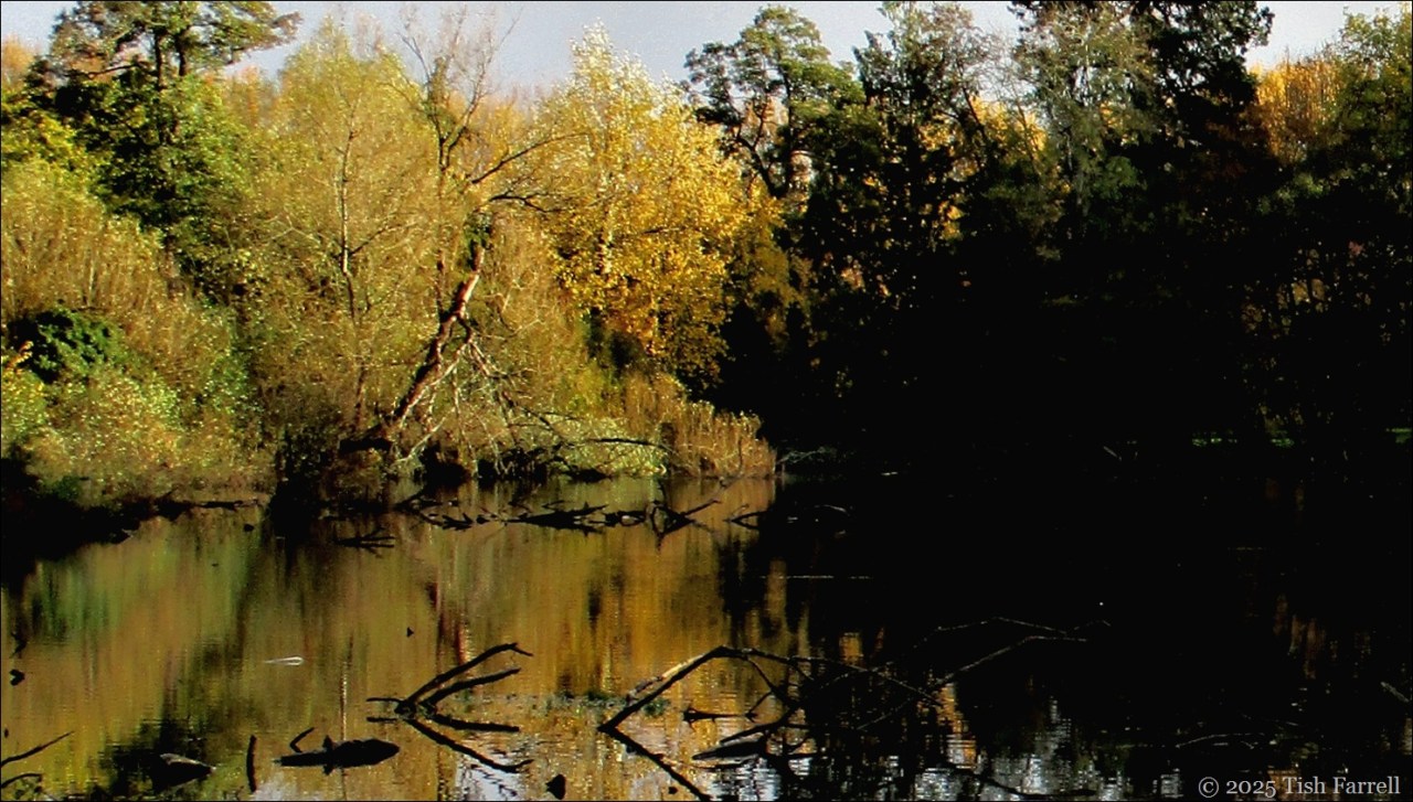
But now we’re here in an ancient agricultural town, where the folks are also very friendly. Clearly there’s many a tale to unravel here, or will be, once we’ve sorted out the house. This may take a while. For one thing, come spring there’s a new extension in the offing: this to remove an old conservatory and transform the space into a bright new kitchen with doors onto the garden. Apart from this, every room needs some serious attention, plus two chimneys to rebuild, and maybe the roof to replace. And then there’s the garden…
So all is in flux and not a little confused. But even so, with the turn in the year, it’s beginning to feel like home.


Lens-Artists: Favourite photos of 2023