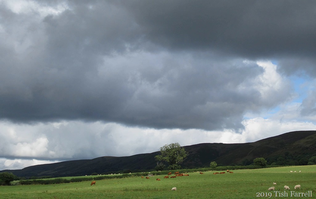

Here’s how our world looked on Christmas morning we drove from our side of the Long Mynd to a family gathering on the other side. Above, the westerly face, a sinuous small portion. Then below, some easterly features. It’s a very long hill.

*
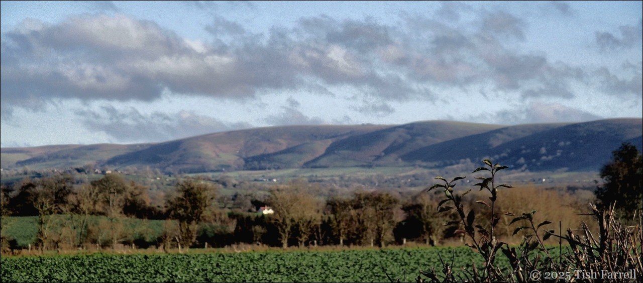
My sister’s home is perched on its foothills near Church Stretton. She looks out on Ragleth Hill: the backdrop to the day’s festivities, the deepening glow in ice-cold air while, indoors, lunch simmered and roasted and the wood stove crackled. Much laughter and chatter; the chink of wine glasses; rustle of wrapping paper. It was the finest Christmas Day, the sun alone a gift after the weather people’s threat of snow and earlier weeks of heavy rain.

*
Backtracking to mid-December and in the midst of gloomy wetness, we took ourselves off to next door Clun. Well water-proofed and wandering the lanes, we ended up at the Postcard Cafe beside the old Clun bridge. It seemed a good spot to lift the spirits:

Years ago it was a quirky little tea-room that also had trays of old postcards for sale. Now it’s bright and cosy resort, playing cool jazz and serving Brazilian coffee along with slices of the cook’s signature cardamom and ginger cake, and much else besides.

Meanwhile outside, the Clun River was threatening to leave its bed. It’s often guilty of serious flooding along the valley. Not so back in the summer, when the cafe’s clientele would spread themselves out at tables and chairs set out along the river bank, while the cafe’s staff would trot across the road with trays of cake and coffee, dodging the odd passing car. It was a pleasing reminder of warmer, drier days with no rain at all. (Though I do remember complaining about that!)

*
But enough of rain. Back to Bishop’s Castle, and another cold and sunny day on the High Street. Please note: this street will feature later, though not quite so emptily.

*
And so to Boxing Day and a lively gathering at the town’s ancient pub and brewery, The Three Tuns. It was a freezing cold morning so a big round of applause for Martha Rhoden’s Tuppenny Dish dancers and the Shropshire Bedlams morris men…


*
Later there was a performance of Castle Carols, by folks of Bishop’s Castle and the Clun Valley singing their hearts out. Choirmaster, local accordion-squeeze box magician, John Kirkpatrick, had schooled them well in ancient and traditional versions of English carols. He’s also the power behind the traditional dance teams.

*
This well reveals the Bishop’s Castle conundrum. The town so often wears a dreamy, not-much-happening face, but looks can deceive. I was thus sorry I’d missed a sighting of the local rugby club’s now annual charity fundraiser – the Boxing Day Boxer Run – wherein the brave run a circuit of the town, starting at the King’s Head pub, and wearing only their underpants. A chum told us he’d spotted twenty one of them charging up the very steep High Street. They raised over £500 this year. I’ll leave you with that image, then, as I wish all who come here a very
Happy New Year
and some cheery singing from Castle Carols:
The Changing Seasons: December 2025 Ju-Lyn at Touring My Backyard and Brian at Bushboys World are our very good hosts for posts of the month just gone. Many thanks, both.