Red Earth, Red Roofs…

227 sq

In my last post I mentioned my sense of shrinking horizons now we no longer live in far-flung places. Those who come here often were quick to see I didn’t mean this in a negative sense. It’s more about feeling satisfied in the place and space we occupy. I don’t need to go anywhere else –  though that said, a little trip to the nearest seaside before summer ends might be welcome. But paddling prospects aside, these days I am happy to look out on the hills and farmland around the town, and inwardly at the motley fabric of this ancient border settlement, a place which locals call the Castle.

008

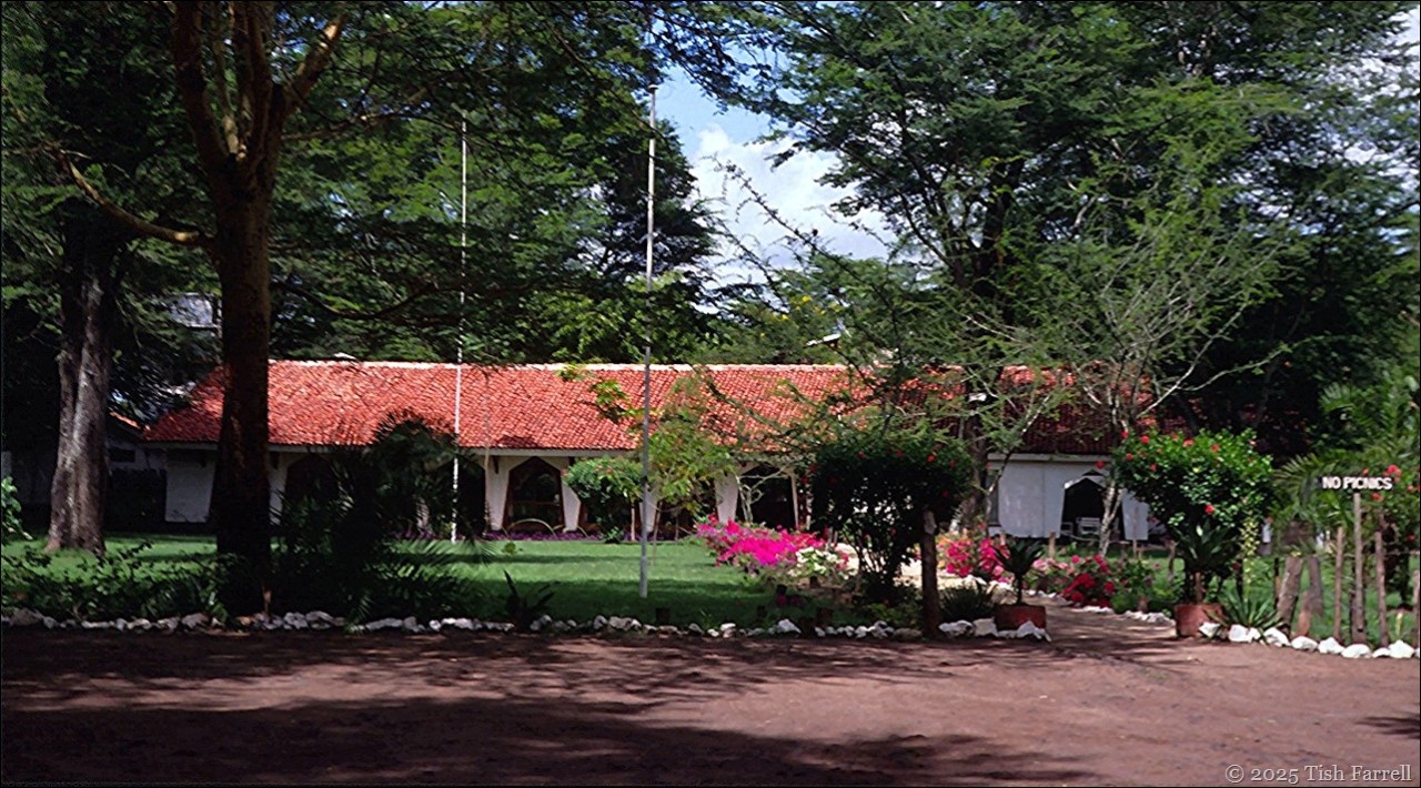
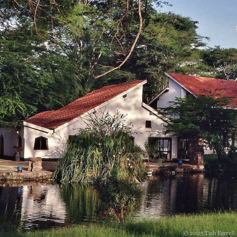
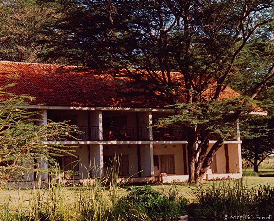
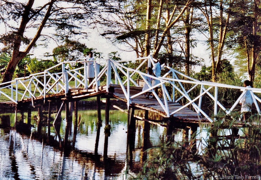
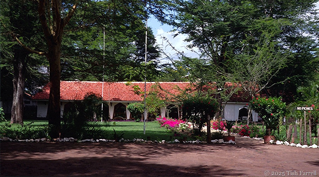
But then on these warm July days, I can’t help slipping back to Kenya, to Hunter’s Lodge, an oasis of a place that was pretty much ‘home’ in our first nomadic days in Africa. The research station where Graham was carrying out experiments on an imported crop pest, larger grain borer, was up a track behind the lodge garden. While he toiled, I sat under a thorn tree and dreamed. Did I really see Maasai women in their full red regalia delivering the hotel milk from gourds slung on a donkey…or a kingfisher the size of a crow strike the pool like some avian pile-driver…

tropical red roofs


More of this story in several places including: No way back from Africa – the road to Hunter’s Lodge

Also Once in Africa, Kenya Diary Continued and In an equatorial light


229 header

#SimplyRed Day 11

Waiting For Rain…In Kenya Past And Shropshire Present

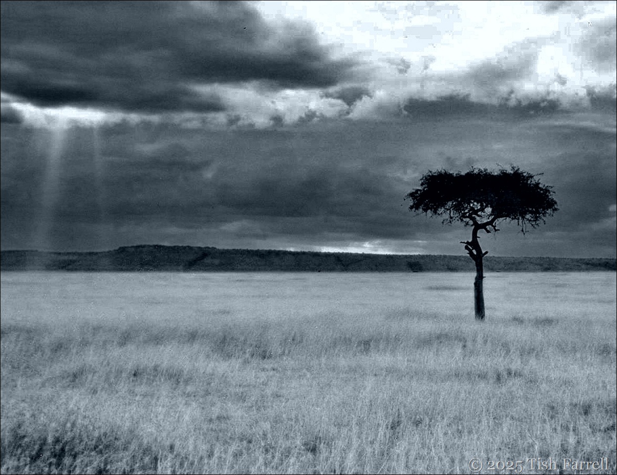
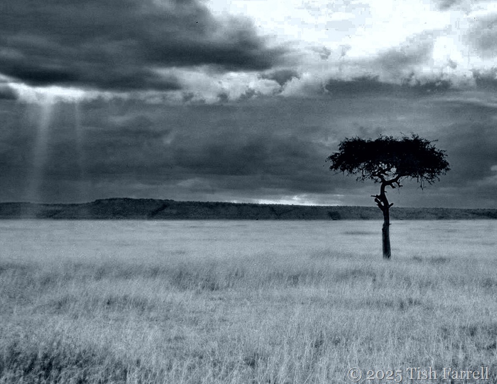
desert date mulului tree

Maasai Mara with desert date tree

*

We’ve been living back in the UK since 2000, our years in Africa increasingly faraway. And yet…

And yet this spring and summer in Shropshire we’ve been very short on rain. The temperatures, too, have recently risen after a cold and windy spring. My gardening self grows anxious. Several times a day I do the rounds of my vegetable plots, checking on the kales, chard, beans and potatoes, the onions and leeks, examining the greenhouse tomatoes and cucumbers for signs of stress. My hands are always dirty, soil crushed under nails, as I prod the soil, testing for moisture levels around the plants.

It makes me think of Kenya days, pastoralists like the Maasai depending on rain to replenish the grasslands for grazing, cattle their life-blood in every sense;  village farmers waiting for the November-December small rains for sowing; for the long rains March to May to bring the crops to harvest: lives and livelihoods dependent on monsoon weather systems that are nothing if not capricious.

Nor is this new. Oral history accounts, some going back two or more centuries, make reference to periods of drought and famine. One type of oral record is the memorized male circumcision list that survives in some communities. The rite  was carried out every ten years or so, and the given year commemorated by some notable event. Food shortages were often inferred.

For instance the list for Maragoli in Western Kenya has 1760 as the time of Kgwambiti. Our Maragoli house steward, Sam, interpreted this as people behaving selfishly like animals, suggesting a food shortage. Likewise Vuzililili  for the year 1800, a time when small insects fed on large insects. Then in 1900 Olololo-Lubwoni – refers to a time when jigger fleas (olololo) infested people’s feet, implying that that households were dusty and not swept properly. Lumbwoni is a very thin sweet potato, also suggesting drought and lean times.

img120 ed

Another remarkable source of rains failure evidence is the revised historical events calendar used in the enumerators’ guide to the 1969 Kenya census. At this time many rural householders would have been born in the 19th century, or else reckoned family chronology according to particular past occurrences. For semi-arid Ukambani, a drought-prone region in southern Kenya, it was generally agreed that there had been six significant periods of famine in the 19th century: Ngovo (1868); Ngeetele (1870); Kiasa (1878); Ndata (1880); Nzana (1883) and Ngomanisye or Muvunga (1898).

In the past, too, it transpired that the Akamba people had established emergency strategies via extended kinship allegiances. This involved moving from the worst stricken areas and, for a time, living with relatives who were not so badly affected, or who had their own water-holes. Rules of reciprocity of course applied; this was not charity.

It was important, too, that in pre-colonial times the Akamba had a sphere of far-flung connections through their hunting and trading activities, one that extended into what is now Tanzania. This increased the scope for finding sanctuary from drought-stricken regions, but of course was curtailed when the colonial administration consigned each ethnic group to a designated reserve, basically drawing a line around the territory that each community apparently occupied at the time when the British arrived; self-determination being duly cancelled by a line on a map.

But perhaps the most compelling evidence for the enduringly random state of weather across East Africa is the deeply embedded cultural phenomenon of the rainmaker. Every community had them; perhaps still does. They were often rich and powerful individuals. And contrary to what may be imagined, the forecast of rain was mostly based on informed careful observation of natural phenomena, including the movement of clouds, wind directions, dew formation, the behaviour of particular hygroscopic plants and trees that respond to rises in ground water, the arrival of particular species of birds and insects. Such observations informed planting decisions, the particular crops chosen, the times and places they were sown.

It’s tempting to think our Met Office could learn and thing or two.

And so I ponder again on our lack of rain. Our lives do not depend on the success of our garden produce. The Co-op’s daily deliveries of fresh food are two minutes’ walk from the house. I anyway have an outside tap and a clutch of watering cans. The water is always there. (Or at least it is for now). A luxury however you look at it. But even so, the daily sight of parched soil does seem to trigger some bred-in-the-bone alarm system, all those generations of farmers and gardeners in my family tree worrying…

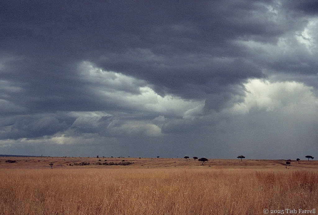
And so the sky-watching continues, the hopeful eyeing up of every darkening cloud.

And probably also, in the not too distant future when the rain comes, there will be the ungrateful complaint that it doesn’t seem to know when to stop.

*

copyright 2025 Tish Farrell

Lens-Artists: Stormy This week Beth wants to see scenes of storminess.

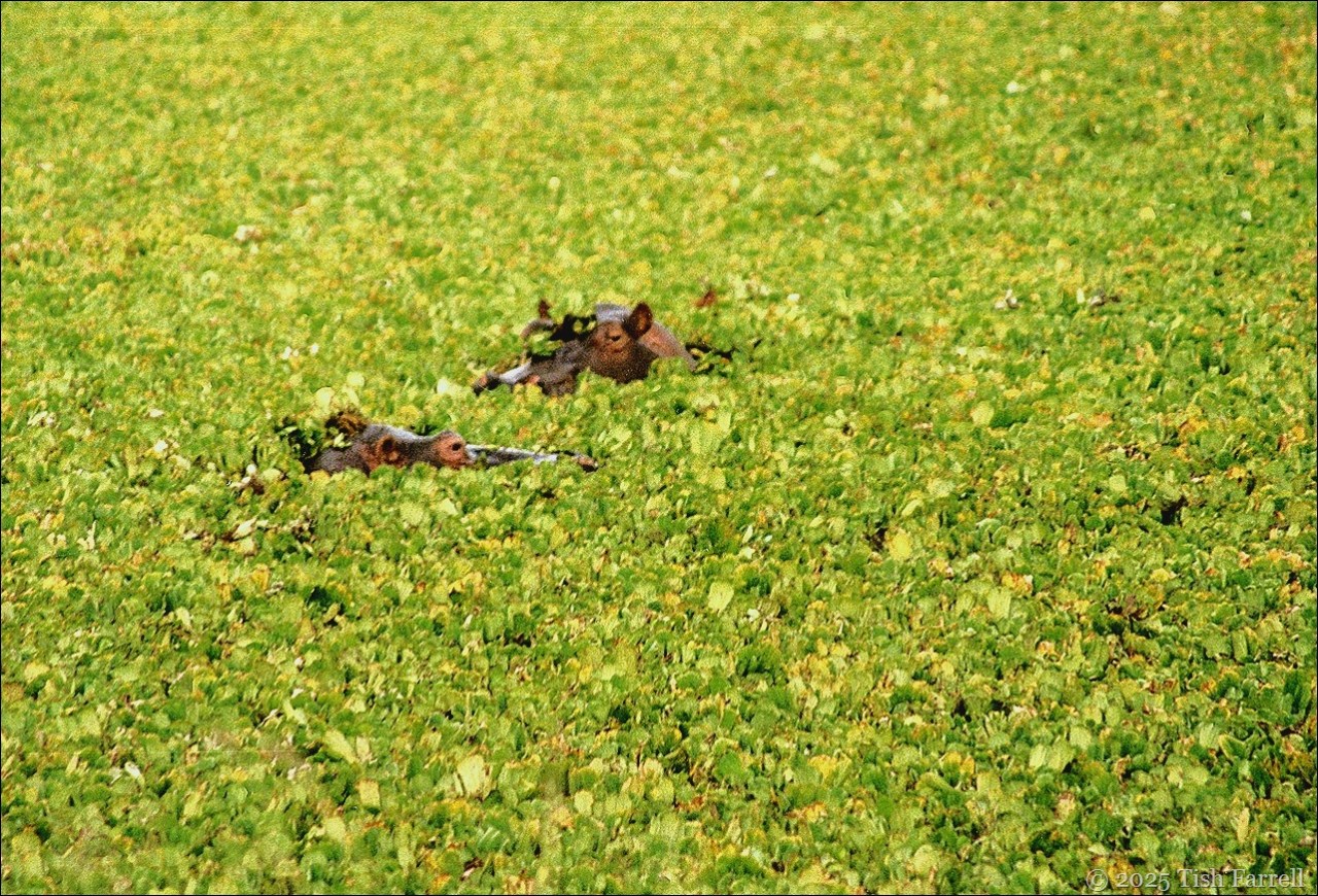
Hippos Under The Carpet…

img039ed2

This past week at Lens-Artists, Tina has wanted to know what we were thinking as we took our photos. This led me back to the old Africa album of vintage slides and photos from when we lived in Kenya.

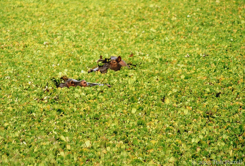
The header photo did not scan too well, but it was such an unexpected moment, it still makes me laugh.

There we were driving along a dry savannah track in the Maasai Mara, the only water (or so we thought) some distance away in the Mara River, when suddenly we were alongside an even spread of water-loving cabbage weed. Weirdly, it seemed to be growing on a level with the grassland. No sign of the water underneath though, and so no sense of depth…

…until up popped the hippos to give us the once over as we passed. It was hard to take in. How could such huge animals have squeezed themselves under this seeming thin layer of weeds. It conjured a surreal image of a large living room with a huge pile rug and numberless unseen hippos lurking underneath.

*

maasai mara_0004ed

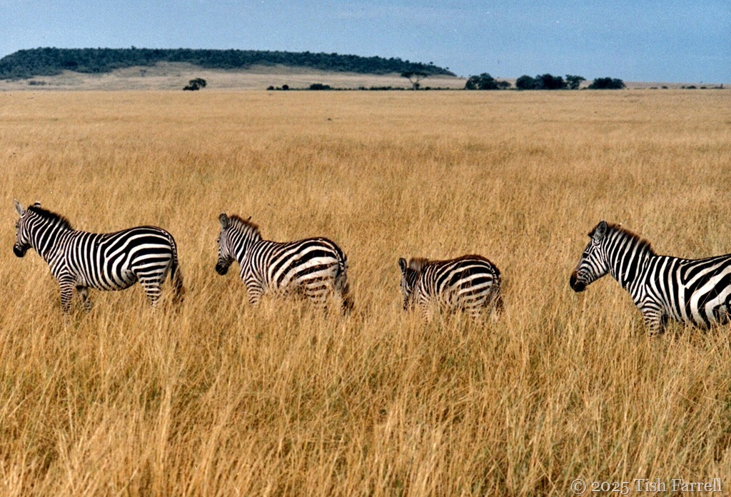
Of course you can tell what I was thinking here: African plains with zebra crossing.

*

cheetah 6

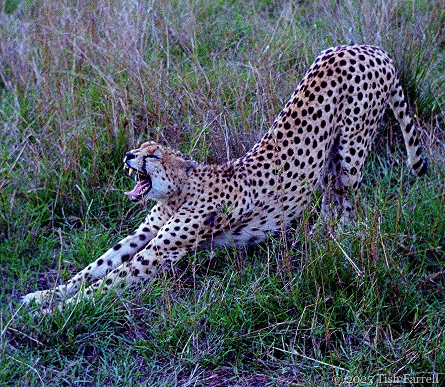
A spot of yoga anyone?

*

Mara 8

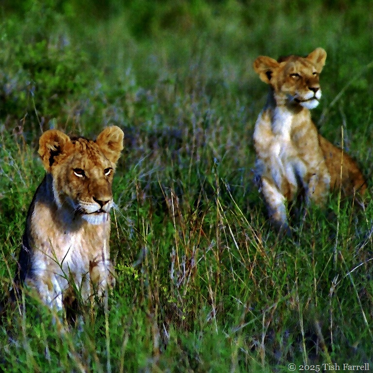
And now who remembers the Bisto Kids advert? That young lion on the right seems to be savouring some delicious aroma; probably not gravy…Aaah! Wildebeest!

Lens-Artists: The first thing I thought of…  This week Tina sets the challenge. What were you thinking when you took the photo.

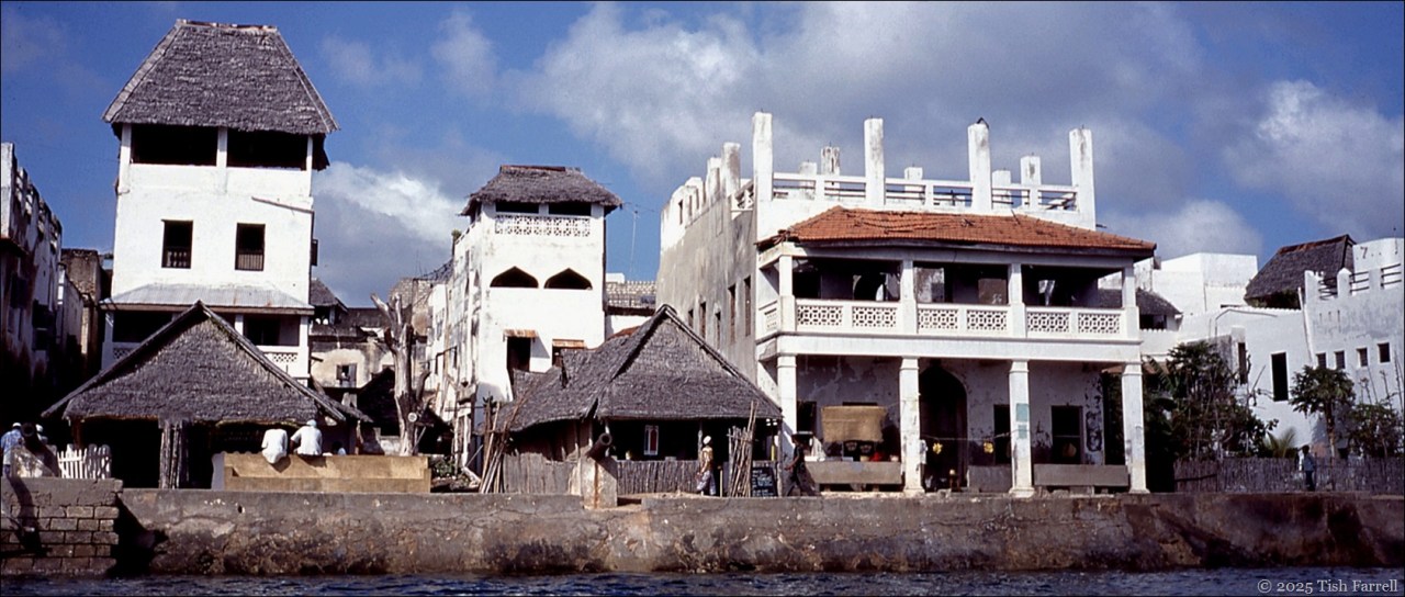
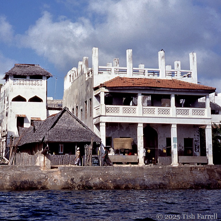
Swahili Geometry: Once In Lamu’s Stone Town

img479sq

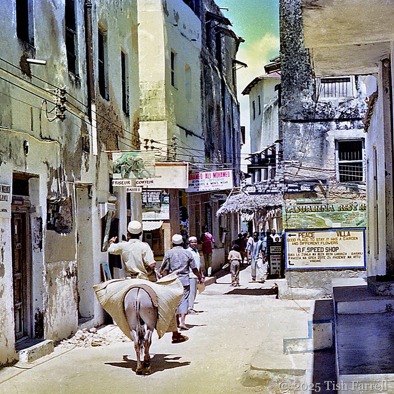
Long ago when we lived in Kenya, we spent one Christmas on the Indian Ocean island of Lamu – a never-to-be forgotten, all too brief safari.  We stayed in the roof-top quarters of an ancient merchant’s house in Shela Village, a thatched eyrie that, being open on three sides, allowed to us eavesdrop on all our neighbours. It was breezy too, the natural air conditioning more than welcome in December’s steamy heat.

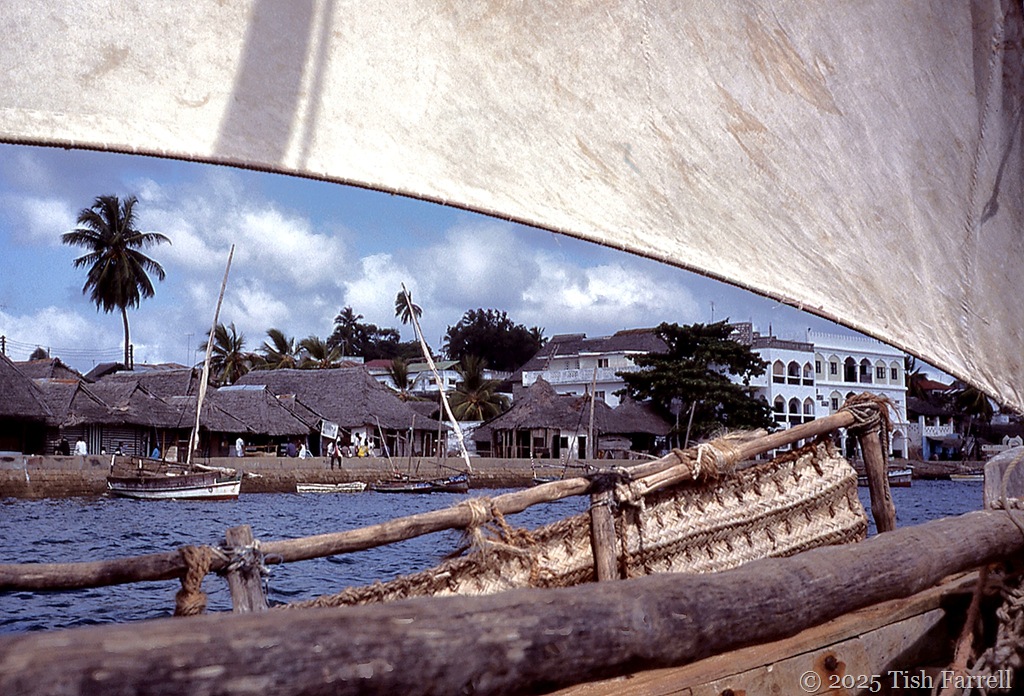
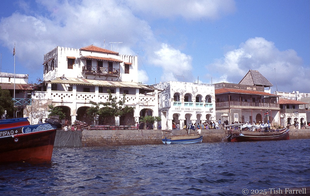
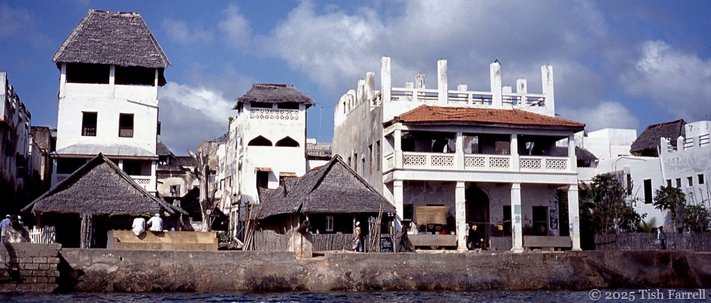
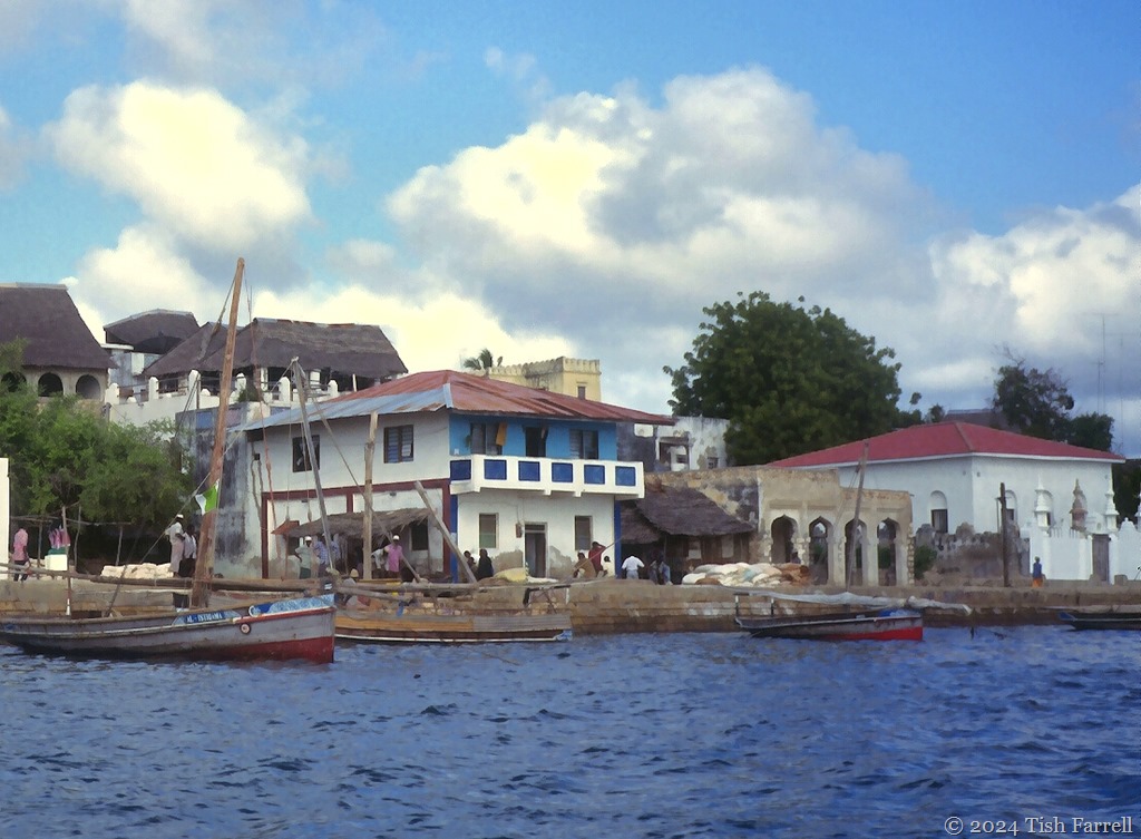
Our first view of Stone Town, Lamu’s main settlement, was on Boxing Day when we were taken on a dhow trip out to the reef. It was a good introduction, sailing along the entire quay, hints of Sinbad magic.

img483 ed

img469ed

Lamu’s Stone Town is one of the best preserved Swahili towns on the East African coast, lived in for over 700 years. It is not one of the earliest by any means, nor the finest, but it has its own particular history as a one-time city state, ruled by its own sultan. Its wealth back then was built on the seasonal dhow trade with Arab seafarers. Now its residents make their living from tourism, fishing, boat building and farming. It is also a place of pilgrimage. Lamu is devoutly Muslim, and each year holds a five-day Maulid festival, celebrating the birth of the prophet, Muhammad.

For more about the Swahili people here’s a segment from an earlier post:

“You could say that Swahili culture was born of the monsoon winds, from the human drive to trade and of prevailing weather. For two thousand years Arab merchants plied East Africa’s Indian Ocean shores, from Mogadishu (Somalia) to the mouth of the Limpopo River (Mozambique), arriving with the north easterly Kaskazi, departing on the south easterly Kusi. They came in great wooden cargo dhows, bringing dates, frankincense, wheat, dried fish, Persian chests, rugs, silks and jewels which they traded with Bantu farmers in exchange for the treasures of Africa: ivory, leopard skins, rhinoceros horn, ambergris, tortoise shell, mangrove poles and gold.

By 700 AD many Arab merchants  were beginning to settle permanently on the East African seaboard, and the earliest mosques so far discovered date from around this time. These new colonists would have married the daughters of their Bantu trading hosts and doubtless used these new local connections to expand their trading opportunities. Soon the African farming settlements were expanding into cosmopolitan port towns. Itinerant merchants and their crews would also have had plenty of chances to get to know the local girls. The weather served this purpose too. Between August and November the trade winds fail. Voyaging captains would thus put in to a known safe haven to wait for good winds. And while this was not a time to be idle, since boats had to be beached and the crew put to cleaning and sealing the underwater timbers with a paste of beef fat and lime, three months was a long time to be ashore and far from home… continues HERE

img595sq

Main Street, Stone Town

*

#GeometricJanuary

img479 header

This Made Me Smile ~ Once Upon A Time In Kenya’s Highlands

img20241008_11580324ed2

It seemed the greatest gift for this nosy writer when Graham said I could go with him to survey the Kikuyu farms just north of Nairobi. Yes, yes and yes. I would be delighted to look for smutted Napier Grass. And hold the clipboard. And  manage one end of the tape measure.

We were all set then, along with Njonjo, senior driver for the Kenya Agricultural Research Institute, where Graham’s crop protection project was based.

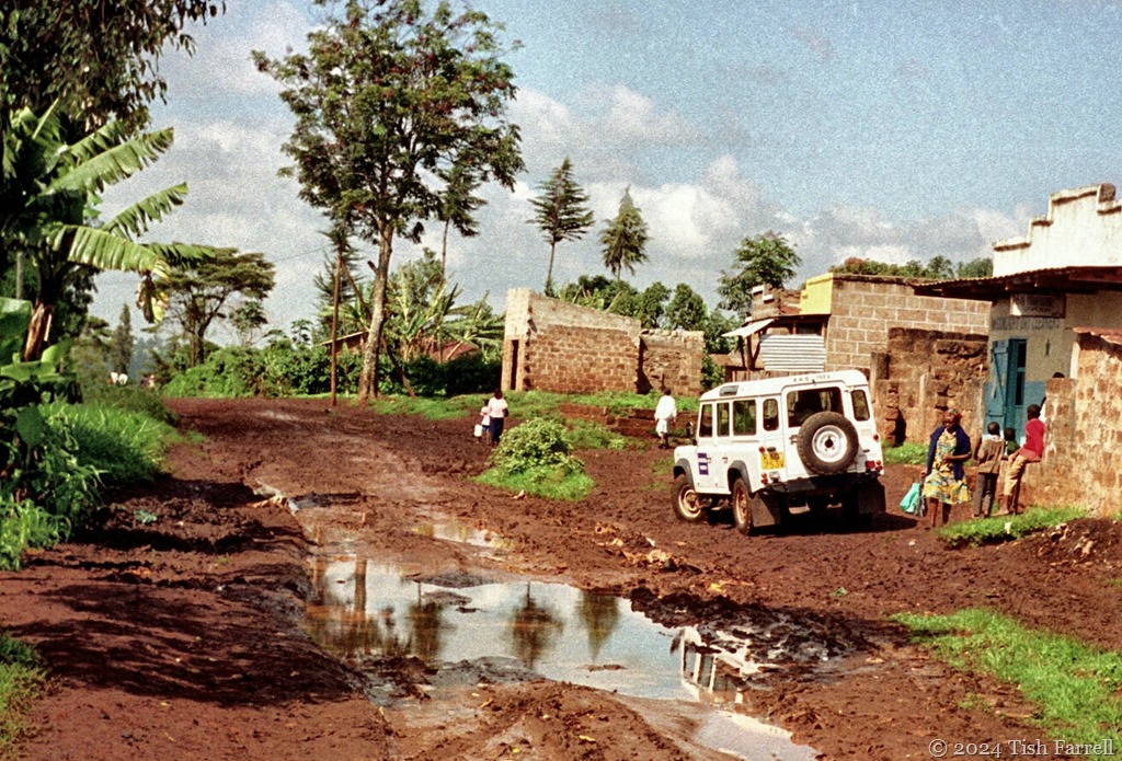
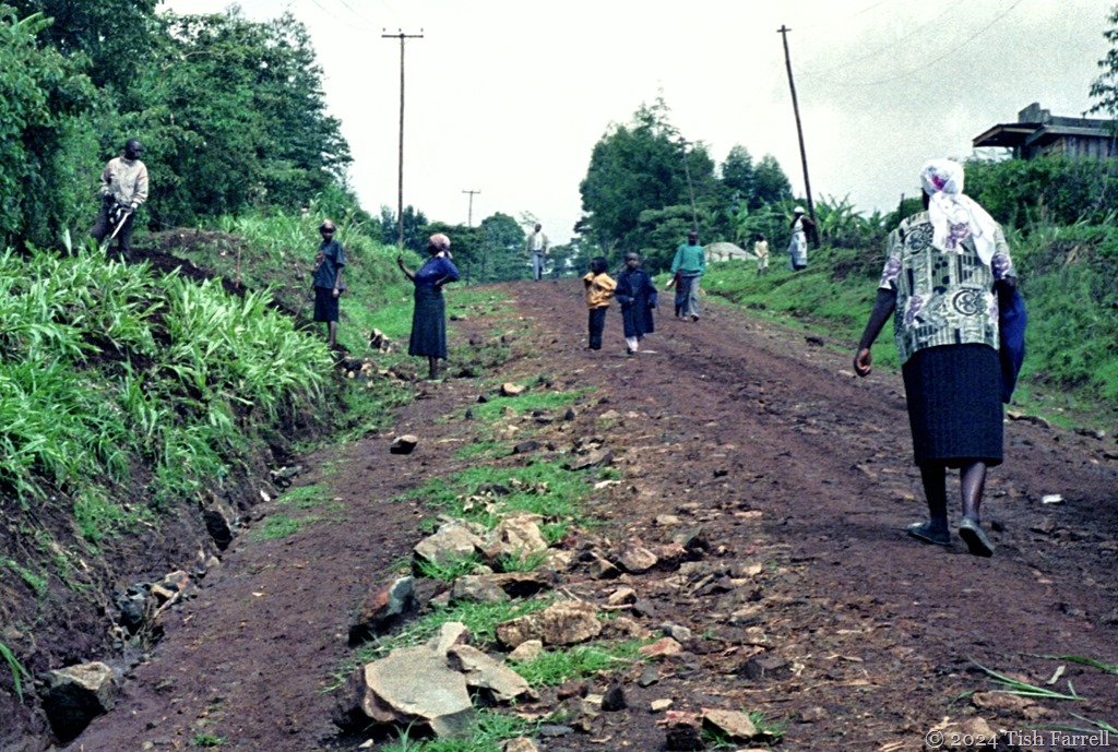
It was the time just after the late 90’s El Nino rains. The Rift escarpment roads were terrible, many of them washed away. In other places great chasms had opened up, or the roads were strewn with boulders brought down the hills by flash floods.  But this was also home territory for Njonjo. He had ancestral land there. A farmer then, when he was not employed as a driver. He anyway handled the Land Rover with great skill, and astonished us, too, by simultaneously negotiating giant pot holes and spotting plots of smutted grass growing many metres from the roadside behind kei apple and winter jasmine hedges.

img138 ed

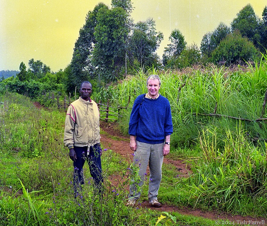
Njonjo and Graham

*

trading centre after El Nino rains ed

Trading centre after El Nino rains

*

Rift lane after July downpour

*

Of course, after a fine spell, the roads baked hard into gullies and corrugations. This next photo shows one of the Rift Valley lanes on the edge of the escarpment. You can just make out the valley bottom through the far haze:

Rift lane 2ed

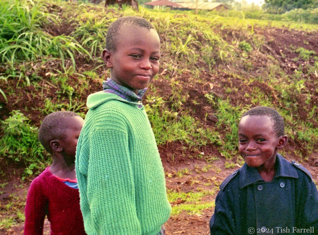
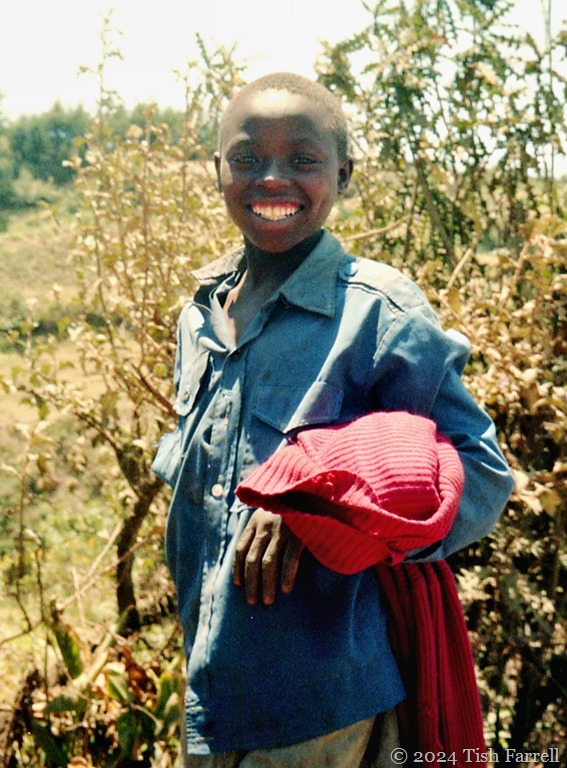
I don’t recall why we were all out of the Land Rover at this point. Probably Njonjo was asking directions. Even locals have problems finding their way across the ridges. Anyway, this was the moment I met this lovely young man:

img125ed

*

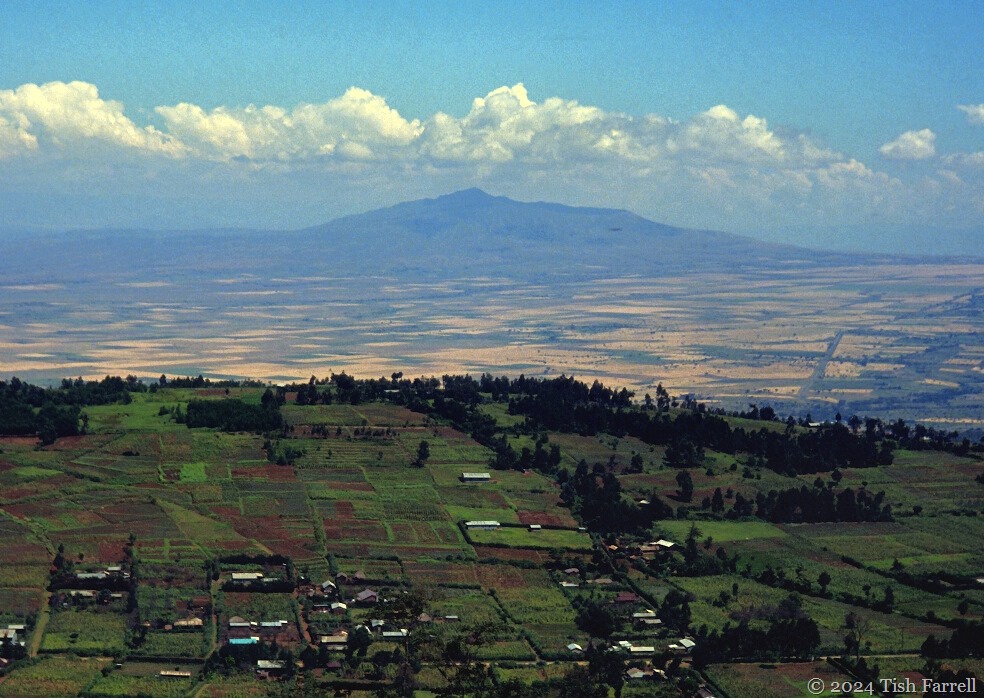
Rift Valley from Escarpment ed

Small-holder farms at Escarpment, in the Rift’s shadow, Mount Longonot in the background

*

As we jolted and slid along the country lanes, Graham was using a GPS to select farms at random. When a location was chosen, Njonjo then took further charge of operations and went to  find the owner of the farm, and talk them into admitting a couple of wazungu , who would like to look at their Napier Grass.

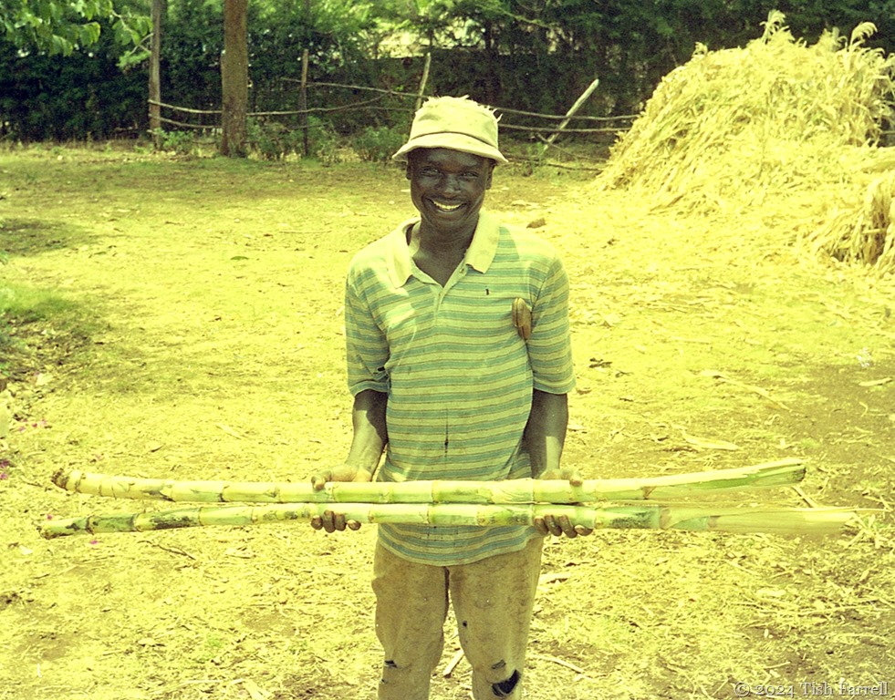
Over the weeks of the survey it became a matter of pride that no one turned us away. In fact the opposite was often overwhelmingly true. Wherever we went, we were met with great courtesy, mugs of tea and presents of farm produce: plums, pears, sugar cane, a cockerel. We had brought useful information that must be reciprocated. Njonjo was particularly adept at fending off serial invitations to lunch, and did so without us seeming too rude. Otherwise the job would never had been done.

img194ed

This farmer gave us sugar cane

*

Mrs Njuguna's Farm ed

One chilly morning Mrs. Njuguna served up mugs of hot chocolate before we went to examine her napier grass plot

*

napier grass and farms

tea fields and napier grass

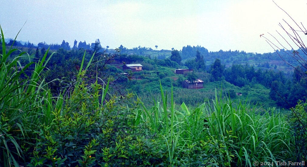
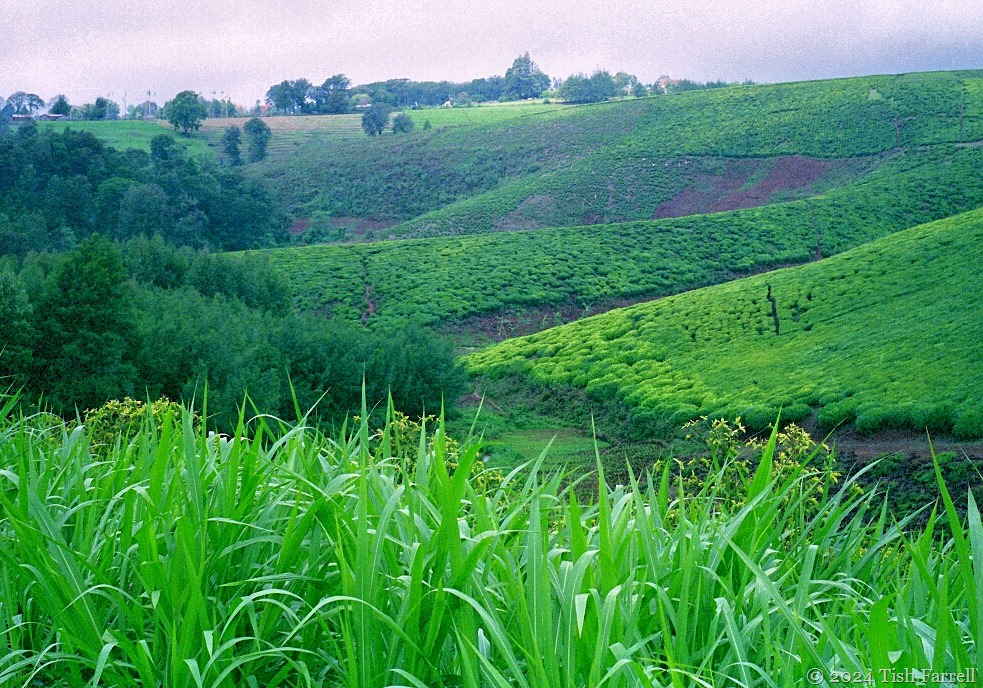
Napier Grass (foreground in both photos)  is an essential  animal food crop for small-holder farmers who zero graze their stock. Zero graze means they have no access to pasture, but grow plots of grass wherever they have space, including on roadside verges, and then crop and deliver the grass to their animal pens. (Commercial tea gardens in the background). Most farms (shambas) are on ancestral land that has been subdivided down the generations and may be only a few acres or less.

*

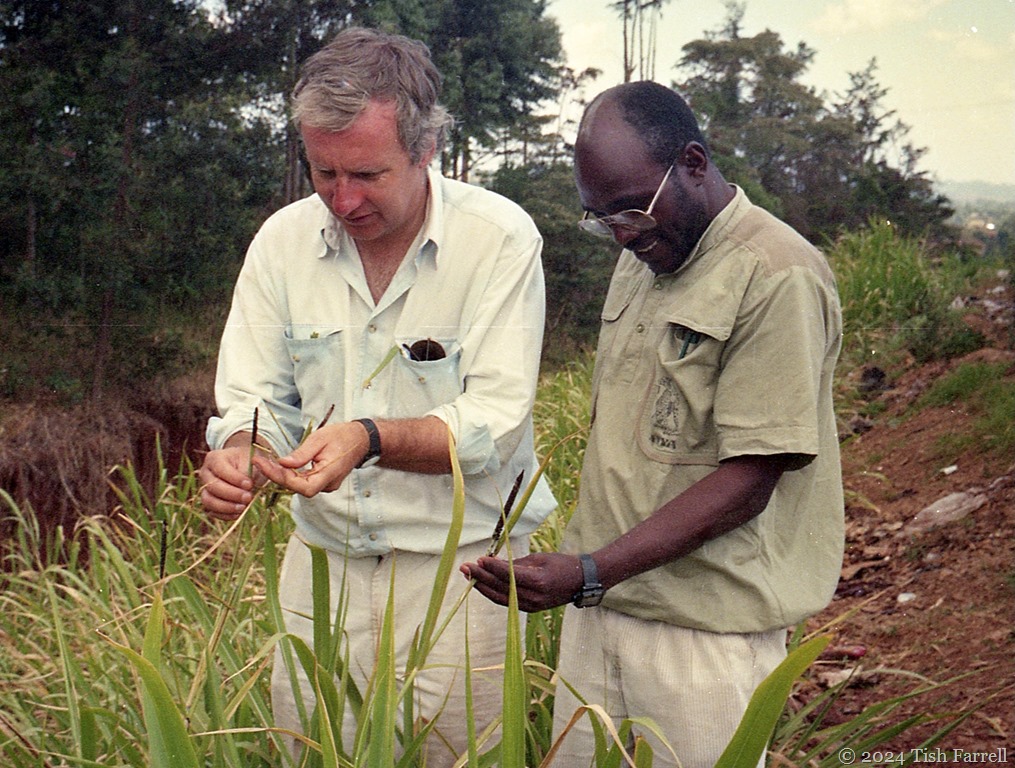
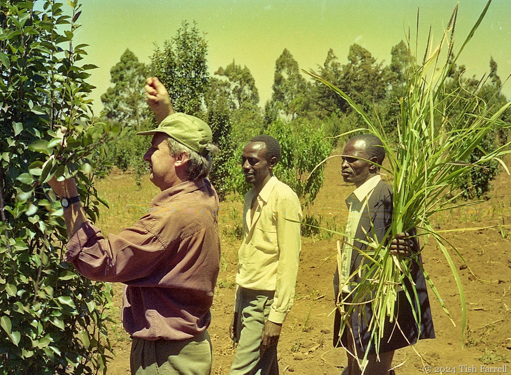
By now you’re probably wondering what Napier Grass smut looks like. You will also have gathered that in this context, smut has nothing to do with off-colour jokes or questionable practices. (That said, everyone found it hugely amusing that Graham was doing a part-time doctoral thesis on smut). It is in fact a fungal disease that attacks grasses, including maize and sugar cane. On Napier Grass it becomes visible when the plant begins to flower; the florescent parts look as if they have been dipped in soot.

Graham and Jackson best

Two happy plant pathologists: Graham with Dr Jackson Kung’u admiring smutted grass growing on a road reserve in Nairobi, as spotted across a busy dual carriageway by Njonjo.

*

The diseased grass isn’t apparently harmful to the animals that eat it, but there are serious implications for farmers who rely on it for zero grazing. In time, smut weakens the plant and so less and less leaf mass is produced. The spores spread on the wind, although Graham thought the most likely source of infection was due to farmers unknowingly giving cuttings of infected plants to their neighbours. The only solution is to dig up the plant and burn it.

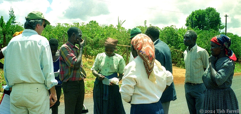
Farmers, predominantly women, were keen to hear anything and everything Graham could tell them. Impromptu roadside smut seminars became a feature, Njonjo providing lectures in Kikuyu or Swahili for those who did not speak English. Graham also distributed information sheets. We never seemed to have enough!

impromptu smut workshop

*

On some of the farm visits, it was inevitable that Graham would be consulted about other plant diseases that farmers had noticed. Here there’s some problem with the fruit trees.

img080 ed1

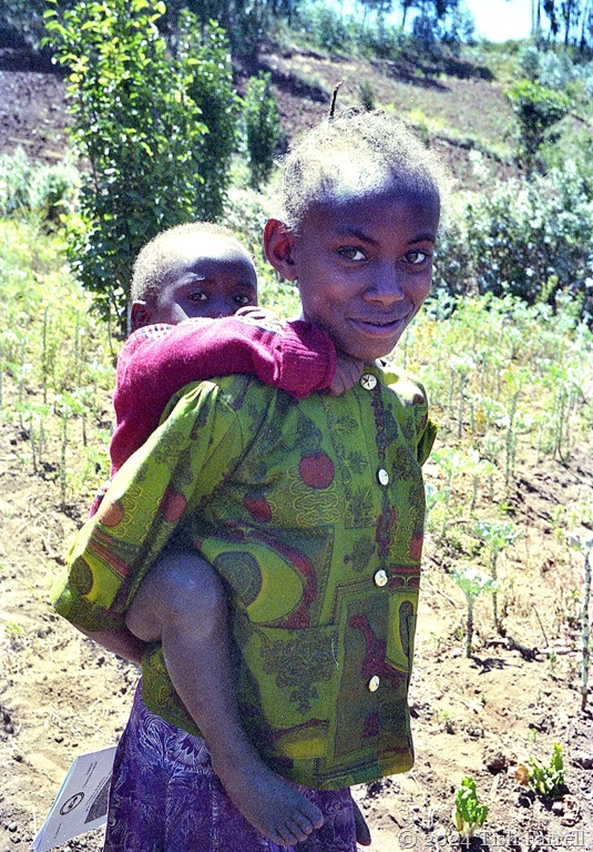
The farmer’s daughter watches us. Her father had handed her one of Graham’s smut information sheets: the school girl in the family…

img097ed

*

napier grass on the Rifted

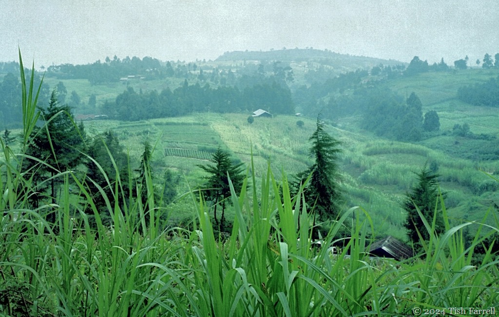
The Kikuyu uplands are mostly 5-6,500 feet above sea level, the settlements strung out along ridges. Although at the tropics, early mornings and evenings can be cool, and especially in June and July, when there may also be fine rain and fog. Some of the highest settlements at around 7,000 ft are in the frost zone, the landscape’s bleakness, with bracken growing along the roadside, reminding me of Scottish uplands.

Kikuyu farmstead 11 ed

*

All in all, Graham’s smut survey was among the highest highlights of our seven year stay in Kenya. Although not everyone was always keen to speak to us:

img161ed

copyright 2024 Tish Farrell

Lens-Artists: This made me smile   Ann-Christine is making us all smile with this week’s theme.

Tales From The Lake Shore ~ Of Hot Springs, Cold El Nino Rains And A Leopard

img20241001_19513812ed

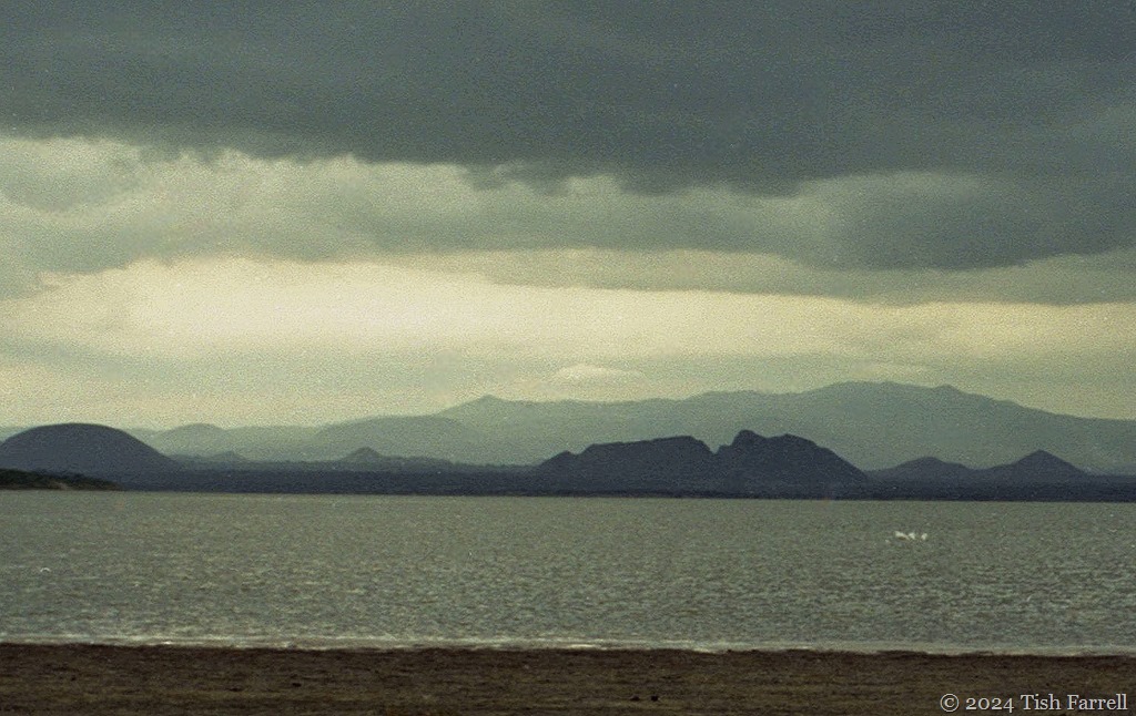
Elmenteita December 1997

*

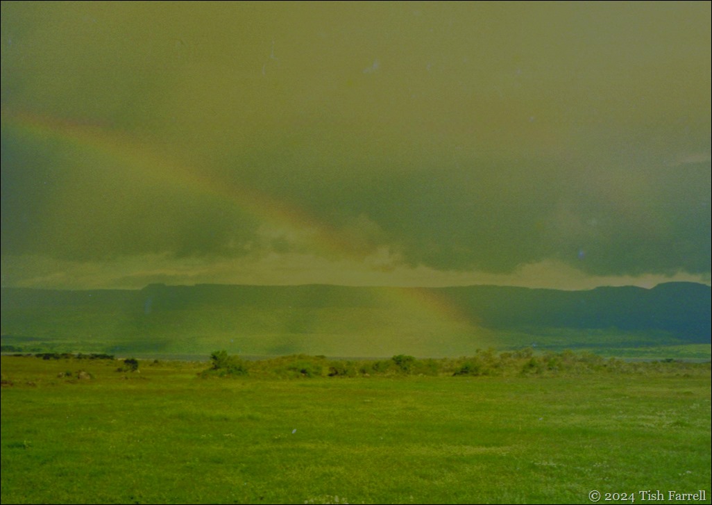
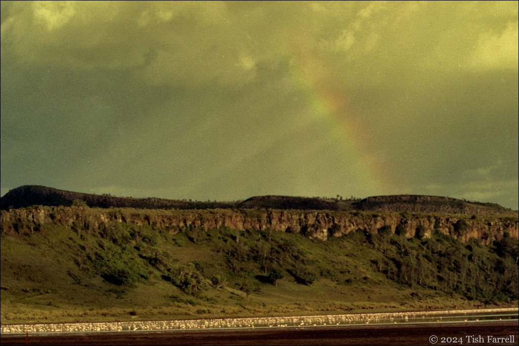
I’m having camera problems when I take this first photo, but in its way, it speaks of the times. It is early December 1997, our sixth year in Africa. There have been recent months of crazy weather with Kenya awash from El Niño floods and devastating downpours. When the rain rolls into the Great Rift, a lugubrious twilight descends, lowering in all senses. It feels cold too, and especially for a month that is usually hot; the equatorial summer in fact. Normally, too, October to December is the time of the short rains, the season for seed sowing. But instead of hopeful cultivation, there are reports of whole hillsides, entire farmsteads, being swept clean away.

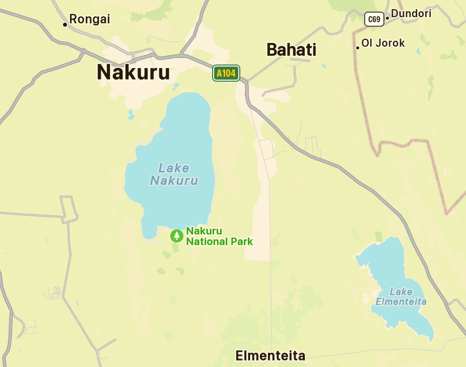
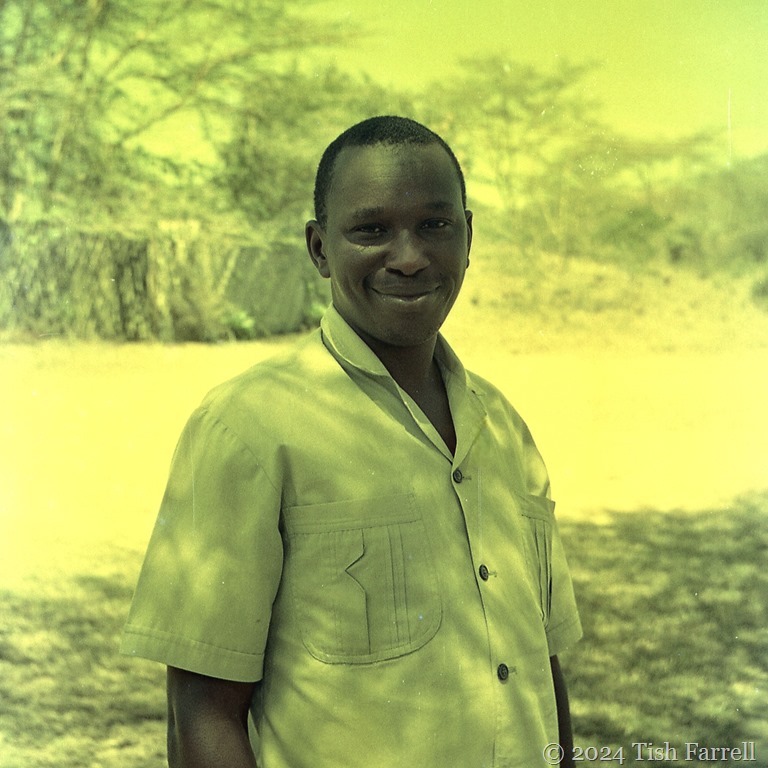
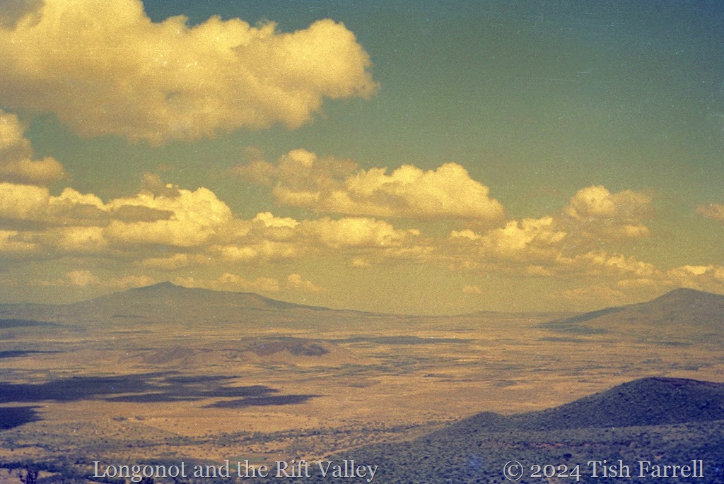
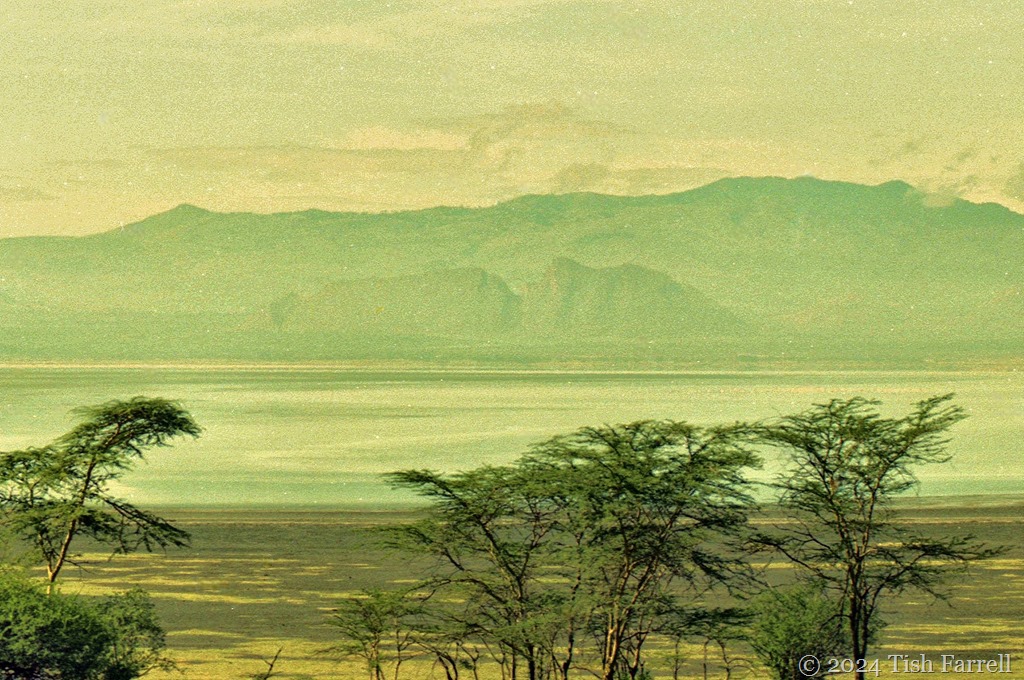
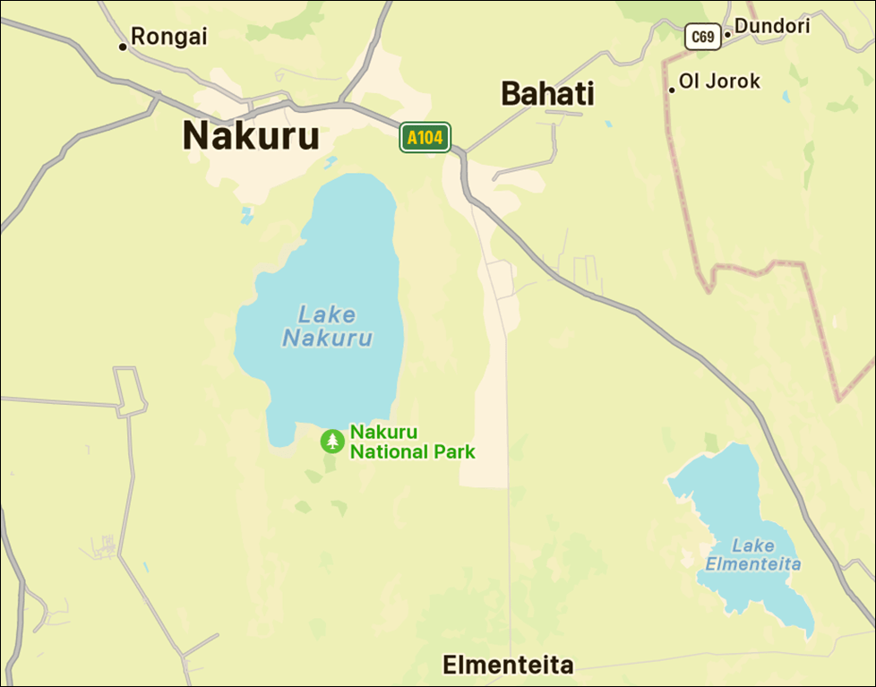
The day I take this photo I’m with a Kenyan ecologist, Michael, a quietly spoken young man whose community belongs to the Central Province highlands. He has driven me out from Delamere Camp for a day’s excursion across the westerly reaches of Lake Elmenteita. We don’t have rain, but the light is poor and the landscape, at times, looks as dreary as an English November. We are heading south to an area of the lake known for its hot springs. But that story comes later.

*map
*

And the reason this trip is happening is because my other half is some twenty miles further north up the Rift Valley, attending a three-day Crop Protection workshop at Lake Nakuru. And since he must drive past Elmenteita to get there, he’d had the kind thought to book me into the Soysambu Delamere Camp; once the workshop was done he would join me there for a couple more nights.
scan-140502-0013

*

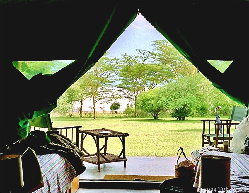
When I am dropped off on a Sunday afternoon, I find the camp sorely lacking in visitors. The bad weather, plus political tensions in the run up to the general election, including riots and a killing spree down at the coast back in August, are keeping tourists away. The only other guests are an English couple who have won the Kenya trip in a charity raffle. They are well-heeled, with connections in publishing and arms dealing, but know nothing of Kenya’s current political unrest. Having flown to the tropics out of a wintery England, they are put out to find they should have packed sweaters, raincoats and sturdier shoes.
img20241004_11430944ed

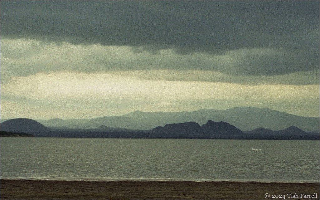
View from Soysambu Delamere Camp: rain in the Rift and the Sleeping Warrior, a volcanic plug also known as Lord Delamere’s Nose.

*
img185 Godfrey Mwirigi

*

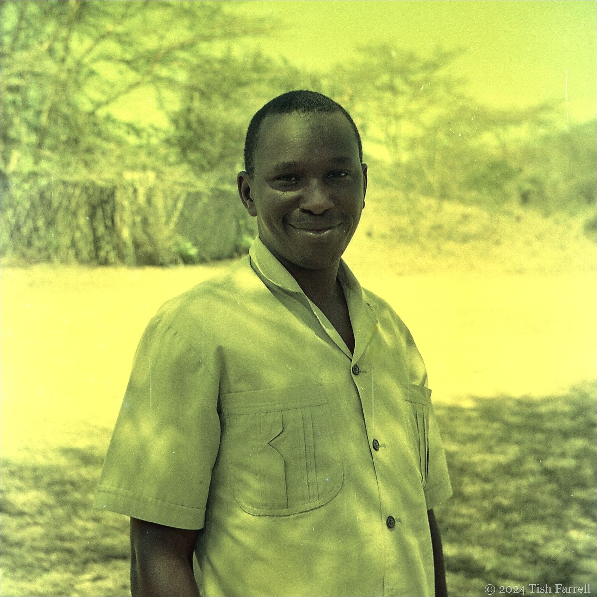
I find myself in the care of Godfrey Mwirigi, the camp manager.  He quietly ensures I do not eat alone, and joins me at every meal. Like the best party host he also presides over the clifftop sun-downer that happens each day at around 5.30. It is part of the camp ritual, guests are driven up through the sage scented leleshwa scrub to a high terrace above the lake. There they are met by the catering team presiding over a full bar and trays of tasty hot canapes. There is no stinting even though there are only three of us to please.

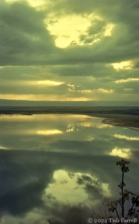
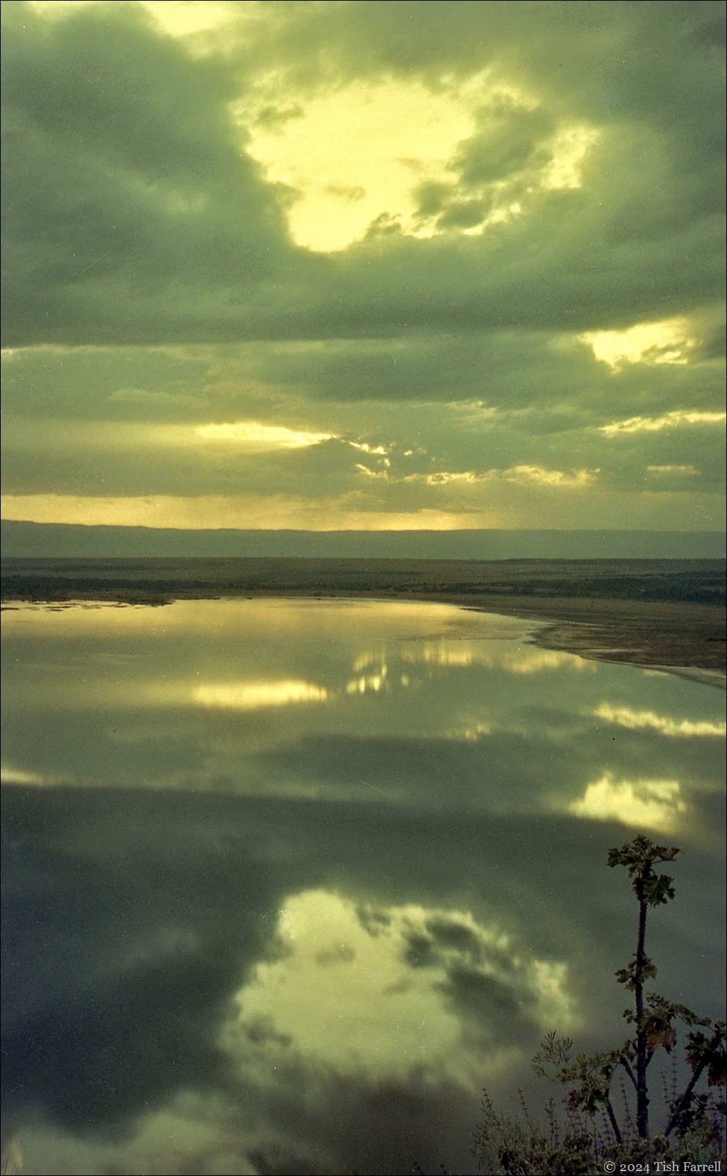
It is more than a touch surreal, both of itself and the Great Rift setting. Below us, the Sleeping Warrior sinks into blackness, while the lake slips through many shades of washed out pink and grey, and the day drops swiftly behind the Mau Escarpment. It is both beautiful and unsettling, one of those many times in Africa when I ask myself: where am I exactly?
img343 sundowner ed

*

Come nightfall and it’s time for a game drive around the reserve. The truck is roofed but open sided. We’re given blankets to fend off the chill. The air is dank, and the lakeside tracks perilous even with 4 wheel-drive. Now and then, disagreeable swarms of tiny hard-cased beetles fly in our faces. But then discomfort dissolves as the night theatre begins. While Michael drives, Dominic, another expert guide, rakes the trackside vegetation with the spotlight.

Eyes glow in the dark: eland, Africa’s largest antelope that can leap its own height over farm fences; buffalo, the most vengeful of all the big game; impala; waterbuck and, then among the fever trees and sheltered by underbrush, a shy steinbok. Out on the flood plains, spring hares, curious jumping rodents, bounce in every direction, creating their own mad light show before our spot-lamp. We come upon a genet cat and an African wildcat out on their night prowl. Then mongooses, a zorilla, porcupine parents with tiny porcupine twins in their new quill coats. And then Michael stops the truck and slowly reverses as Dominic scans along a grassy ridge.

The damp vegetation glistens, and in the halo of light a face looks back at us. A large leopard face. We’ve clearly disturbed him, lying in the grass, the intrusion prompting him to lift his head to check us out. For several moments he simply regards us. I’ve no idea if he can make us out behind the spotlight, but I have a sense of amber eyes looking deep inside my head: a non-consensual injection of leopardness; it does change me.

Finally, he blinks and lies back in the grass. The audience is over.

*
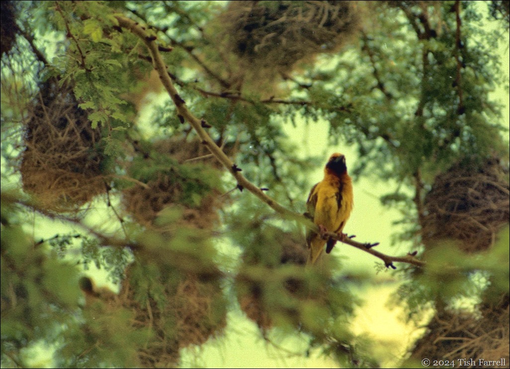
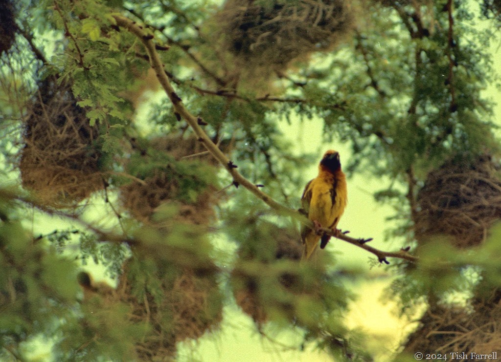
img20241003_19453803 weaver birds and nests

Masked weaver and nests

*

By day, the camp runs other activities. If you opt for the early morning bird walk, a tray of tea and biscuits is brought to your tent at 5.30. At six you set off with Dominic or Michael for an hour or two’s ramble around the camp perimeter. You can find yourself walking among impala and waterbuck while your guide runs off the names of all the birds that may be heard calling from trees and bushes.

If a bird reveals itself, you are told where to look for it, and the characteristics that define it. A morning walk thus can yield grey back fiscal shrikes, rattling cisticolas, Ruppell’s starlings (in brilliant violet and turquoise), the shy tchagra, a scarlet chested sunbird, and blue-naped mousebirds. You might also spot fish eagles or hear a golden oriel call or the song of an olive thrush or a robin chat whose repertoire makes me think of an English blackbird. There are 400 species to choose from here.

Later, after breakfast, there is usually a two-hour game drive, but on my third morning there is only me to be entertained. Godfrey says he has arranged for Michael to take me on a longer drive to the hot springs. We can take a picnic lunch.

*

As we set off along the estate’s perimeter road, Michael gives me the background on the Delamere Estate. He tells me there are 10,000 beef cattle on the Soysambu ranch, which adjoins the reserve. The name Soysambu is a Maasai word meaning mottled rock. He tells me, too, that the reserve was set up  by Lord Delamere in 1990 as a means of protecting the lake shore from developers.

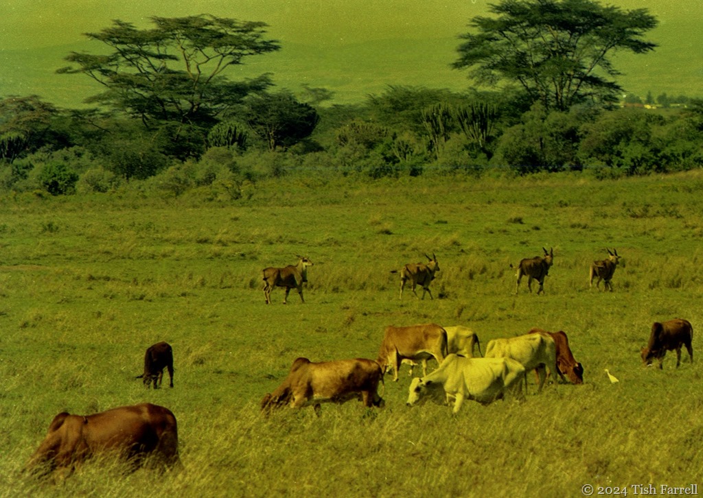
The estate had also included land on the East Rift escarpment behind the camp, but this had been sold off cheaply, and was now settled by some 15,000 people, each family farming 5 acre plots. Most of Delamere’s 200 employees have smallholdings there. But this has caused problems. Game that once lived in the former wilderness has now moved onto the ranch. And so his lordship’s cross-bred cattle also share their pasture with 600 eland, 300 buffalo and 200 zebra. It is literally a bone of contention among big landowners, that they are not allowed to cull the game for food.
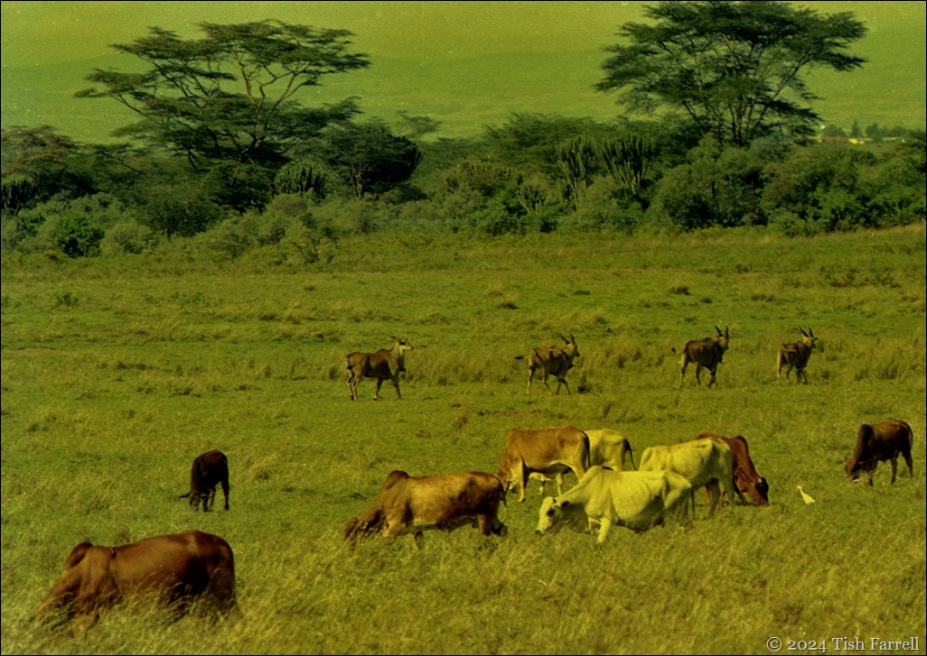
img20241008_12180805 eland and cattle 2

Eland graze with Lord Delamere’s cattle

*

Michael also spots wildlife as he drives: a secretary bird, an augur buzzard, hoopoe, wheatear, Grant’s and Thomson’s gazelle, open-billed storks. There are zebra, giraffe and ostriches. The pink haze of flamingos across the water.

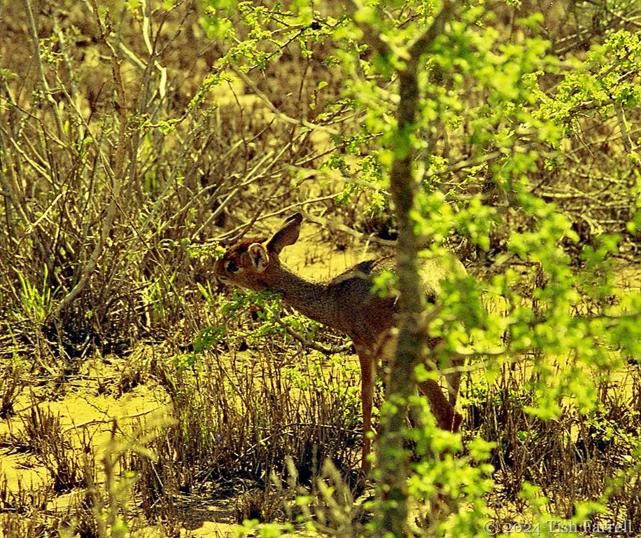
As we head out behind the lake, it looks as if we’ll be lucky with the weather. No rain, but very overcast. In a moment of brightness, as we rattle through thorn scrub, Michael spots a Kirk’s dikdik and I remember he has told me on an early morning walk how these tiny antelopes are fiercely territorial. They create middens where they go to defecate and urinate. While visiting, they scratch up the dung heap so their hooves can deposit their scent and reinforce the boundaries of their domain. It sounds a touch grubby for a creature so daintily pretty, but then that’s my problem.

img014dikdik

Kirk’s dikdik – not much bigger than a hare

*

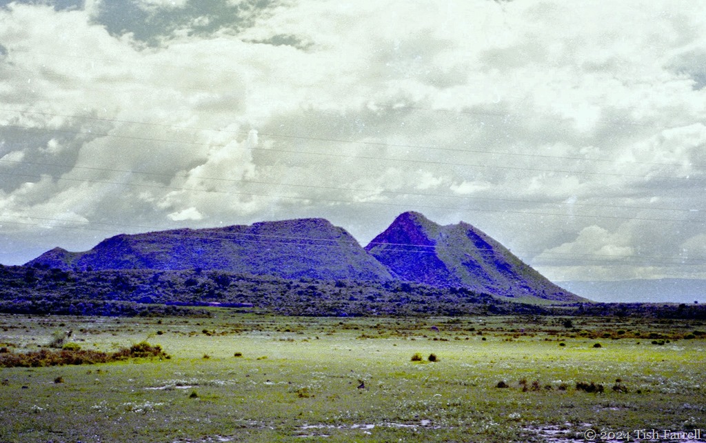
We drive past the Sleeping Warrior. The skeins of power lines running by take me by surprise. Electricity is often in short supply. That year there are daily three hour cuts in Nairobi, and most rural areas anyway have little or no access to the grid. Michael tells me the lines import electricity from Uganda.
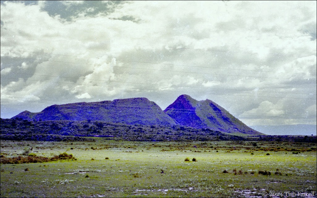
img20241001_19534122 lord delamere's nose 97

*

Then suddenly, as if fallen in a time slip, we are among the Maasai. I have noticed a settlement, an ‘enkang with its mud domed dwellings. Now an elder in red kilt and blanket passes by us with a herd of goats. There is no obvious exchange. I see the dark bare legs, ebony hewn; not a pinch of flesh.

When we roll up at the hot springs on the southern lake edge, Maasai women are finishing up their washing in the hot water. Children, fully clad, are whooping and wallowing in the shallows. All soon retreat as if they have never been. When I look back I see the elder standing on a ridge with his goats, the red shuka against a stormy sky. I do not attempt to photograph any of this.  This is not my place.
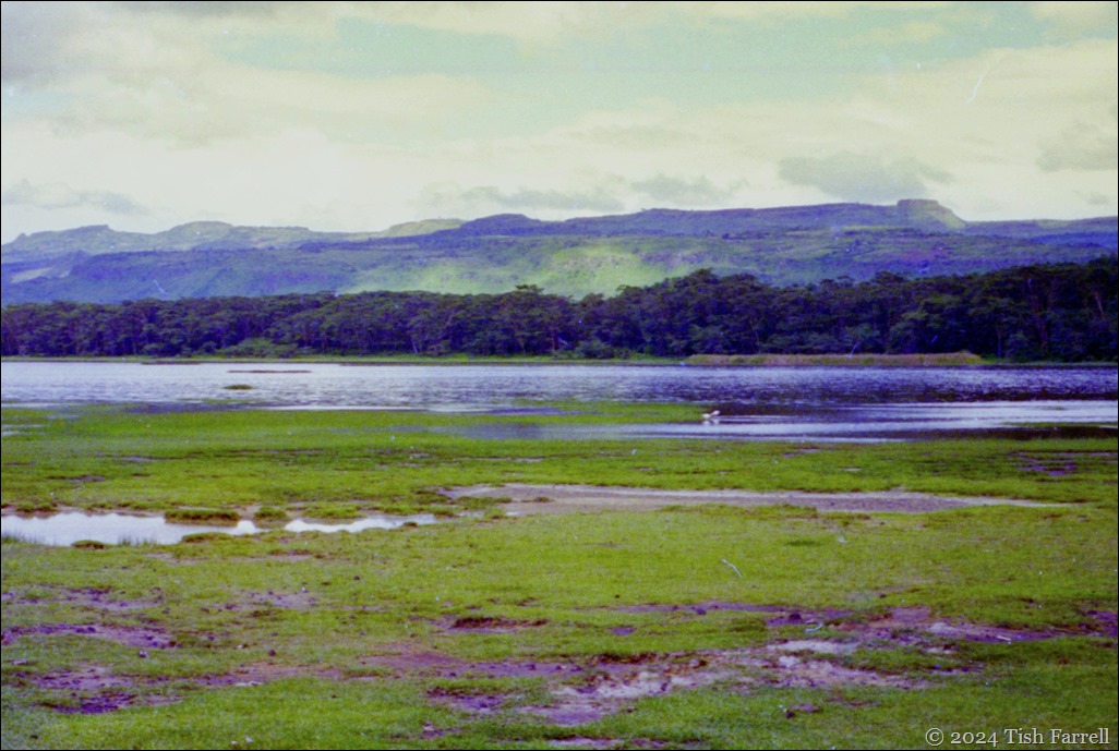
img20241001_19542210ed

The Eastern Rift from the hot springs in Lake Elmenteita

*

We sit under thorn trees and chat over the packed lunch. At some point the subject of Princess Diana’s death back in August crops up. I say am touched at how sorrowful Kenyans were, how they queued to sign the condolence book at the British High Commission, and how Graham’s colleagues at the research institute came to his office to offer their condolences. Michael tells me that his wife’s prized possession was a  video of the royal wedding, although the only place they could play it was at the pub in their home village. You can guess the name of our daughter, he says.

I ask him where he worked before joined the team at Delamere Camp. He tells me that soon after he graduated with a degree in wildlife management, he was posted, as deputy wildlife district officer, to the remote quarter of mainland Lamu, in north-east Kenya. Somali cross-border bandit country, in other words. There, his job was to coordinate anti-elephant poaching operations, using local police or military, whoever he could rope in, sometimes using helicopters. He said that whenever he went into the bush, he never knew if he was coming back. The gangs were often 20-30 men strong, and with an official policy of shoot to kill, the stakes were high.

I am shocked as I listen to this account, told with such detachment: that an ecologist should be expected to do this kind of work. But Michael simply says he is finding Elmenteita much more to his liking, and especially as his wife and family are not far away. In the quiet understatement, I sense a man who has seen too much.

I feel uncomfortable too – some people don’t know they are born, do they, with all their sheltered good fortune. That would be me of course. Though I am learning. Kenya’s gracious people never stop teaching me. They teach me even now as I retrace my steps down the years.

*
img20241004_11051850 east escarpment near camp

copyright 2024 Tish Farrell
Looking Back: African Dawn

img20241008_12561103dawn flamingos ed

These last few weeks I’ve been immersed in a major displacement activity – both actually and metaphorically. While trying to find a good place to store Graham’s newish photo scanner, I decided I’d quite like to use it and revisit our old Africa negatives.

The Epson, however, was unknown territory. I’d done my original scanning using technology long since deceased, and I wasn’t altogether happy with the results, or with my editing. So first stop meant downloading software and all the nonsense that goes with it (compatibility/senescence issues – not mine – since both scanner and PC are only a few years old as far as their owners are concerned, but they are obviously superannuated in techno-ageist terms).

After several efforts, and two different apps later, I’m finally set to go, but then there is the issue of dealing with negatives that are twenty and thirty years old, were processed in Africa, have thus moved continents, survived several house moves, and not been stored very carefully. My original prints are in far better condition, some astonishingly sharp, but they are stuck in albums. So yes, as I said, a major displacement activity.

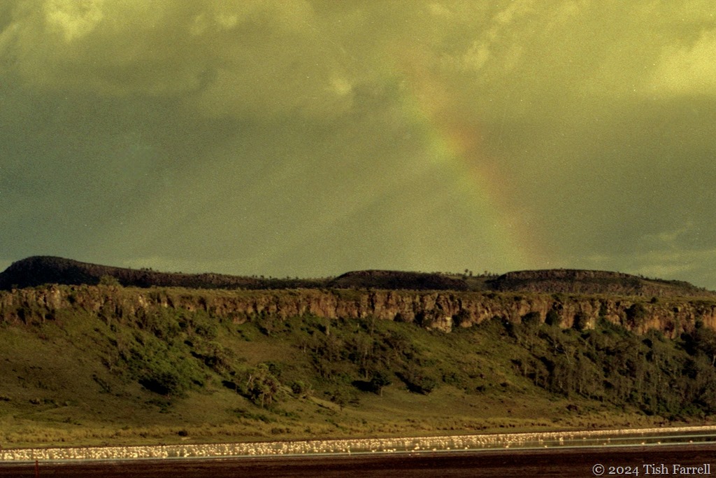
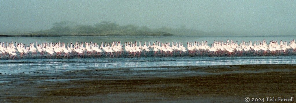
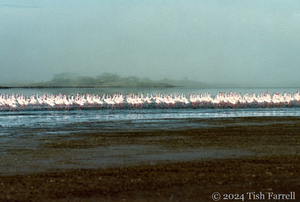
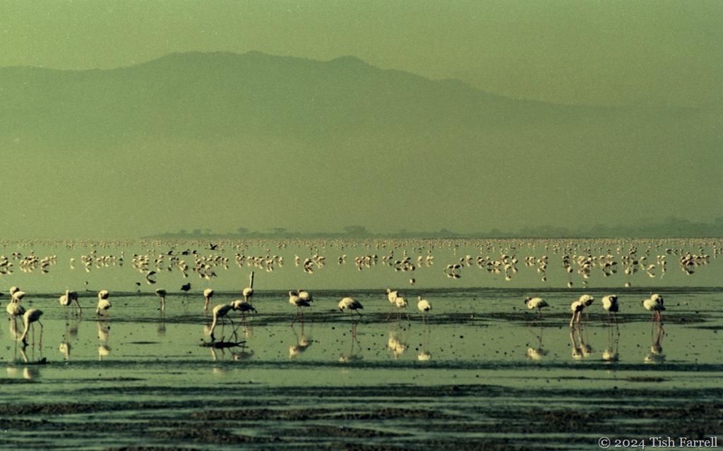
Yet it’s serious time travelling too, and every now and then a frame emerges and I am transported. The image may have lost clarity, but I’m there at first light, on the shores of Lake Elmenteita in Kenya’s Rift Valley.

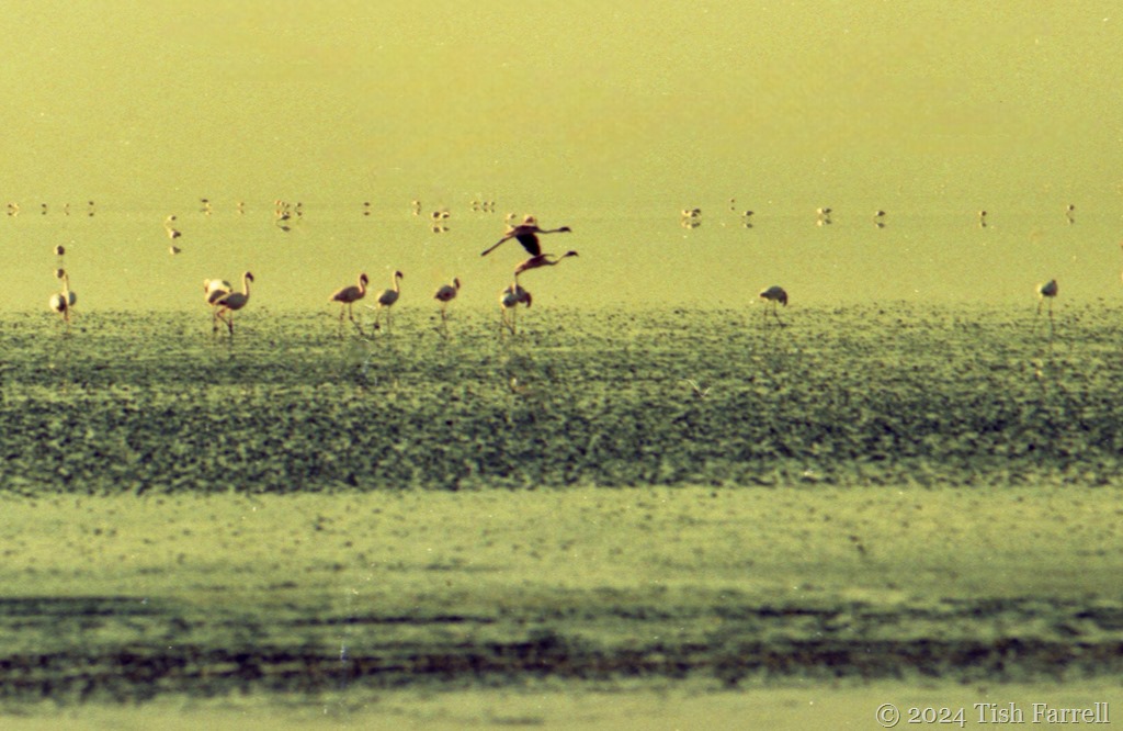
The greater and lesser flamingos that inhabit this shallow soda lake never stop honking and grunting. It’s a seamless shifting soundscape that you hear all night if you are camping nearby. The loudness ebbs and flows, depending on where the flocks are feeding, but always strangely amplified across the shallow waters. At dawn though, you forgive the din, just for the sight of them through the mist. In the distance they look like scattered rose petals, and since the air is frosty at this hour, this sparks thoughts of celebratory champagne and ice bowls of strawberry sorbet…

img20241004_11291465 flamingo dawn

*

But let’s not get too carried away. If you venture out on the lake mud for a better view, beware. It’s slithery with flamingo guano, and the acrid smell of it, along with the soda, stings the nose, throat and eyes.
And yet…and yet these vistas have to be the most entrancing of all the many scenes in my memory archives.
*

When we lived in Nairobi during the 1990s we came here when we needed a break from city living, staying at Soysambu tented camp. The drive up the Great Rift had its own thrills, both the astonishing views of the Rift volcanoes, and the hair-rising truck driving along the way.  It was always a relief to turn off the tarmac and bump along dirt tracks to the camp. img20241003_14405356ed

*

The lake and its surrounding land is mostly in the hands of the Delamere family. From the late 19th century to the 1930s, the third baron Delamere was both an agricultural pioneer and prime mover in the shaping of the then British colony. Among other land holdings, he acquired 46,000 acres around the lake in the early 1900s. At some stage there were attempts to grow wheat there, but the soil was too shallow and the land reverted to bush. In our day, the fifth Lord Delamere, managed the place as a private game reserve (more recently the Soysambu Conservancy) and cattle ranch.
img20241005_19451737 flamingo dawn

*

The camp back then was sheltered by fever trees, sixteen tents each with its view of the lake and the remnant volcanic cone, known by local Maasai as the Elngiragata Olmorani, the Sleeping Warrior.  There was always something to look at. The light on the lake changed every second and there were 400 species of bird to watch out for not least the campsite superb starlings, weaver birds, orioles, babblers, herons and storks – and then you might look up to see impala slip noiselessly through the trees or waterbuck out on the flood plain…

It could all have been a dream of course.

img20241005_19075173 Sleeping Warrior

img20241008_12580861ed

*

Lens-Artists: Looking back  This week Sofia wants to see the things and places we treasure and would like to revisit.

img20241008_12561103dawn flamingos ed header

Dreaming Places ~ From Shropshire To Lamu And All In A Day

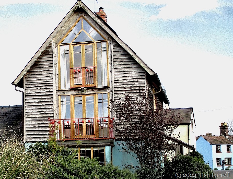
balcony 2

One of Bishop’s Castle’s pioneering eco-homes

*

Today, as July winds down, we have a summer’s day. Only the third in a month of coolness and cloud. Sunlight floods the house front. Warmth even. No trace of the wind that has dogged us for much of the year. Stillness then. The soundscape, resonant, a part-song of church bells, bee hum and pigeon chorale.

There’s a sense of bliss.

And where does my mind go?

Why, off to Kenya’s Indian Ocean island of Lamu – a trip made decades ago and at Christmas too.

balcony

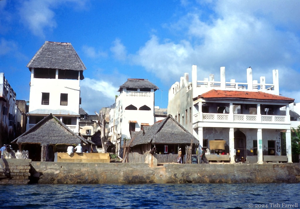
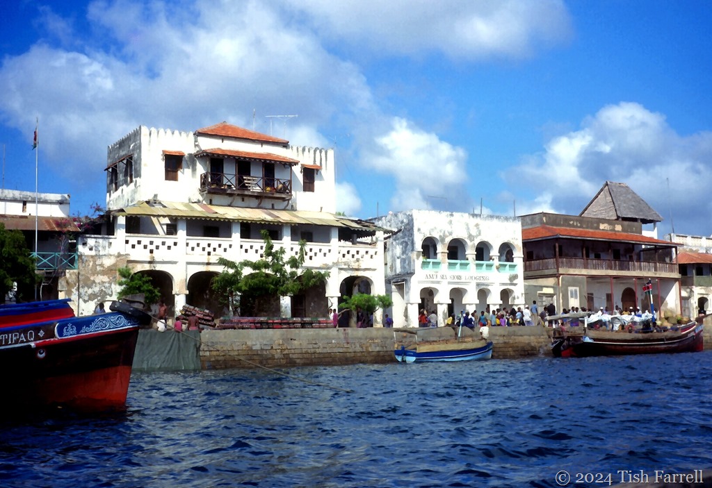
The harbour at Lamu’s Stone Town

*

Perhaps our recent spell of autumn-in-summer weather is seasonally disorienting me, although in mitigation, December in Lamu is the hot season, their summer; though rather hotter and steamier than ours.

But in the full-on Shropshire sunshine, the mind plays tricks. Meanders. Perhaps there’s another trigger to this farflung mental safari.

I soon spot it. Back in the days of the Lamu trip we lived in Nairobi, on one of Lavington’s tree-lined avenues of Jacarandas and flame trees and clipped grass frontages. (Strangely, I discovered later, I have ancestors named Lavington).

At nearly 6,000 feet, the climate there is mostly benign – a subtropical highland climate. In June and July the temperatures might drop as low as 48F (9C), and in December to March reach the upper 70s and low 80s F. The finest days there always had us thinking of perfect English summers (big skies and heat-hazy lawns), the sort from village fetes and school sports days.

Summers back then seemed, well, more summery.

And then amid my mind’s eye ramble arrives the Lens-Artists’ theme for the week: balconies. And so, by winding paths, I come to Lamu.

balcony 4

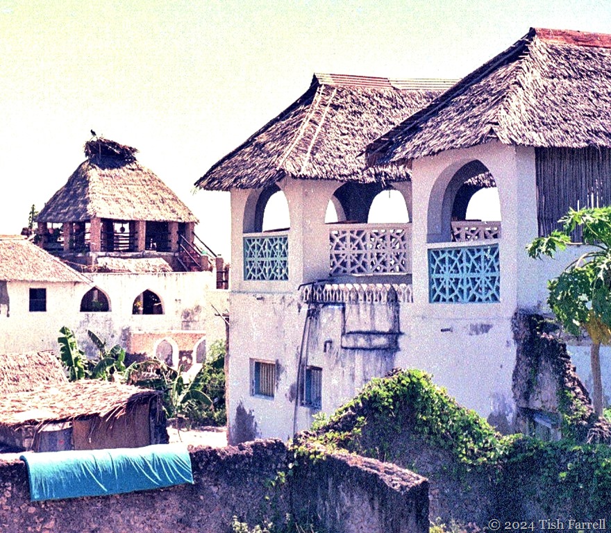
Stone Town – it is now a World Heritage Site. The surviving 18th century merchants’ homes, finely built of coral rag, are evidence of a once thriving city state, one of several Swahili towns and cities along the East African seaboard, stretching from Somalia to Mozambique. These settlements have origins back in the 8th and 9th centuries – the people who lived in them, their language, their culture born (literally) from a thousand and more years’ congress between Arab traders and indigenous African communities.

balcony 3a

The goods once traded out – ivory, leopard skins, tortoise shell, gold, mangrove poles (boriti) and slaves. The goods traded in – silks, porcelain, fine carved treasure chests, brass ware, jewellery and dates. In short this is Sinbad territory (Sendibada in KiSwahili stories). He doubtless plied the seas off East Africa; out from the Persian Gulf, the monsoon kaskazi bearing him south; and, after many hair-raising encounters, the kusi winds blowing him home again to Basra.

I’ve written more about this at Quayside Lamu. And about the Swahili HERE.

But now for more balconies. Those perfect places for dreaming. For today, bathed in unaccustomed warmth, I surely am dreaming.

balcony 2

balcony 5

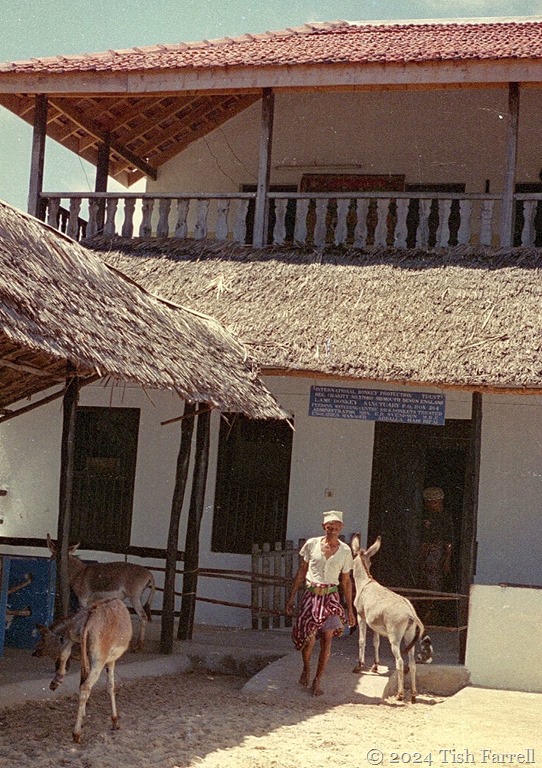
Lamu donkey sanctuary. Donkeys are a key mode of transport on the island

*

balcony 7

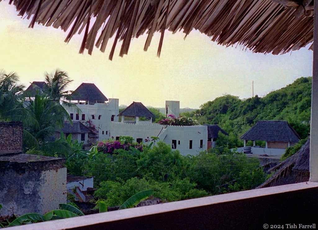
Sundowner look-out over Shela village, Lamu

*

balcony 6

Lens-Artists: Balconies This week PR at Flights of the Soul sets the theme. Follow the link for a fine gallery of balconies.

Looking Back ~ Moving Forward: From The Kenya Archive

giraffe2

I’m not sure that we’ll ever quite get over leaving Kenya, though it was never our homeland and, by 2000, when we left, our business there was done. But we had lived in Nairobi for seven years, seen many changes as Kenya moved uneasily from one-party rule towards multi-partyism: one externally imposed and alien structure to be replaced by another alien structure, this for a nation of many diverse communities that for centuries had each their own forms of traditional law and order, far closer, I might argue, to any form of democracy that the nations of the technocratic North might think they have invented or progressed towards.

And the reason we were there at all was because Graham (as plant pathologist and food storage specialist) was working on a British Government funded crop protection  project, working alongside Kenyan scientists and subsistence farmers in a bid to build in-the-field resilience against crop pests and diseases.

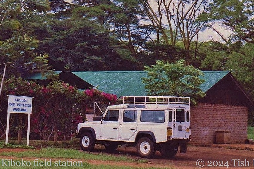
The project base was at the  Kenya Agricultural Research Institute (KARI) in Nairobi, but in the early days we did much travelling on the Mombasa highway, going back and forth between the capital and KARI’s Kiboko field station in Ukambani. Sometimes we drove the full 300 odd miles to Mombasa, sometimes less far to the Taita Hills. Mostly, though, it was the hundred mile trip that took us from the Nairobi plains at nearly 6,000 feet, down to the semi-arid lowland just north of Makindu and the Tsavo National Parks.

002

*

Ukambani, homeland of Akamba farmers and cattle keepers, is red earth, thorn-scrub country. You start to see mighty baobabs growing here too. They rise up in a natural parkland setting that you feel you must have imagined. Giant hornbills stalk around the verges. The farther vistas, heat-hazy towards the Yatta Plateau, may be dotted red from the shukas of Maasai as they fan out with their herds across the sparse grassland. You may also spot antelope and giraffe here too. For in Kenya it is said there is more wild game outside the huge national parks than inside them. Sometimes the great trucks that plied the highway back then would collide with a giraffe, thereby providing an unexpected meat meal for nearby farming families.

Kiboko ed Mombasa highway north of Kiboko

Mombasa highway at Kiboko looking north – Nairobi-bound

*

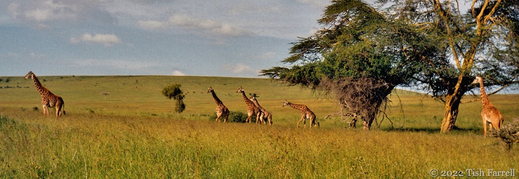
The giraffe in the header photo were spotted on the Kapiti Plains, south of Nairobi. We used to see ostrich, impala and gazelle on the roadside here too. But the sight of several giraffe moving across the plains, the peculiar gait that has them stepping in some shared slow rhythm all their own stopped the heart.

We were so very lucky to see such sights. Even now there’s a catch in my breath.

*

#SquaresRenew

giraffe 4 header

Once heard…

Marsh Pride male 1 ed

*

…never quite forgotten.

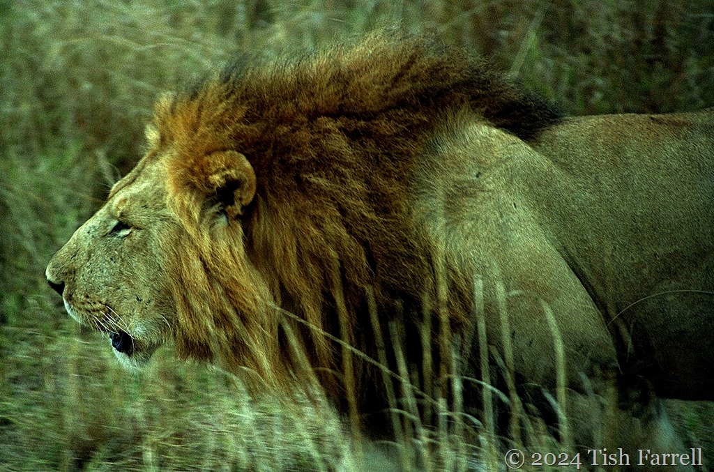
Thrilling and chilling both: a wild lion, in broad daylight, proclaiming his eminence. And not a full-throated Metro-Goldwyn-Mayer lion-roar (there’s no big show of fearsome canines); more a weaponized grunt that carries across the Mara grassland and rebounds against my sternum. And then in my skull.

It takes some moments to re-ground, and assure the nervous system we’re not in danger.  We’re sitting in a big safari truck. The lion does not even look at us, nor appear to register our presence.  We pass by slowly. He parades. Our guide tells us he is the senior male of the Marsh Pride, a group of lions made famous on British TV during the 1990s, when wildlife photographer, Jonathan Scott, documented their movements. This lion, we’re told, is calling to the junior male. Meanwhile the pride’s three lionesses are busy devouring the kill, a hartebeast. They don’t see us either.

But still that resonating roar.

Throwing the voice is part of a male lion’s M.O. A spot of leonine ventriloquy if you like. To make themselves sound bigger and deadlier, they may also choose a dried up river bed for some night-time roaring. The dirt bank of a donga provides a  ‘sounding board’ to amplify the roar which may carry for several miles. Obviously the aim is to let other males know exactly what they’re up against should they dare to infringe territorial bounds.

We drive away, feeling somehow changed. Very small perhaps. It’s August 1999, the last of our seven years living in Kenya. When we return to England for good, what will we make of such days? Did they really happen? Sometimes it’s hard to be sure.

marsh pride senior male

*

To hear that lion call for yourself, there’s a brief clip here:

https://www.youtube.com/watch?v=1e0_4dwF9A4

Lens-Artists: Sound   Donna at Wind Kisses choses sound for this week’s theme – however you care to interpret it. Please pay her a visit.