
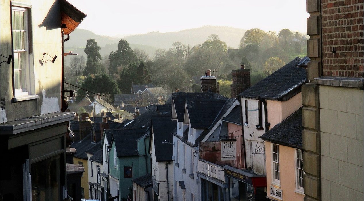
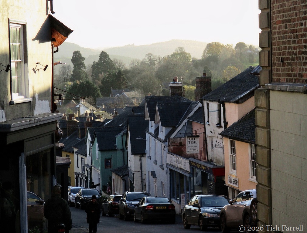
To see out of our town, you need to climb. Then climb and climb again. The place was built on a steep incline below an even sharper eminence, upon which there once towered an impressive castle. Down below are flood plains girdled by hills, among them, on our easterly flank, the seven-mile ridge of the Long Mynd. Then looking north to west, scanning the England-Wales borderland are the Stiperstones, Heath Mynd, Corndon, Lan Fawr, Roundton and Todleth to name a few.
If you toil up the High Street to the Town Hall (and it is a trudge), you can stop just here to catch your breath, then look back to glimpse, over aging rooftops, the southerly hills. They have names like Colebatch and Sunny and Clunton.
Beyond the Town Hall there’s respite, and a flat stretch along Welsh Street, but here you are enclosed once more by houses. If you want a good view at the top of the town you must take the hollow way up Wintles hill.
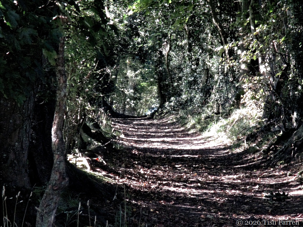
This green lane rises steeply too. If you take it too fast it can have you conjuring the ghosts of Welsh drovers, those tough men who for centuries brought their sheep and cattle herds out of Wales, taking byways such as these on the long, slow march to the markets of England’s West Midlands. The well known routes were way marked with Scots pines, their presence signalling safe overnight shelter for men and beasts; the presence of a good inn and good water for the herds. There are still remnant pine spinneys at points around the town and across old drovers’ territory.
*
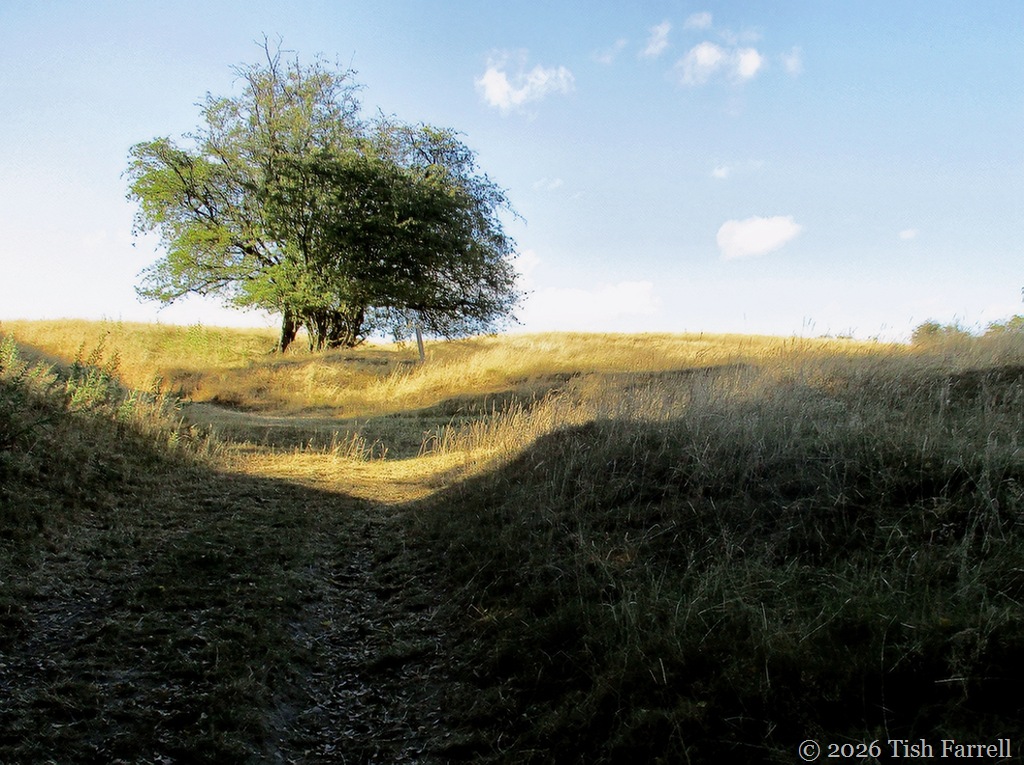
At the top of the green lane there’s a field gate and stile. When we came up here a fortnight ago, we had to sit down before facing the next climb. It was a hot afternoon, which was one excuse, but mostly it was down to our Wintles legs being out of training. We’d not been up here since April.
*
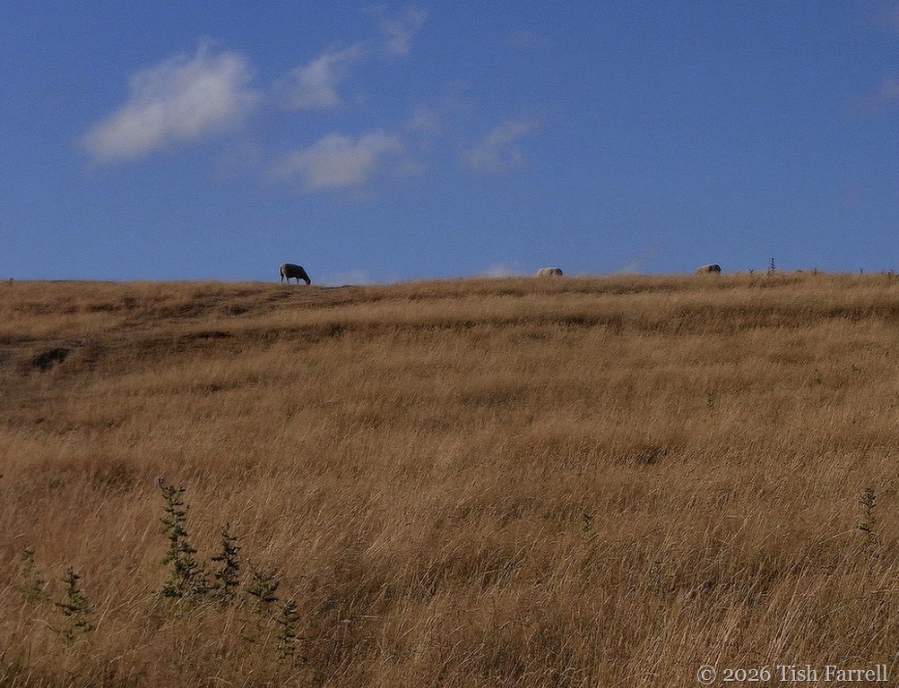
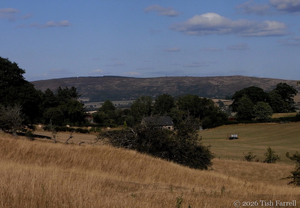
In places, the hill is so steep, I find myself resorting to all fours. But it’s a good excuse to stop and take photos, first of the Long Mynd…
…then of the town, scanning it for landmarks…spotting the parish church with the sun on its tower…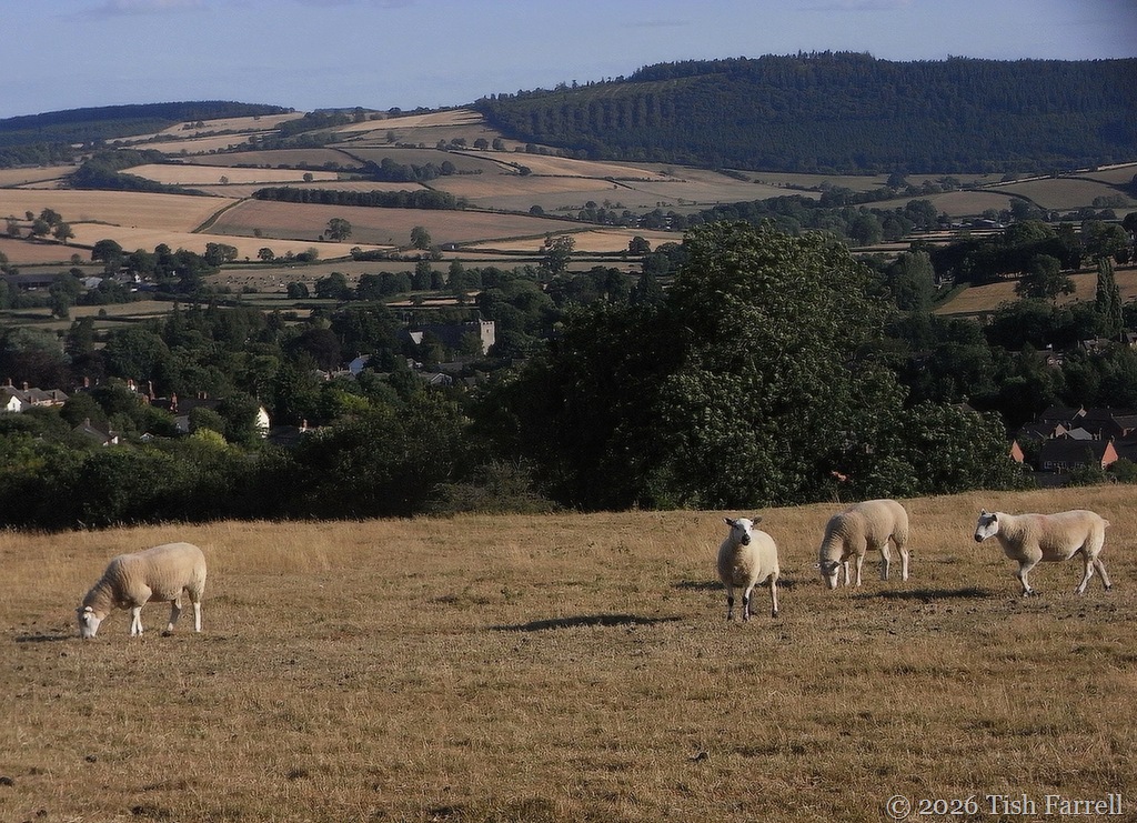
But this isn’t the reason I come up here.
This is:
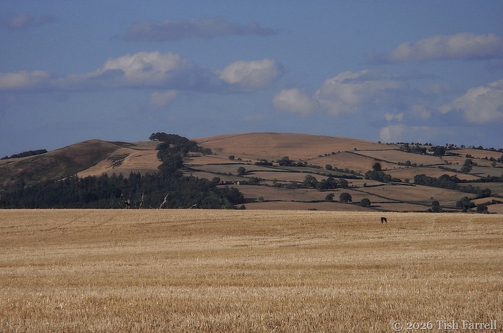
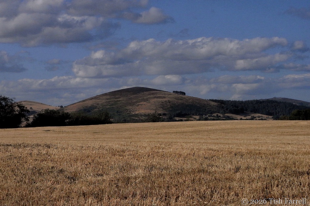
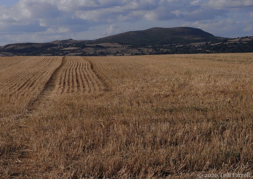
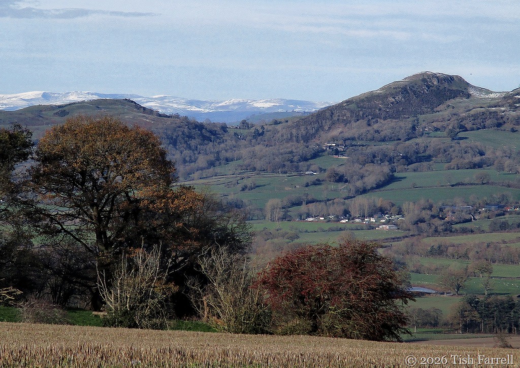
…the hilltop field that overlooks the Welsh borderland.
And never mind the climb, this sight always takes my breath away – the beauty of these uplands.
And yet this year the land lies parched, the wheat cut two months early, and with talk in different parts of England of disastrous barley and oats yields. Which, of course, means reduced income for many over-stretched farmers, plus less locally produced food. On the other hand, some farmers (e.g. in the Cotswolds) have, despite the drought, produced excellent wheat crops with full bodied grains. Much depends on varieties grown. Other farmers say the hot weather has meant no need to treat crops for yellow rust, the bane of wheat growers, and that this has been a welcome saving.
But then we look at the state of the grass and think there’s livestock to feed. What about that? Many smaller farms, especially in Shropshire are medium size and mixed: i.e. arable and dairy and/or livestock rearing. The marginal land of the upland farms is anyway only suitable for rearing sheep. And while the sheep on Wintles hill look content enough, some UK farmers say their cattle are already eating their stores of winter forage. Worrying times, then, for some.
*
The baked grasslands have me thinking of another life, and another land we lived in for seven years. In Kenya rain comes in two seasons: the short rains October to December, and the long rains March to May, which adds up to six month stretches without rain in some locations. I wonder how we would cope with this weather regime.
In areas like lowland Ukambani on the semi-arid plains south of Nairobi (Makueni County) even these rains are often poor or absent. And yet the farming cycle continues. Between 75-80% of the nation’s food is produced by women smallholders, and in a country where only 15% of the land is suitable for agriculture. This makes me think too. I remember reading of a young Akamba farmer whose fruit trees were flourishing in rainless times back in the early nineties. Not only had he planted in them in deep holes (a common local method for efficient hand-watering) but he had mulched the roots with layers of the volcanic clinker that lay about his fields. The morning dew, he said, percolated through the dry rubble.
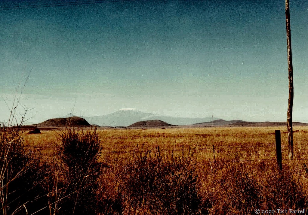
Dry season pasture in semi-arid Makueni County (and an over-the-Rift view of Kilimanjaro on the Tanzanian border
*
There are ways and means to deal with harsh weather events. There are certainly practises that have been forgotten when it comes to land and stock management. In the Welsh borderlands, for instance, it was usual to overwinter stock, and especially horses vital for transport and farm work, on gorse. This sprawling shrubby plant grows rampantly across the UK. If we think of it at all now, we probably consider it a weed, albeit with striking yellow blossom loved by bees. In the past it was also sown as part of crop rotation systems to fix nitrogen. The plant itself has high protein content, and an acre of crushed vegetation was said to keep six horses fed for four months. Also, gorse flowers all year, sweet-smelling blossom that horses like to browse.
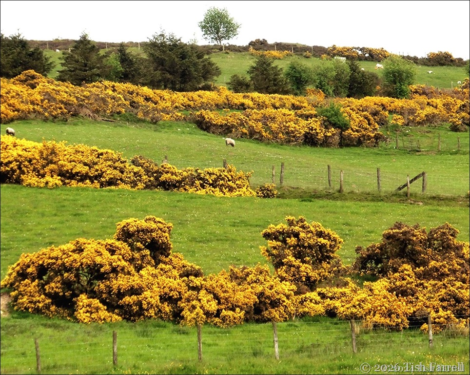
Gorse meadows below the Stiperstones
*
Evergreen holly was another winter foodstuff, and in the past, farmers maintained sturdy holly hedges along their field boundaries. Good as windbreaks too.
It seems we need to relearn the land: understand the effects of how we’ve treated it since the last world wars; think about the water table and aquifers and water course management. We may need to look back further still. There were times, from at least the Middle Ages, when water courses were managed in order to flood fields at winter’s end, keep off the frost and so produce early spring grass crops. There were a range of methods, from simple damming, to the management of engineered irrigation channels, also used for watering grass in dry periods, their operation overseen by local experts known as drowners. The deposits of river silt also fed the land.
For anyone who wants to know about Water Meadows, go HERE. It’s a fascinating technology.
And now this post has truly gone over the top. Here in Bishop’s Castle we’re in for another 30+ degree C day. For anyone who is presently overheating, perhaps some cooling views from Wintles top would be welcome:
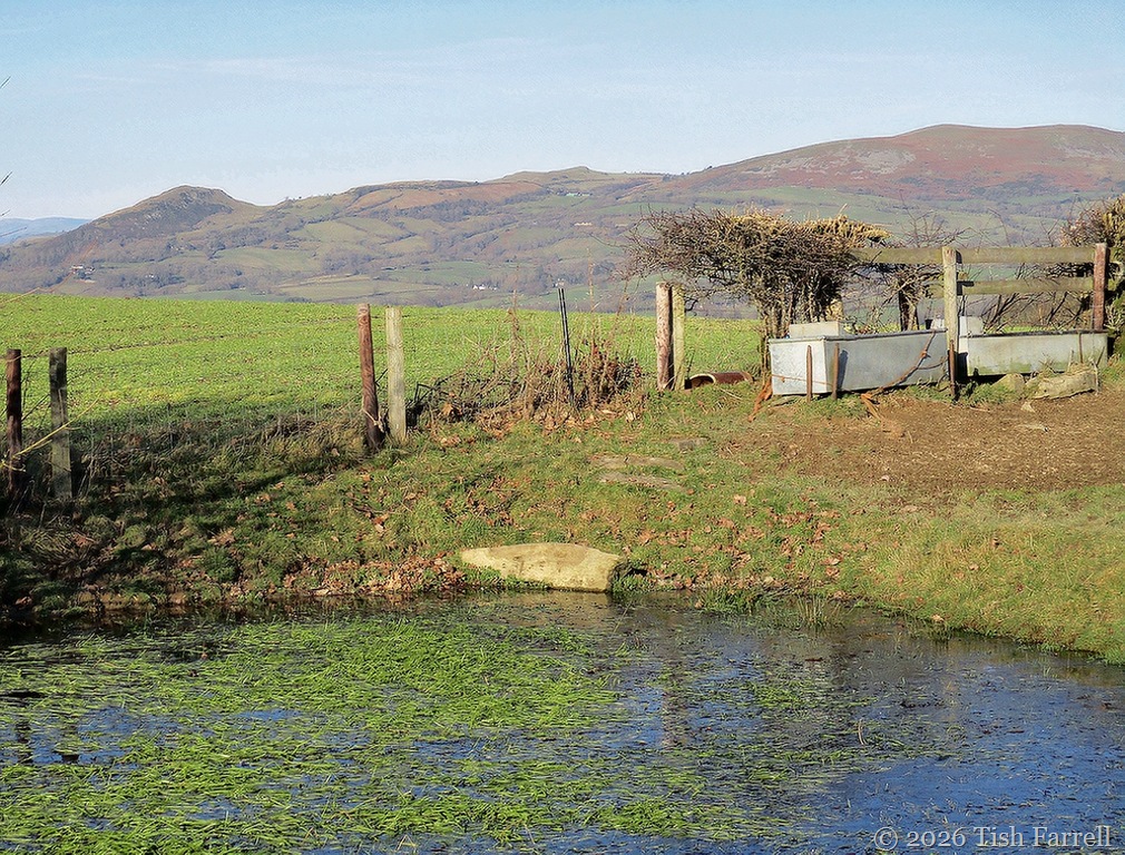
Roundton Hill from the dewpond, another piece of age-old water management.
*
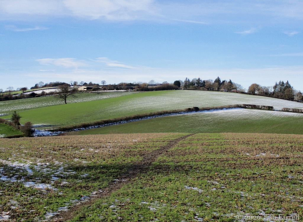
A popular footpath over the top of Wintles Hill
*
Copyright 2026 Tish Farrell
Lens-Artists: Over the top – this week with Egidio setting the theme.
