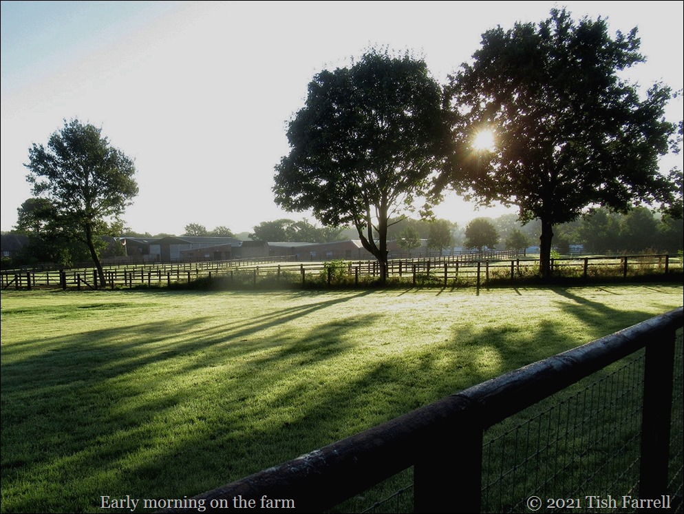
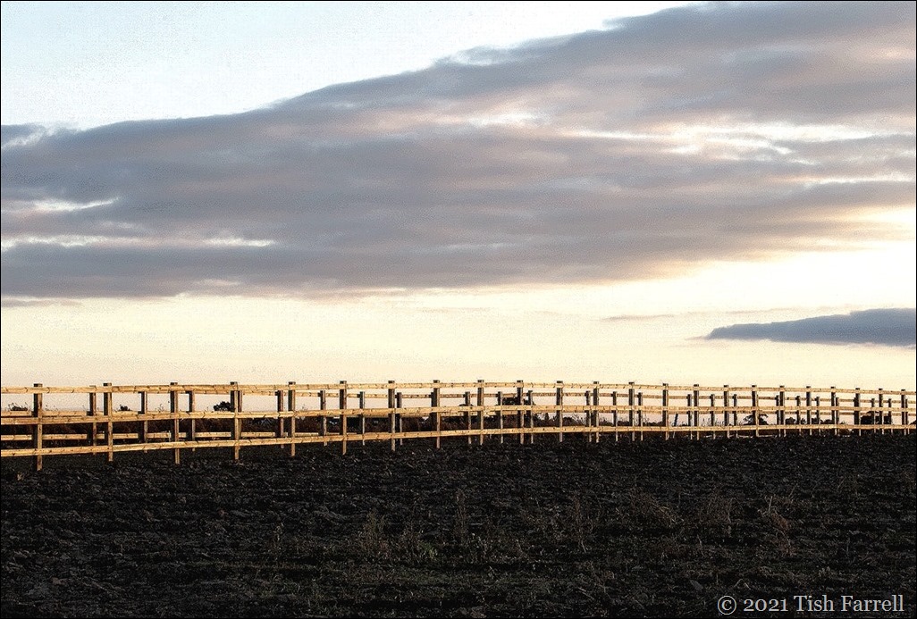
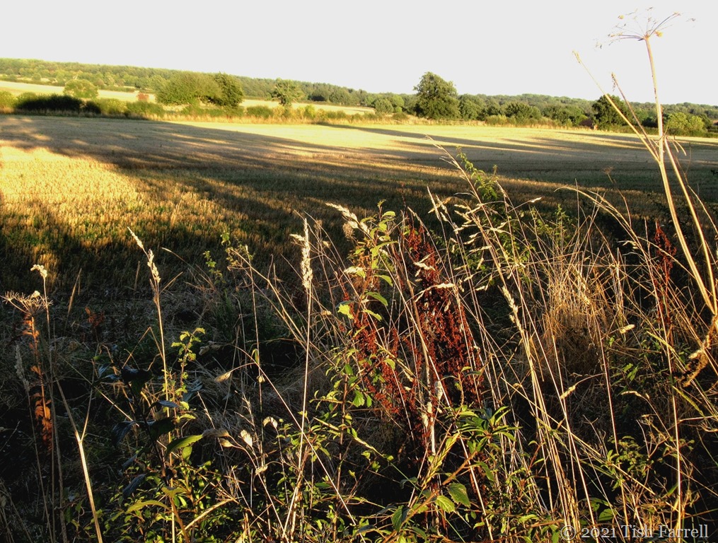
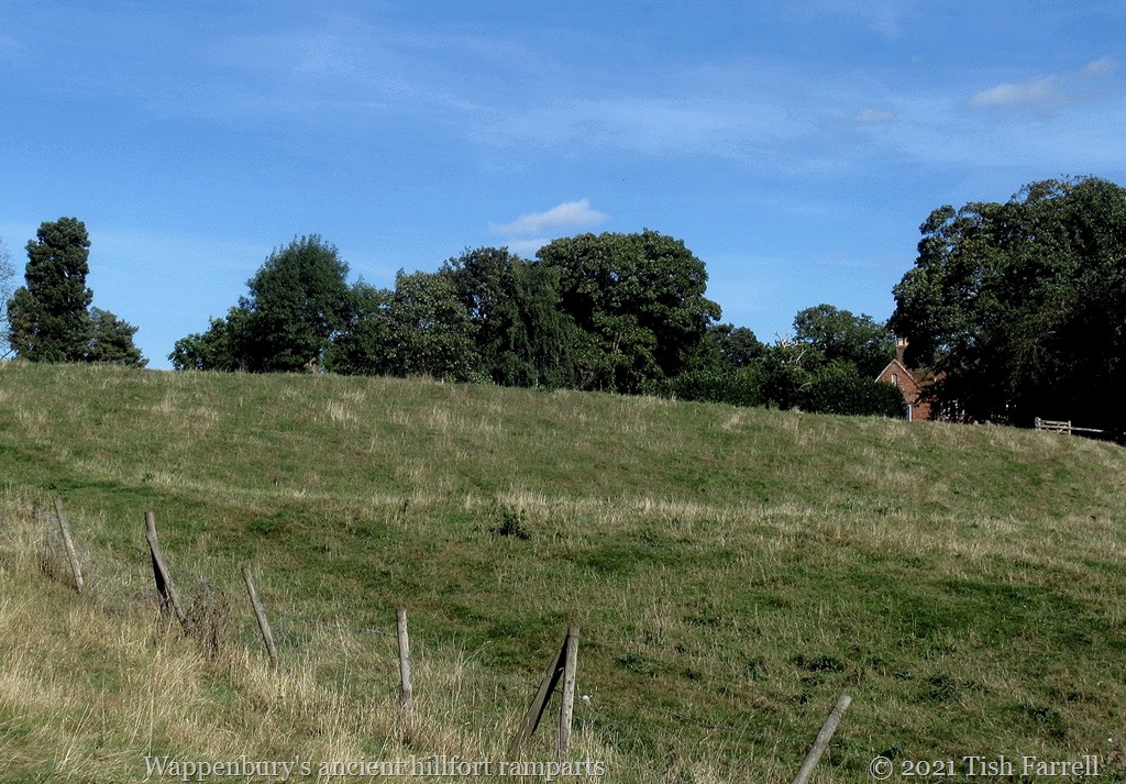
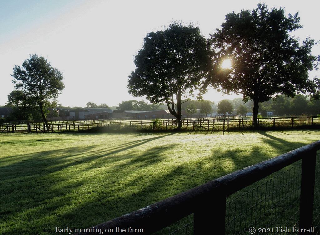
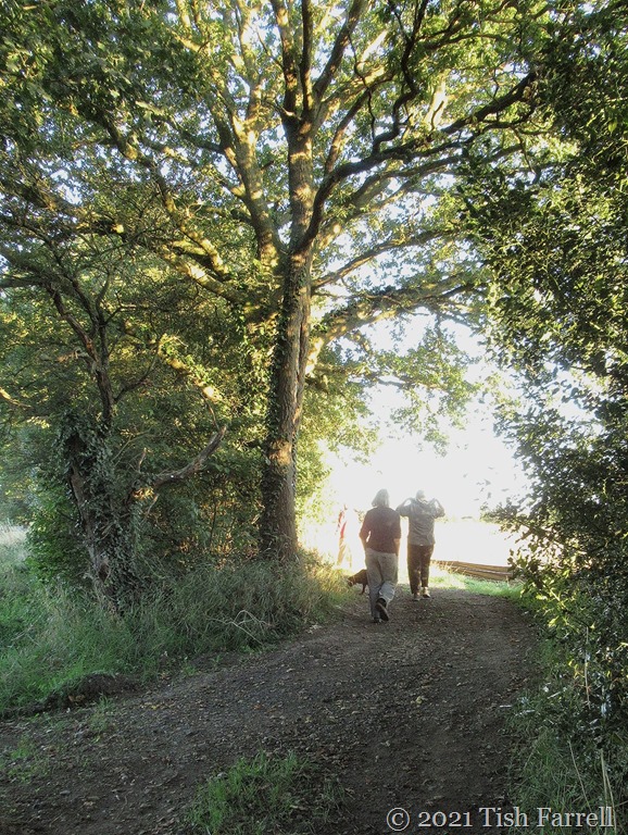
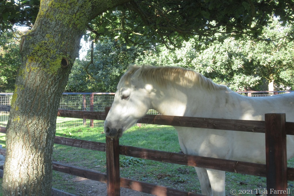
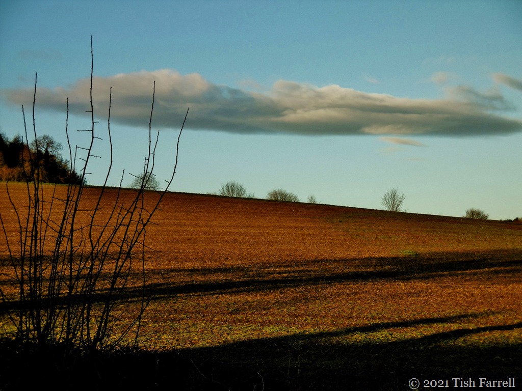
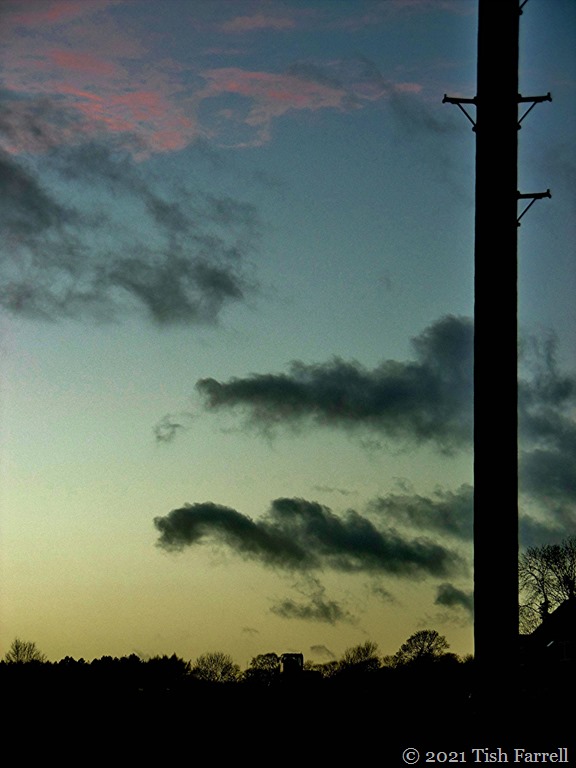
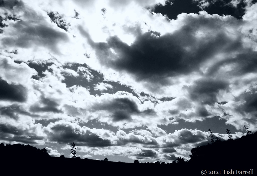
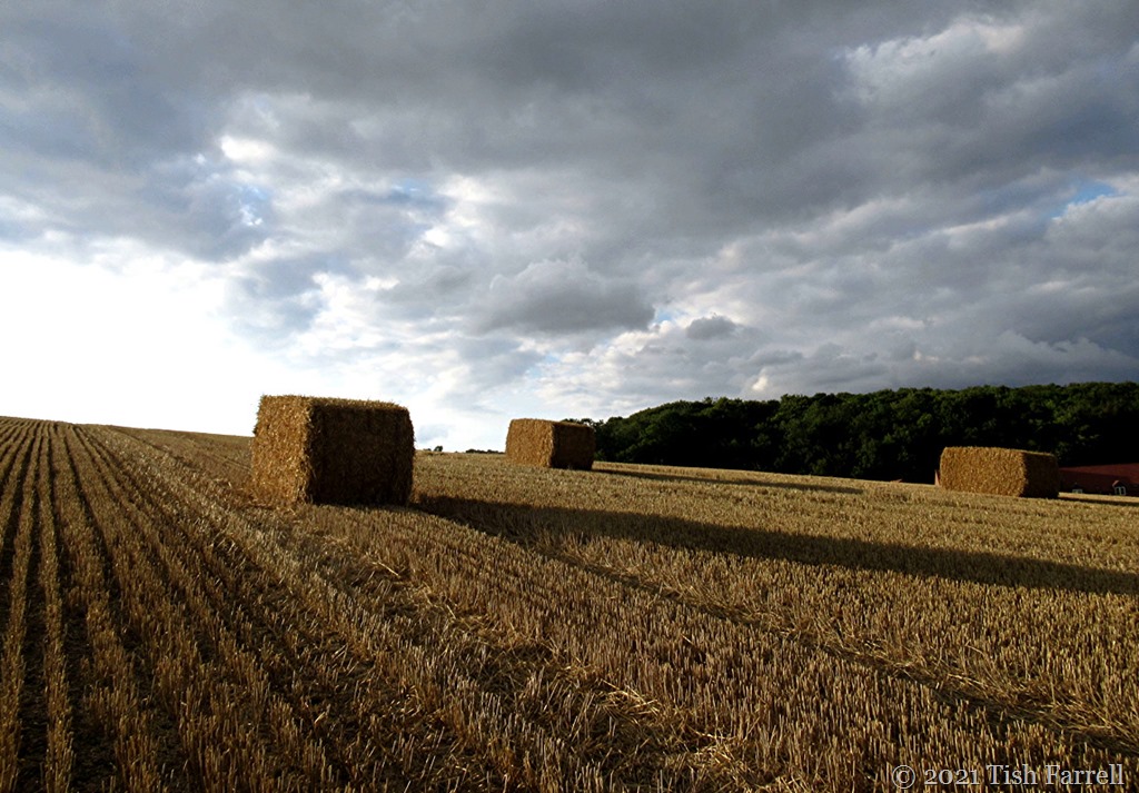
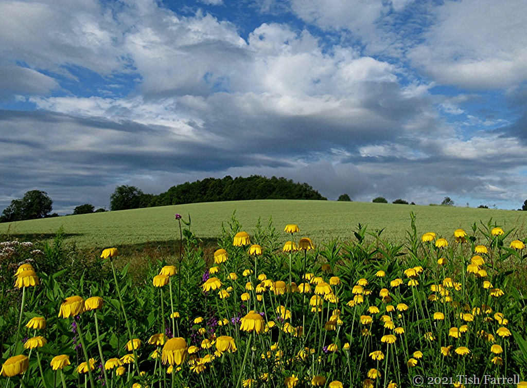
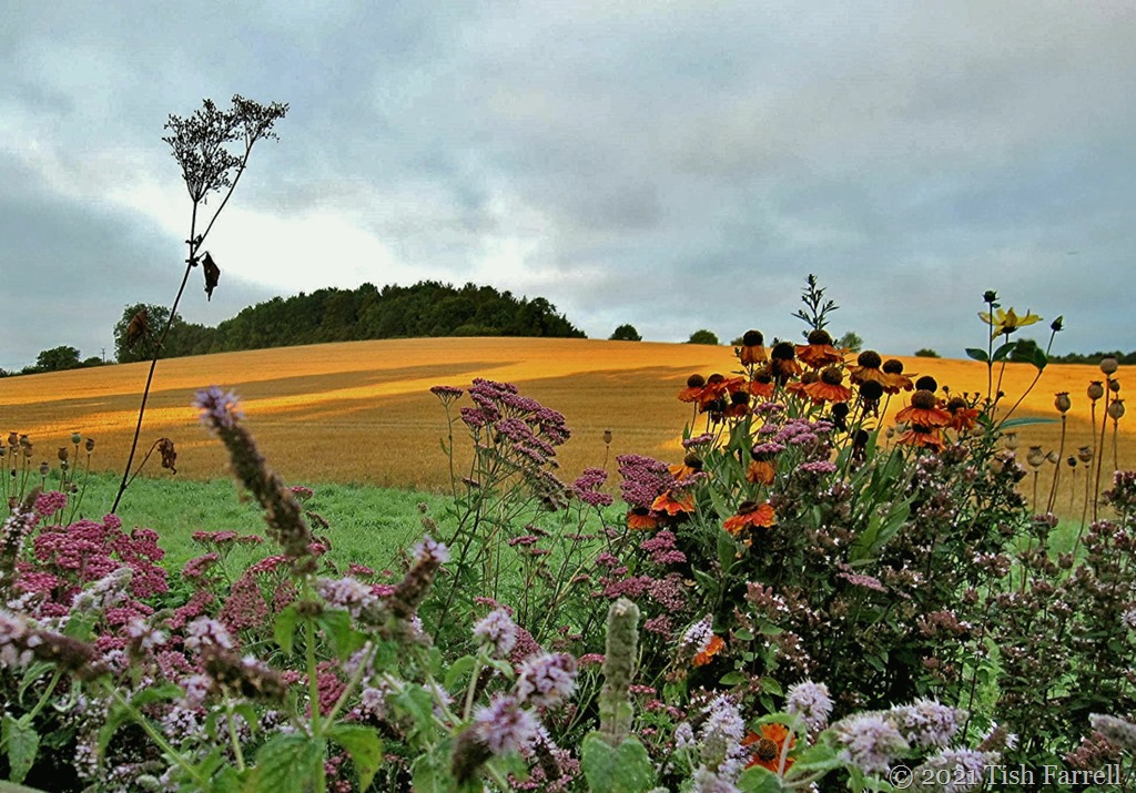
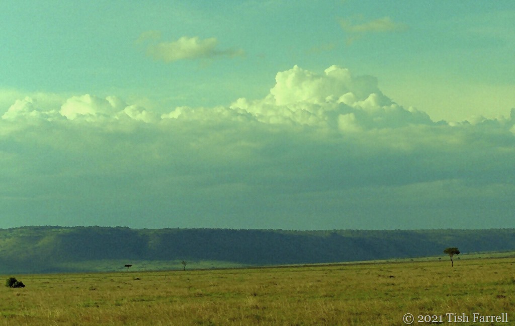
Of itself the field behind our house (Townsend Meadow) is not very interesting. It is simply a farm field, much subjected to agrochemicals in order to produce year on year wheat, or rape, or oats, or field beans or barley. On days when the light is flat it is plain dull. Most of the time it is the activity above it that catches my eye – cloud movements, and the odd effects created by a false horizon which obscures the further horizon of Wenlock Edge where the ground drops off a few hundred feet to the Shropshire Plain below. But there are moments when the quality of light bestows a certain glamour. Somewhat astonishingly the header photo was taken at first light one February morning – a piece of magic all its own since February in England is rarely a scenic month unless one is thinking about carpets of snowdrops.
Here are some more ‘best’ moments – over the garden fence, or from the office skylight.
Lens-Artists: It’s all about light Many thanks to Tina for this week’s theme. Please go and see her very inspirational gallery of light works.
My home county of Shropshire is farming territory and so, with only two main towns (Shrewsbury and Telford), five smaller towns, and very many villages, hamlets and isolated farms, there are far more by-ways than highways. Sometimes the back roads start off well, asphalt sealed and marked on the map, only to deliver you, after much meandering, into a farmyard midden or sheep field. This is a particular feature of the upland tracts of the South Shropshire Hills. Sometimes, too, after you’ve been driving on a narrow lane for several miles, thinking you are well on course, you may find the tarmac sprouting weeds. Sometimes it runs out of asphalt altogether yet clearly progresses as a dirt track that must go somewhere. Other times it may simply devolve to a footpath with retreat the only option.
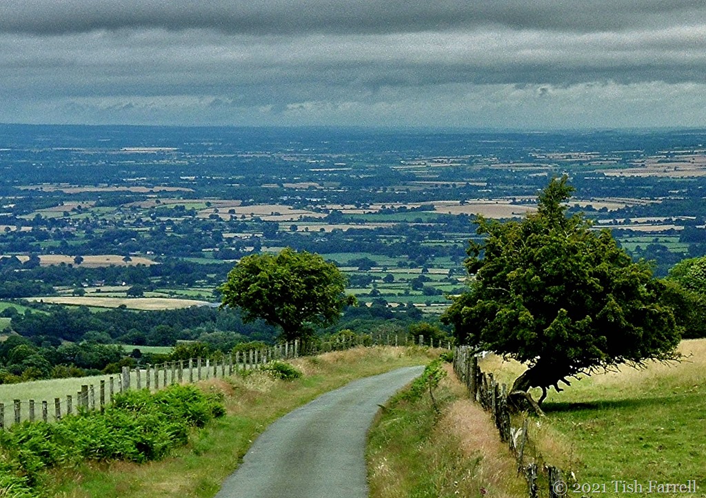
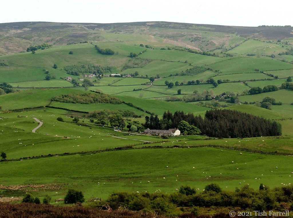
The top photo shows the great divide between the north and south of the county. In the foreground is a hill lane crossing the Long Mynd. The vista beyond is the North Shropshire Plain which in due course runs into the Cheshire Plain, fertile dairy terrain both. By contrast, the hill country is very much about sheep.
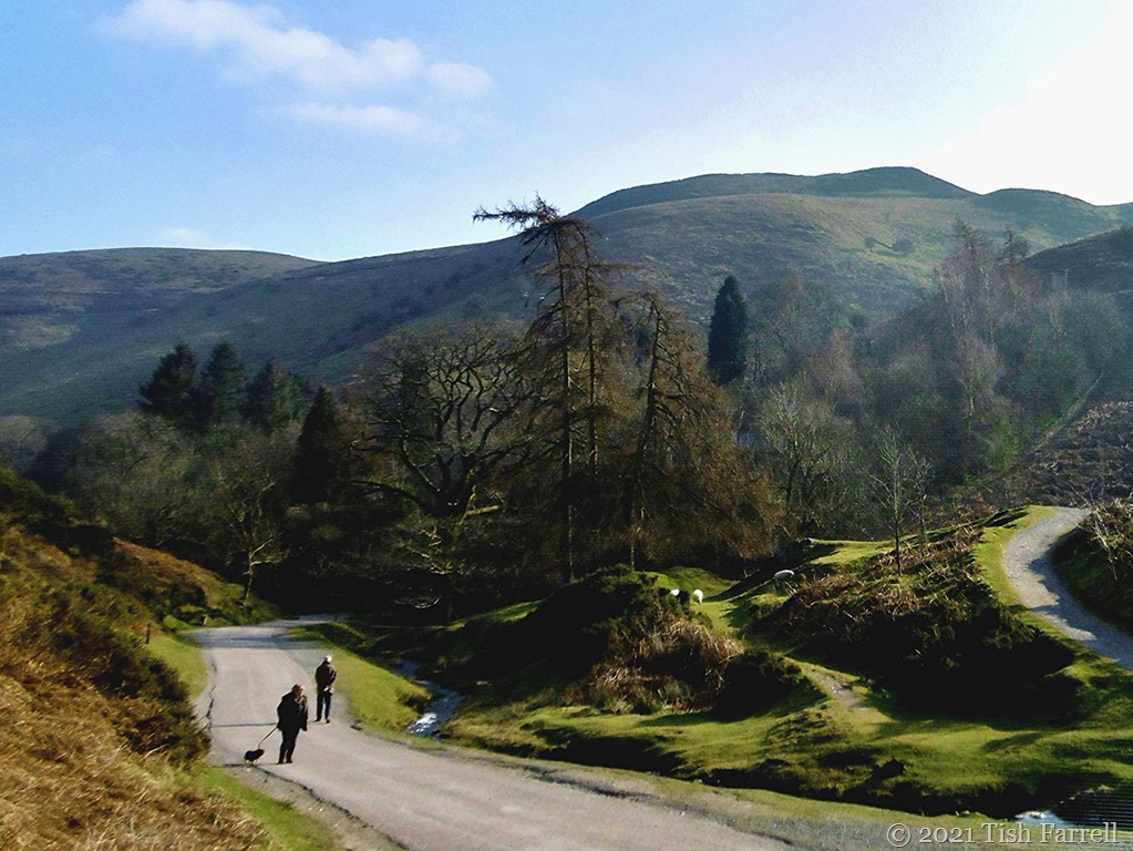
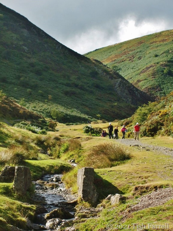
The next location is definitely the haunt of sheep, but also of walkers, day-outing picnickers and school parties studying environmental matters. This is Carding Mill Valley, the largest of several combes that cut into the Long Mynd’s flanks, and thus through some of the world’s oldest geology. This particular lane may begin looking intentional, but then it simply gives up and becomes a rock strewn defile with trickling streamside accompaniment. Boots not wheels for onward progress.
*
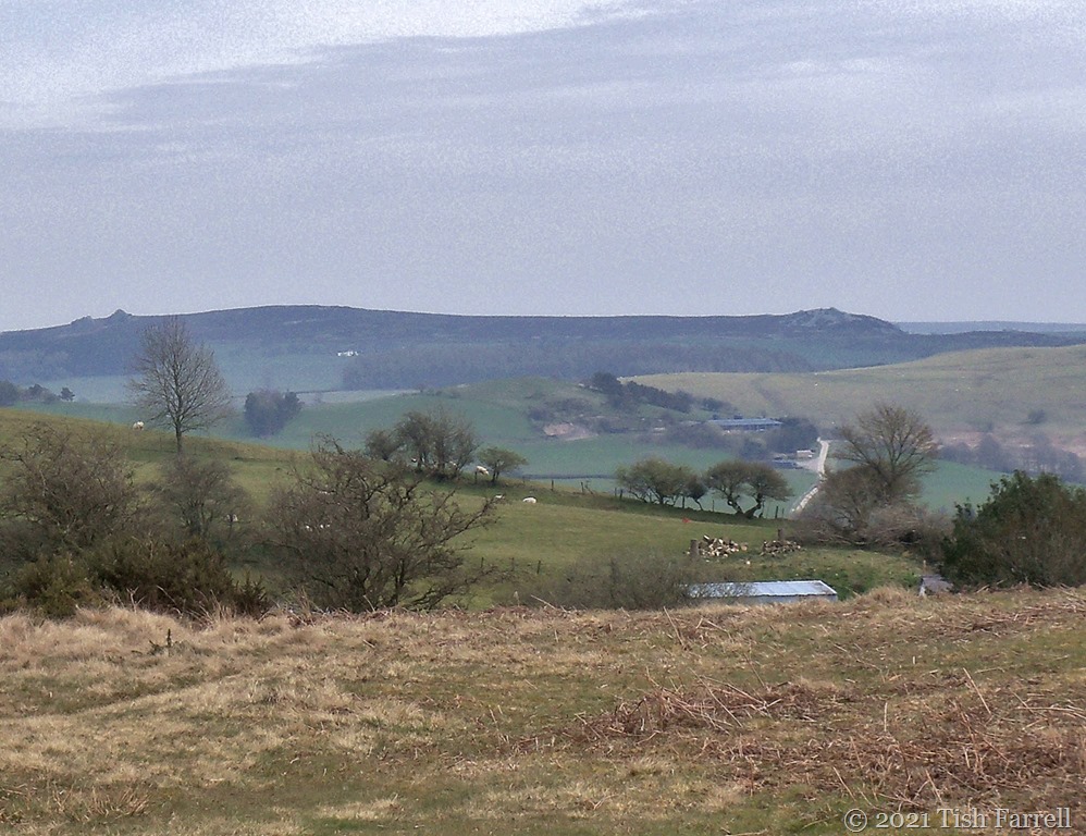
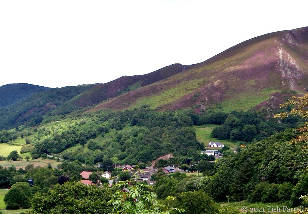
Now we have moved on across the Long Mynd, and are looking at its westerly slopes as seen from Shropshire’s most mysterious hill country, the Stiperstones, place of mine shafts and lead workings. One of the Stiperstones’ craggy tops is said to host the Devil and his court whenever the fog descends. Such be-misted gatherings of wicked entities obviously won’t enjoy views like this one.
*
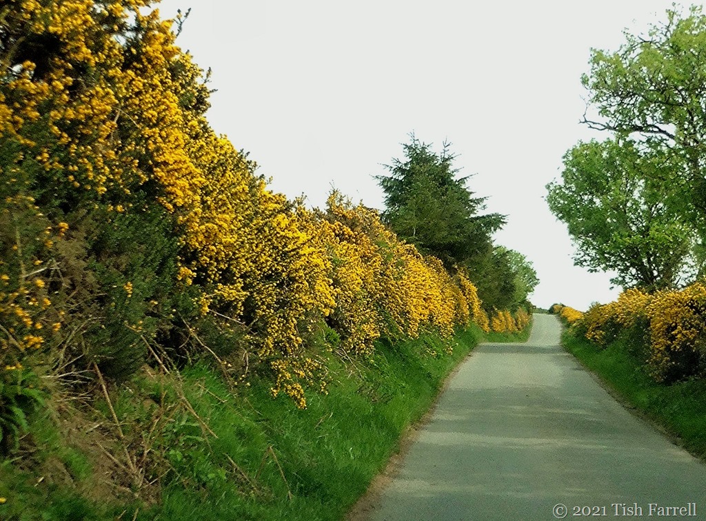
These next three views are of and around the Stiperstones: gorse along the lanes in high summer, and heather blooming on the hillsides.
*
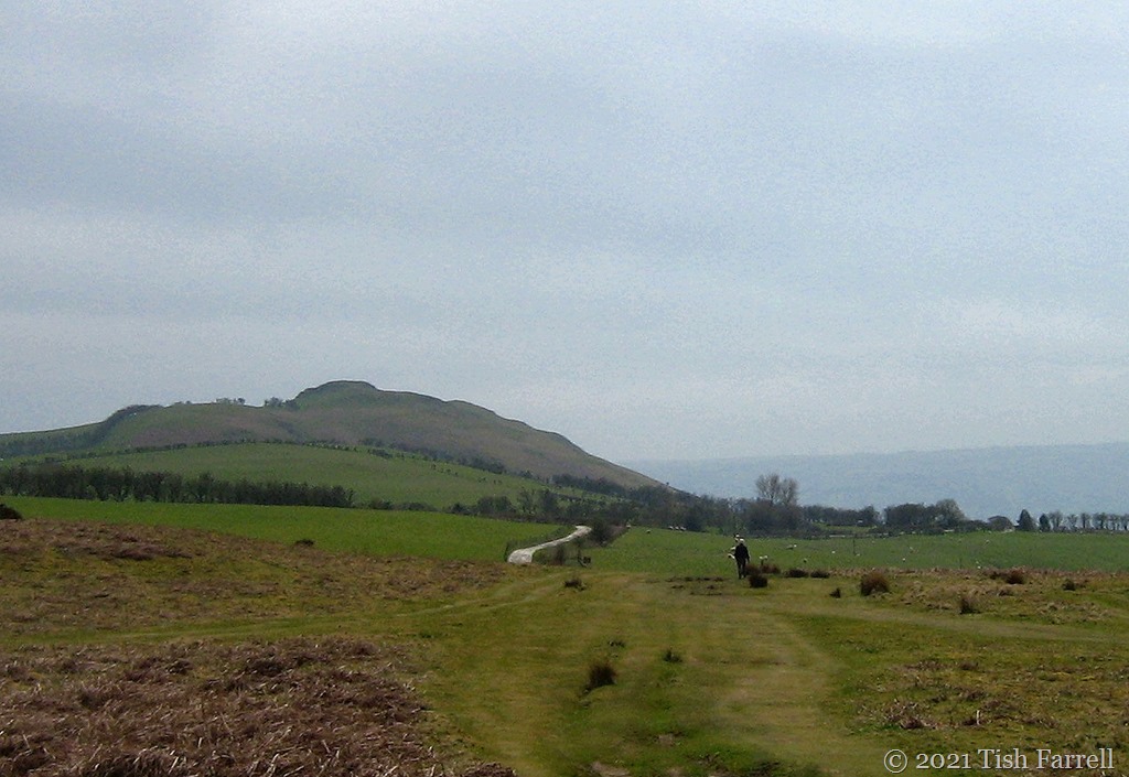
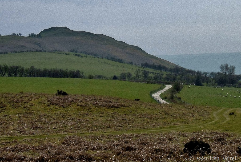
We’re close to the Welsh border now. Corndon Hill in the background, and the white lane we’ve driven along…
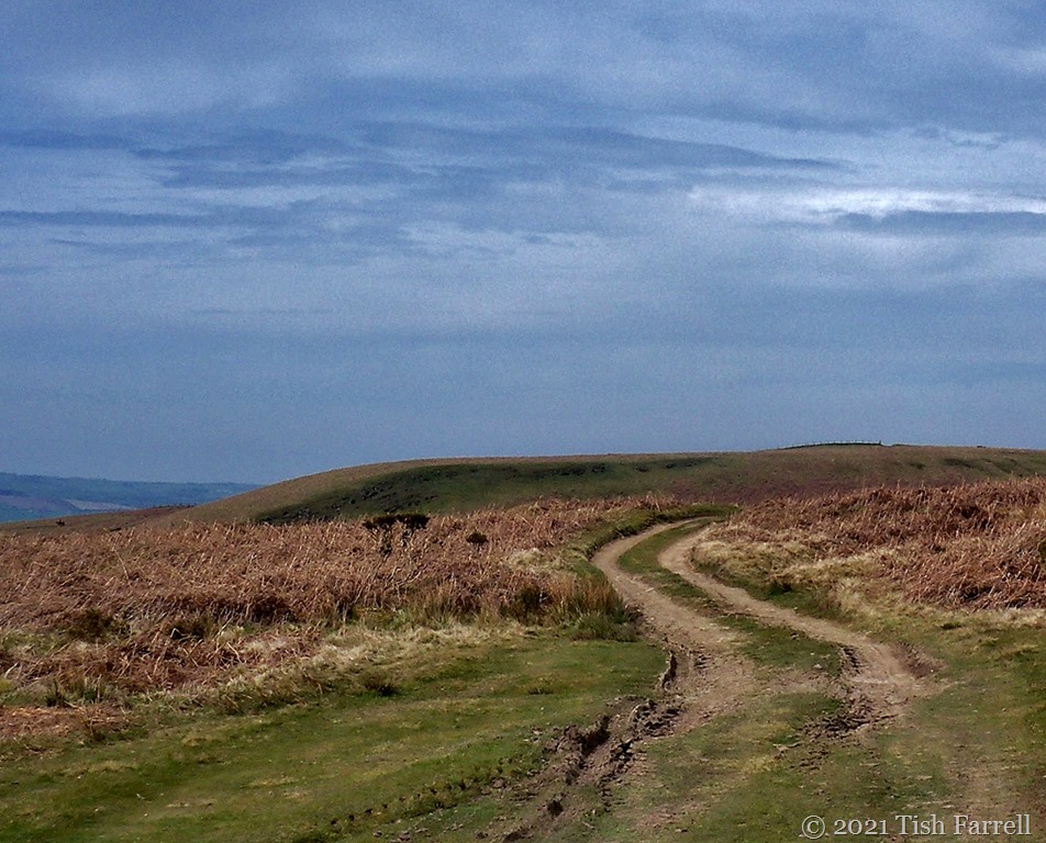
…which then becomes one of those tracks that still looks to be going somewhere. In fact as we left the car to walk, we were passed by a police patrol car. It sped by us over the hill in a manner that suggested routine activity, doubtless taking the unpaved route into Wales.
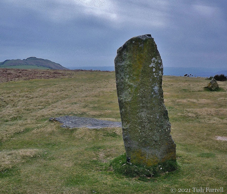
We weren’t going that far, at least not terrestrially, though we were going back in time, following 6,000 year-old footsteps to Mitchell’s Fold, the remains of a Bronze Age stone circle.
*
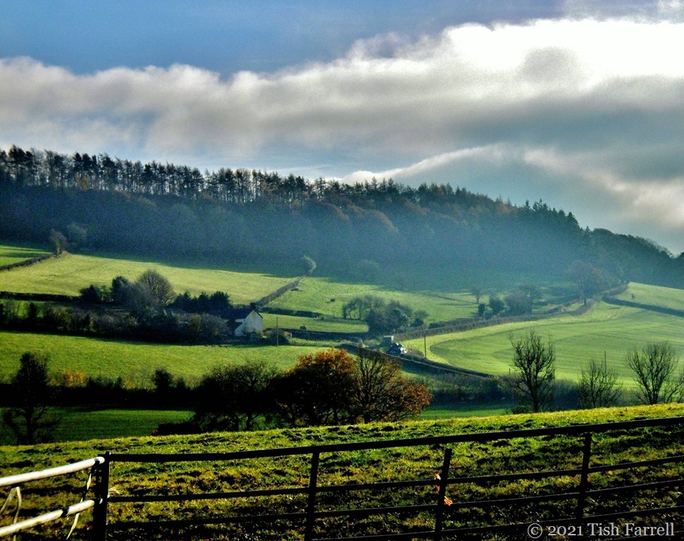
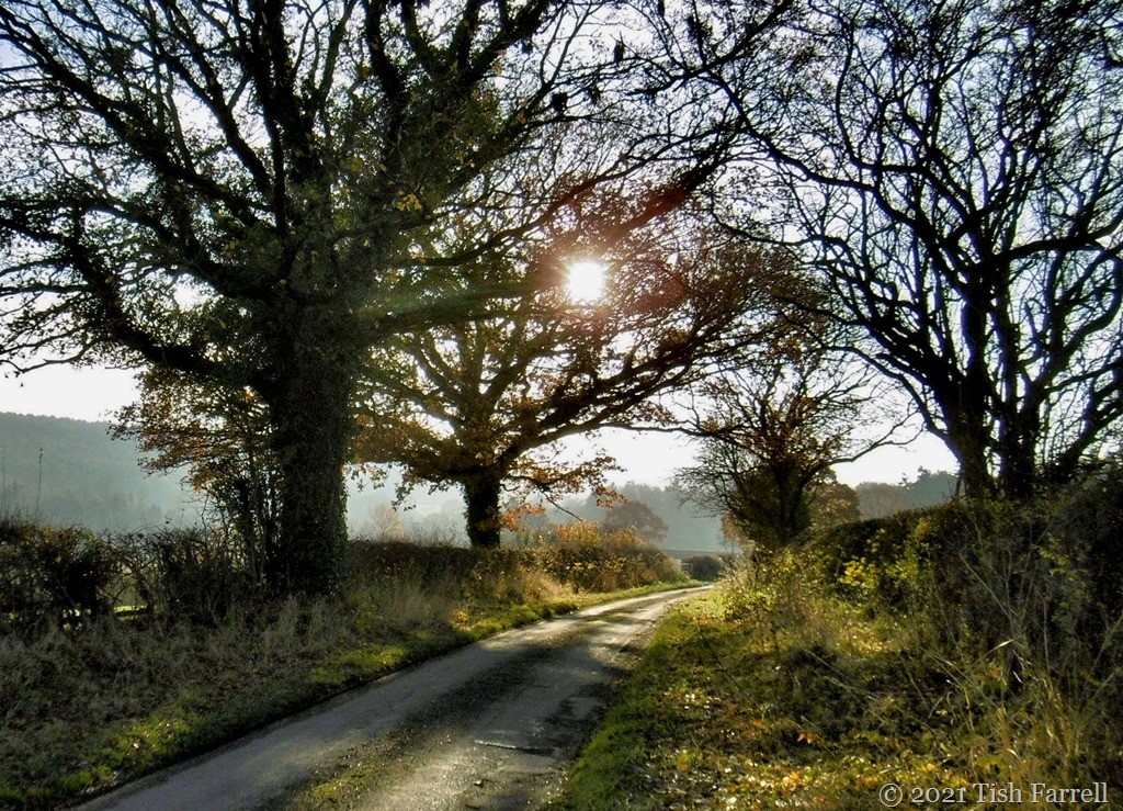
These final photos are closer to homes, the lanes below Wenlock Edge, near Easthope.
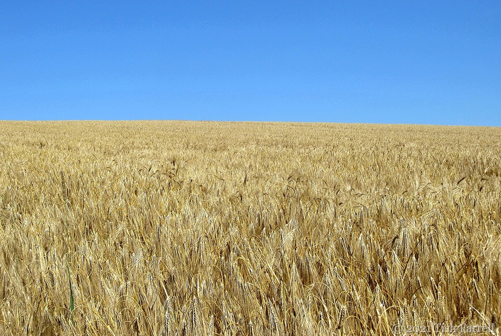
We’ve gone Mediterranean in Wenlock this week with temperatures hitting a surprising 30 degrees C. Here is this morning’s view of Townsend Meadow and the well ripening barley, caught as I was heading for the allotment on a pea and raspberry-picking mission.
I don’t seem to have written much about my allotment garden so far this year, even though it is my essential ‘get-away-from-it-all’ space and somewhere I go to most days. Best of all, it is only five minute walk along the field path from the house, yet it is quite a world of its own where there are now-and-then quiet exchanges with fellow gardeners, or sometimes no one else there at all.
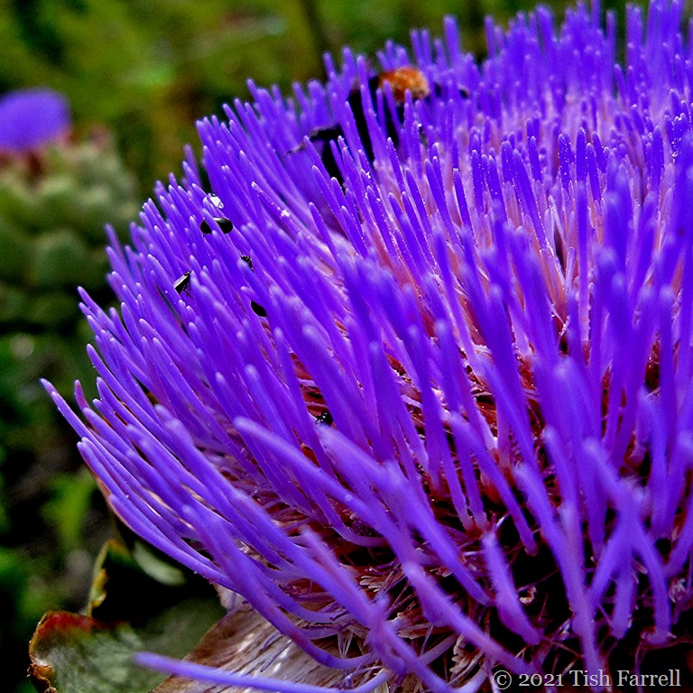
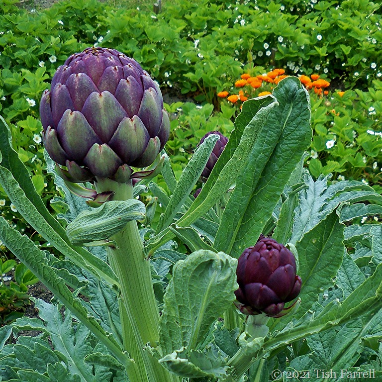
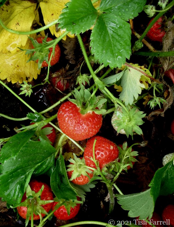
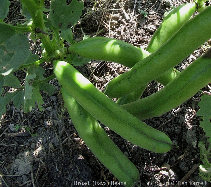
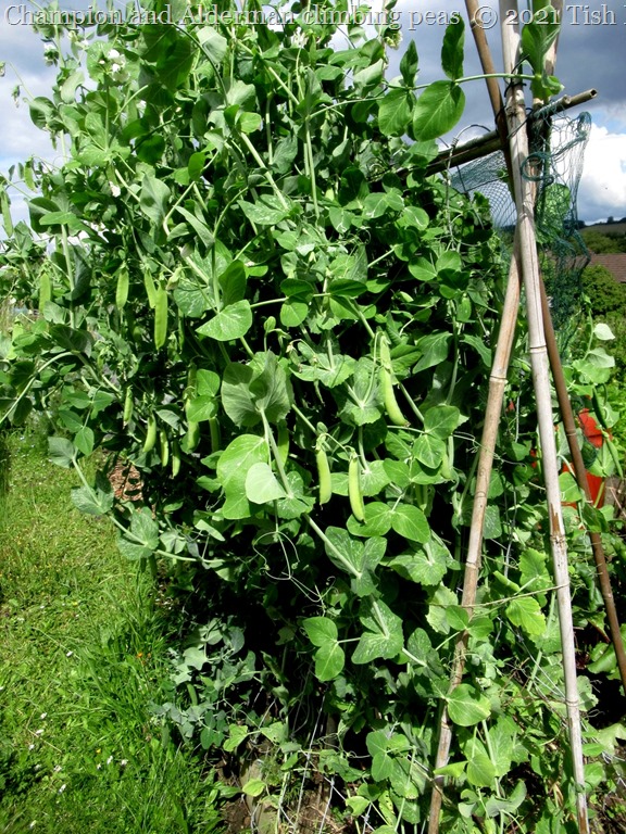
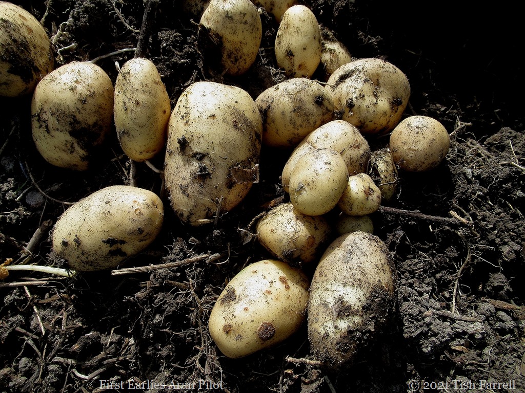
Anyway now is suddenly the season of concerted picking and consumption (peas, strawberries, new potatoes, cauliflowers, broad beans, beetroot, carrots, lettuce, onions, globe artichokes, Sun Gold tomatoes, courgettes); and also the moment when many crops are shifting gear towards later production mode: French, butter and runner beans, sweet corn, cabbages, parsnips, leeks, purple sprouting. All of which means there is much change in Farrell eating habits (another kind of getting away) as produce dictates meal content. Today, for instance, we had globe artichokes for lunch with garlic butter – and so we might well have been in France. Later we’ll have new potatoes with steamed broad beans, peas, and crispy bacon lardons. There may well be strawberries too.
*
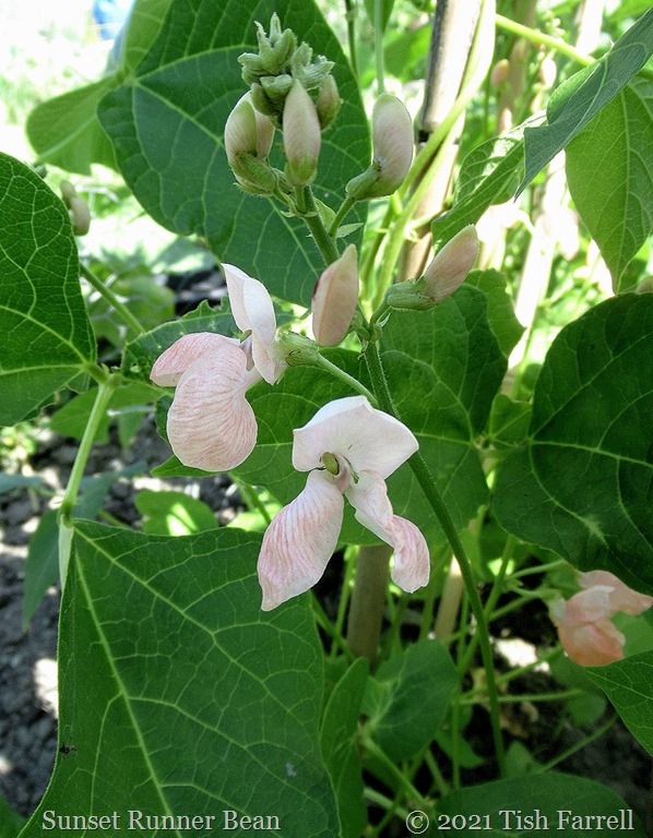
This year I’m growing a late variety of runner beans not tried before. Today the blossom was just opening – a lovely shade of pale apricot. It’s aptly named Sunset.
I also have a row of Firestorm growing beside the polytunnel. That bean blossom is also living up to its name:
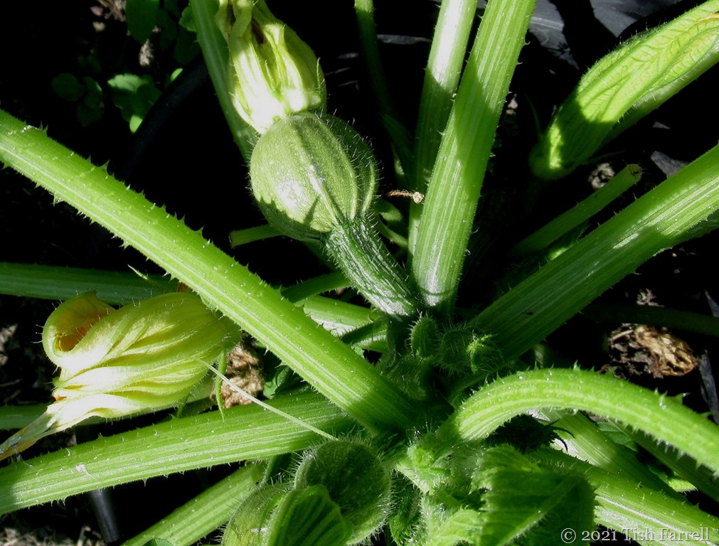
Another newcomer on the plot this year: round courgettes (zucchini)…
*
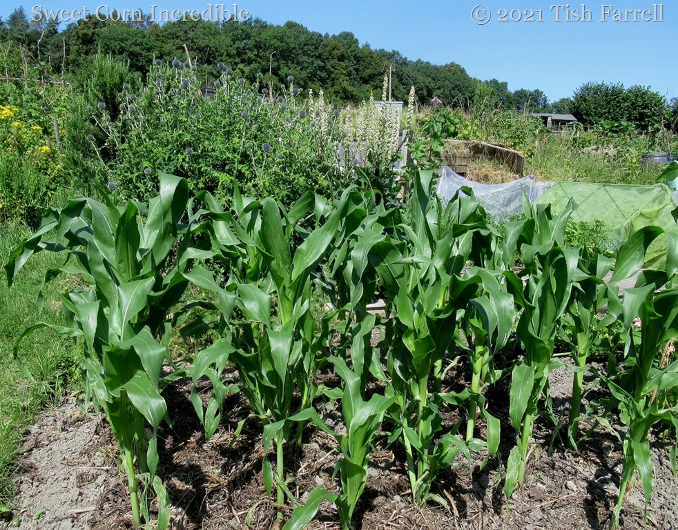
And here’s the Sweet Corn being rather Incredible too – a variety not tried before:
*
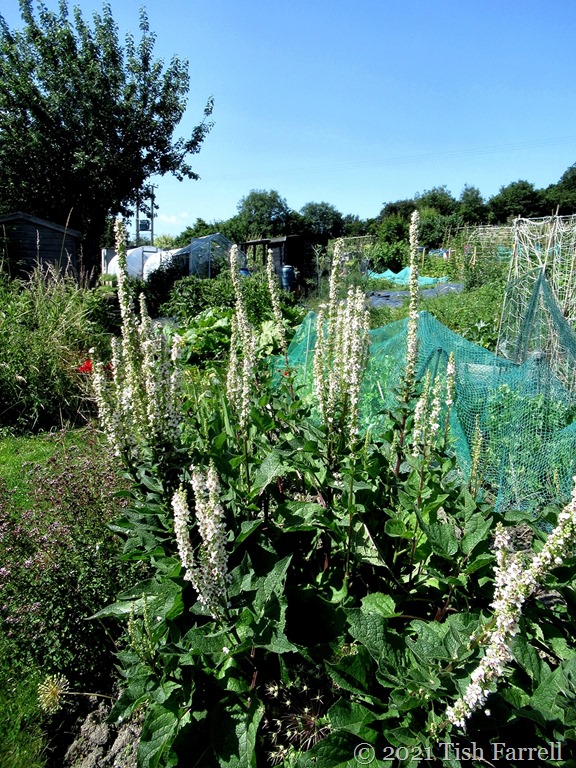
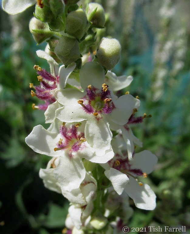
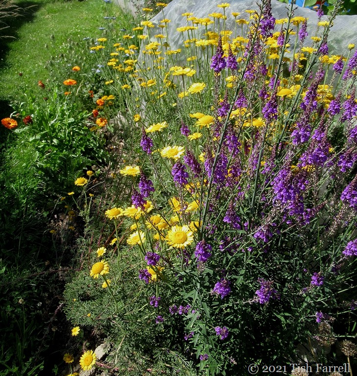
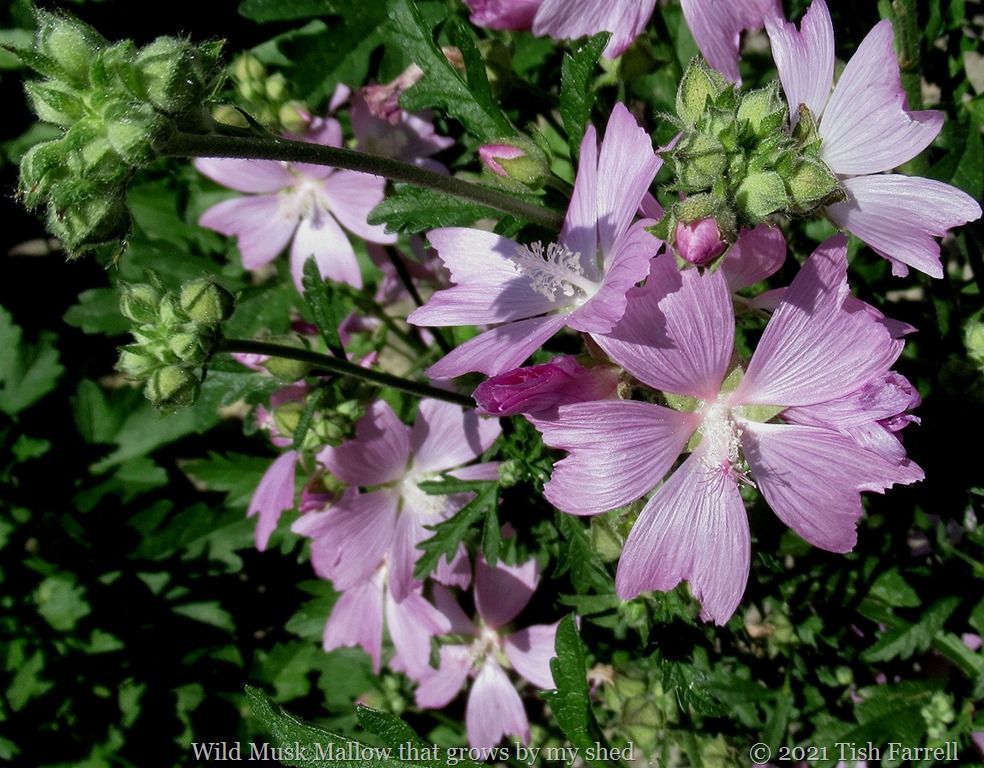
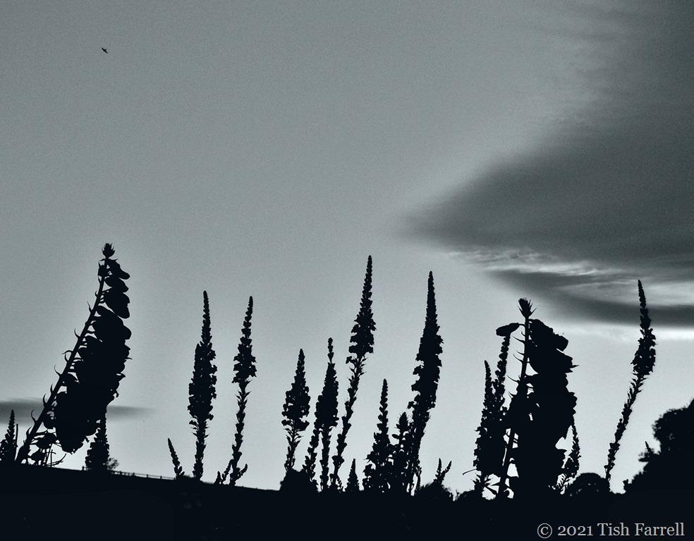
I also have flowers on my plots: some that bring themselves like pot marigolds, purple toadflax, the pale pink musk mallow, and others I have grown from seed e.g. Verbascum Wedding Candles (2nd photo from top) and detail in the next shot:
And what with all the flowers, vegetable and otherwise, the place is humming with bees and hover flies. Also this morning in the heat there were scents of strawberry jam (as the fruit began to simmer on the plants) and high octane rose and sweet pea scents as the volatile oils filled the air. I kicked off my gardening clogs and went up and down the grassy paths barefoot, variously harvesting and filling water butts and watering cans, soaking myself in the process. It was blissful. Then I went back through the barley field to he who is still trying to construct a greenhouse, even though the right glass has not yet been delivered. Instead we podded a big bag full of peas and beans. Harvest home!
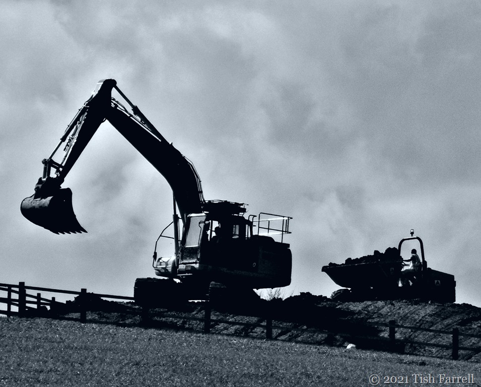
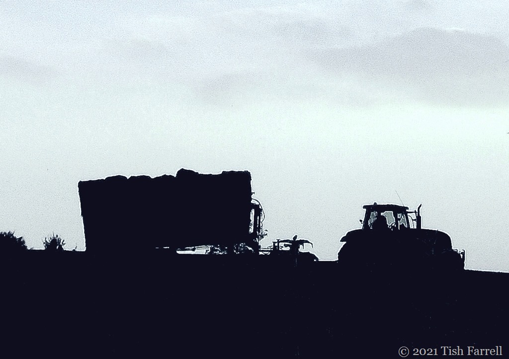
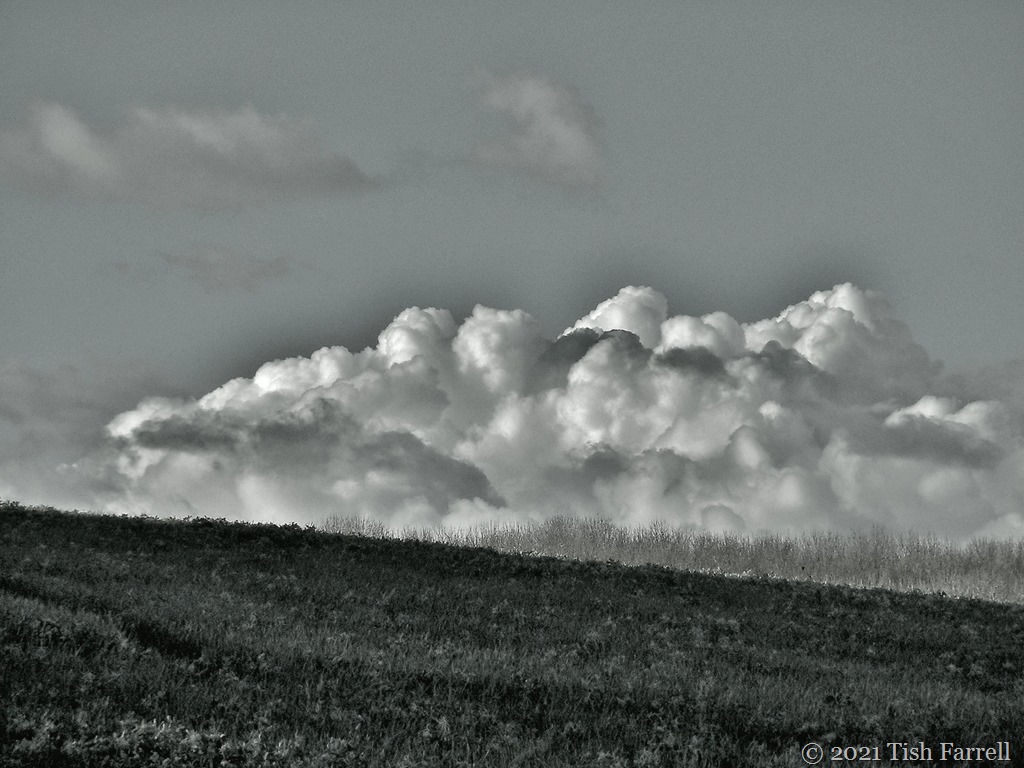
I am much in love with black and white photography and often use the monochrome setting on my camera. My small Lumix Panasonic ‘point and shoot’ camera used to produce the best results, the current small Canon not so good. The photos here are a mix of original monochrome and converted colour shots featuring various views of Townsend Meadow in different seasons.
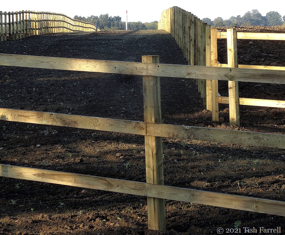
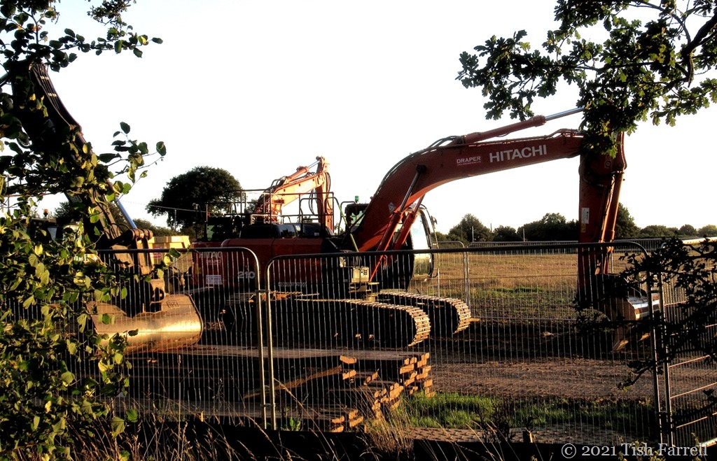
Excavating the flood attenuation pond at the top of Townsend Meadow 2017
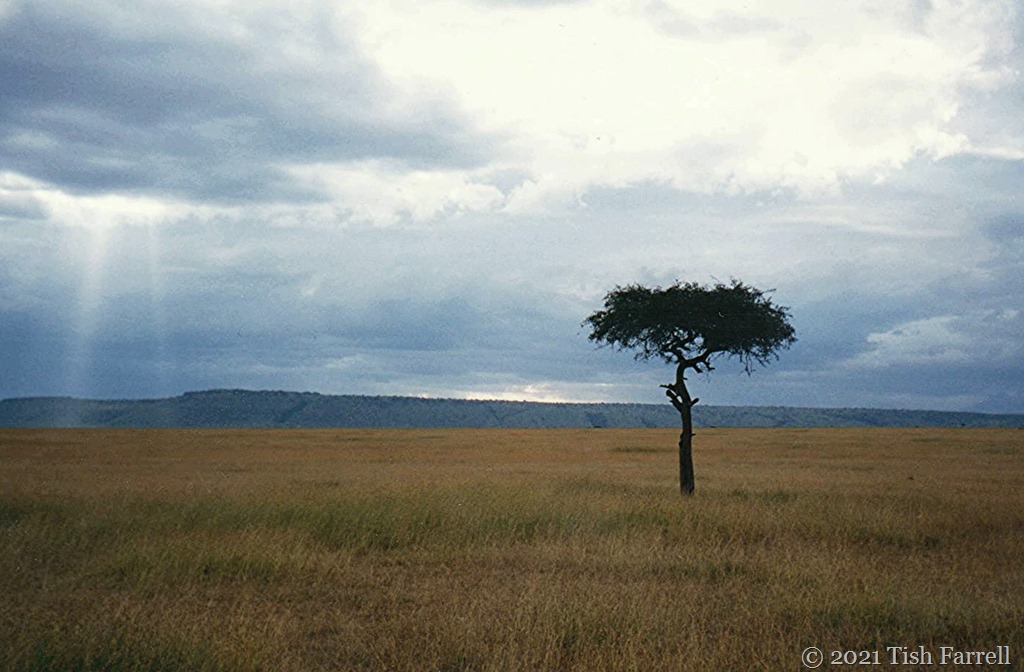
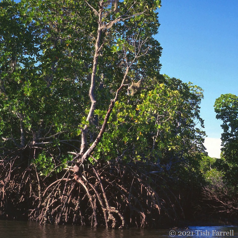
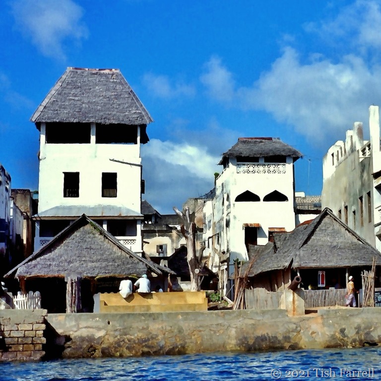
In my last post I mentioned the exposed Silurian seabed in our local quarry was once located somewhere off East Africa. And Jude at Travel Words said she wished she was somewhere off East Africa – to escape our recent rain-pouring summerless weather. Which then had my mind whizzing back to our years in Kenya, and in particular to a trip to Lamu Island, and a December day spent sailing by the mangrove forest of Manda Strait, drifting and dreaming aboard a traditional dhow.
The timber from these curious trees has long been an absolute necessity for the Swahili seafaring people of the East African coast. They built their dhows from mangrove planks and harvested the pole wood (boriti) for house construction, both at home and for export to places as far away as Yemen and Iran. The traditional Swahili merchant’s house was build of coral rag, excavated from old reefs, with the roof raised on boriti poles. The oldest surviving houses in Lamu Town date from the 18th century, but the Swahili City states of the East African seaboard – from Somalia to Mozambique – date back to the 8-9th centuries – a fusion of Arab and African cultures.
Christmas Day on Shela Beach. Distant baobabs across the strait.
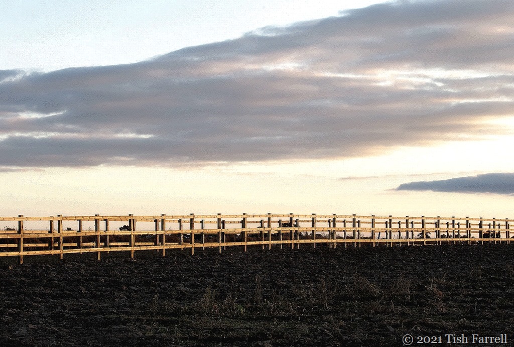
At last! Spring has arrived. Or perhaps I shouldn’t tempt fate by proclaiming it. Anyway, after freezing wind and deluges, here’s the proof of brightness, photo taken two evenings ago. You can see Windmill Hill in the distance. And as for Townsend Meadow and this fluffy looking crop – this year the over-wintered plants that I took for wheat, have recently transformed into barley, their feathery top-knots tall and shimmering in the sunshine. I am in love with the field – the way the light dances over it.
Ants and aphids have a good deal, otherwise known as a symbiotic relationship. Ants protect the aphids in return for giving them a squeeze, or at least stroking them with their antennae, in this way encouraging the voracious plant-consuming pests to excrete their honeydew waste. And ants can’t get enough of it. So they herd and manage and protect their aphid herds, moving them from harm’s way, seeing off predators, in particular ladybirds, whose eggs they will destroy.
In the next photos you can see the aphids have been ‘parked’ while the ant goes off to forage in the blossom and then patrol the ‘perimeter’.
Fascinating what one finds on the way home from the allotment. The photos were taken one evening last week so not the best light conditions.
This week Amy at Lens-Artists has set us a fine task – the pursuit of natural light. It’s one of the aspects of photography that fascinates me most; especially when it’s in short supply. Anyway, I instantly thought of the strange light effects that happen across the Menai Strait between the North Wales coast and the island of Anglesey, caught here during various December sojourns on the island. All the views are looking towards the Welsh mainland and Snowdonia.
The small town of Much Wenlock has been continuously occupied for at least a millennium. It grew up to serve the demands of Wenlock Priory. In Saxon times there would doubtless have been a smallish population of servants and slaves to do the menial tasks around the monastic domain. There were also local providers of goods and services with weekly fairs pre-dating the Norman Conquest.
St. Milburga was the first prioress whose name we know. Her father, the Mercian king, Merewald, sent her to France to be educated for the role. From around 670 CE she returned to preside over a double house of monks and nuns who lived and worshipped in separate quarters. She also commanded large estates – from the Severn Gorge to the Corve valley. This was very much a pattern for Saxon princesses – ruling over human souls and securing physical territory.
The original monastic house was greatly expanded in the years preceding the Norman invasion of 1066. Saxon Earl Leofric and his consort, Lady Godgifu (Godiva) footed the bill. But their considerable improvements were not good enough for the new Norman earl, Roger de Montgomery. From 1091 the place was taken over by incomer French monks from Cluny and it was they who, over succeeding centuries, undertook the work on the buildings whose ruins survive today. (See last week’s post for a tour of some of the ruins).
The town’s big break came in 1101 with the apparent discovery of St. Milburga’s bones in the ruins of Saxon women’s chapel. This convenient fortunate find put Much Wenlock on the pilgrims’ map, kick-starting a thriving service industry to cater for the many visitors. So were sown the seeds of the busy market and manufacturing town, and though still under monastic authority, the early Middle Ages saw the rise of freemen and burgesses and the growth of an urban elite.
With the Dissolution, the Prior’s dictate and ecclesiastical court rulings were exchanged for secular management by bailiff and burgesses – tanners, weavers, wool merchants, the new owners of monastic lands. In 1540 they built the town’s Guild Hall and later added the debating chamber where the Town Council still holds its meetings. They also set about building grand homes for themselves, enhancing and expanding earlier structures.
The header photo is Ashfield Hall, rebuilt in the 1550s by local worthy, Thomas Lawley, who extended an earlier stone building with the eye-catching timber-framed wing. In 1642 it was better known as the Blue Bridge Inn, and it was here that Charles I apparently spent the night during Civil War manoeuvres.
Here’s another view of Ashfield Hall. It is said to have been built on the site of St. John’s Hospital which was run by monks in the 1280s for the benefit of ‘lost and naked beggars.’ It had gone by the 15th century though evidence of its existence lived on in the street name of Spittle (hospital) Street, later renamed the High Street.
*
Much Wenlock’s Tudor Guild Hall is still used as a market hall (downstairs) and a museum and council chamber above. Sitting in the heart of the town beside the parish church t is absolutely the town’s ‘signature’ landmark.
*
The Bastard Hall up the street from the Guild Hall has seen many phases; its stonework certainly suggests some repurposing of priory ruins. It and its attached neighbour were the subject of an early Time Team television programme, the latter found to be housing the remnants of an early medieval hall. See link at the foot of this post for the full programme and insider views.
*
Reynald’s Mansion is perhaps the most singularly impressive building on the town’s High Street. The striking timber facade was built onto an existing medieval house in 1682. For a time it was the town’s butcher’s. The post with cross-bar by the front door was used to make hefting heavy loads easier.
*
This small architectural round-up was inspired by Ann-Christine at Lens-Artists. Striped and checked is her challenge this week.