Old As The Hills: That Would Be 570,000,000 years

100_9277ed

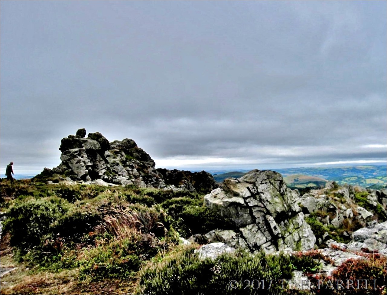
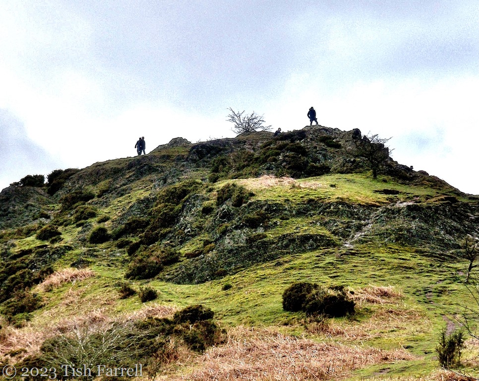
I recall being told by my geography teacher (aeons ago) that the Shropshire uplands comprised some of the world’s most venerable rocks i.e from the Precambrian era. The hills in question lie either side the Church Stretton fault, just across the Long Mynd from where we live now in Bishop’s Castle. On the east of the Stretton Valley are Lawley, Caer Caradoc and Ragleth, all formed from volcanic lava and ash around 570 million years ago. The Long Mynd lies to the west and began forming a little later with the build up of mud- and sandstone sediments in shallow seas.

Most astonishing of all, this whole process began when the earth’s crust beneath the land on which I now live was sited south of the Antarctic Circle. I’ll say that again: South Shropshire once lay south of the Antarctic Circle. Which obviously means this part of the British Isles has travelled from one end of the globe to the other.

On that journey, over millions of years, sea levels rose and fell; tectonic plates collided as continents shifted and shunted; uplifted landmasses were compressed, folded, tilted.

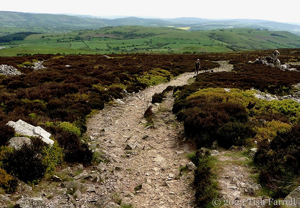
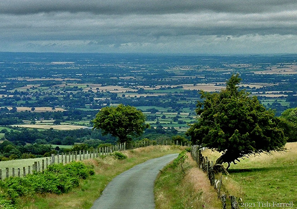
Then a succession of Ice Ages knocked the hills into shape. The Long Mynd is probably the most dramatic example – seen here in the the next photos taken in Carding Mill Valley, near Church Stretton. From 2.4 million years ago to 20,000 years ago glaciers shifted around the Mynd. When the ice sheets melted during interglacial periods, streams fed by melt water and rain carved out deep valleys, locally known as ‘batches’.

How mind-bogglingly amazing is this for a piece of landscape sculpting: water power plus the passage of time.

P1030461ed

P1030466resixws

IMG_6743ed

P1030464ed

P1030457

Lens-Artists: Time

Stiperstones Trail: Not For The Tender Footed

P1050992ed

*

In the last post you saw the Stiperstones in brooding monochrome. Those photos were taken on a dull and windy summer’s day. It was our first attempt to reach the Devil’s Chair. I had never seen it at close quarters. But in the end, the lack of light and the high wind across the tops put an end to the expedition.

The big problem on this particular trail is the surface. The higher you climb, the worse the path becomes, forming a devilish spread of upended pointy cobbles, designed to turn ankles and gouge soles, even when the walker is shod with sturdy footwear. The wind only made navigation harder: hard to focus with watering eyes. At one point I tried deviating through the heather, but it was a struggle to stride over; and it meant walking twice as far, and the rocks still ambushed me. A retreat was called.

We then made another attempt on a windless sunny day, when these photos were taken, but again were defeated by the terrain; nobbled by the cobbles. Still, despite hazy skies, there were some good views of the South Shropshire Hills as we headed down. And there is no doubting: this is one dramatic landscape, the quartzite rock of the the tors and outcrops laid down 480 million years ago, then fractured and shattered during recurrent freeze and thaw phases of the last Ice Age, 15,000 years ago. Back then, the ice sheet that covered much of Britain lapped against these hills.

It’s quite a thought: the repeated cycles of warming and cooling, cooling and warming that planet earth has gone through over many million years. And here we are in a warmish interglacial (it was apparently warmer in Britain in the Bronze Age, during Roman times and in the Middle Ages), and we’re probably due another cooling, since the geological timetable appears remarkably consistent, or at least it does when one’s dealing in millennia. I’m not sure we’ll like it though, the cooling.

 P1050981ed

P1050999ed

P1050988ed

Cee’s Which Way Challenge: walks

Taking The Back Roads In The Shropshire Hills

P1080526

My home county of Shropshire is farming territory and so, with only two main towns (Shrewsbury and Telford), five smaller towns, and very many villages, hamlets and isolated farms, there are far more by-ways than highways. Sometimes the back roads start off well, asphalt sealed and marked on the map, only to deliver you, after much meandering, into a farmyard midden or sheep field. This is a particular feature of the upland tracts of the South Shropshire Hills. Sometimes, too, after you’ve been driving on a narrow lane for several miles, thinking you are well on course, you may find the tarmac sprouting weeds. Sometimes it runs out of asphalt altogether yet clearly progresses as a dirt track that must go somewhere. Other times it may simply devolve to a footpath with retreat the only option.

The top photo shows the great divide between the north and south of the county. In the foreground is a hill lane crossing the Long Mynd. The vista beyond is the North Shropshire Plain which in due course runs into the Cheshire Plain, fertile dairy terrain both. By contrast, the hill country is very much about sheep.

The next location is definitely the haunt of sheep, but also of walkers, day-outing picnickers and school parties studying environmental matters. This is Carding Mill Valley, the largest of several combes that cut into the Long Mynd’s flanks, and thus through some of the world’s oldest geology.  This particular lane may begin looking intentional, but then it simply gives up and becomes a rock strewn defile with trickling streamside accompaniment. Boots not wheels for onward progress.

P1030466

100_4417

*

Now we have moved on across the Long Mynd, and are looking at its westerly slopes as seen from Shropshire’s most mysterious hill country, the Stiperstones, place of mine shafts and lead workings. One of the Stiperstones’ craggy tops is said to host the Devil and his court whenever the fog descends. Such be-misted gatherings of wicked entities obviously won’t enjoy views like this one.

P1050960cr

*

These next three views are of and around the Stiperstones: gorse along the lanes in high summer, and heather blooming on the hillsides.

100_9482cr

P1060022cr

029

*

We’re close to the Welsh border now. Corndon Hill in the background, and the white lane we’ve driven along…

IMG_2182cr

P1030701cr

…which then becomes one of those tracks that still looks to be going somewhere. In fact as we left the car to walk, we were passed by a police patrol car. It sped by us over the hill in a manner that suggested routine activity, doubtless taking the unpaved route into Wales.

100_9486

We weren’t going that far, at least not terrestrially, though we were going back in time, following 6,000 year-old footsteps to Mitchell’s Fold, the remains of a Bronze Age stone circle.

100_9479cr

*

These final photos are closer to homes, the lanes below Wenlock Edge, near Easthope.

P1060056

P1060098cr

Lens-Artists: along back country roads  Beth at Wandering Dawgs wants us to take to the by-ways.

Back To The Stiperstones ~ Or Slow Under The Surface, And What On Earth Were The Luftwaffe Doing Here?

This week at Lost in Translation, Paula’s prompt is ‘SLOW’. So here is another vista from our recent trip to South Shropshire’s Stiperstones (see also the previous post.) And the reason I’ve chosen it is because I cannot think of anything slower than the trans-global  journey of the landmass on which these hills sit. It has been travelling an inch a year for 450 million years, moving up from its source on the southern shores of the Iapetus Sea, 60 degrees south of the equator and roughly where the Indian Ocean is today. I’m not sure if the land beneath our feet is still heading north, or if one day Shropshire will be in the Arctic.

That’s quite a thought.

The other aspect of slow-going to be seen in these photos is the gradual weathering of the folded, upthrust former beach from which this 5-mile ridge is mostly formed. Much of the shaping began with the last Ice Age when the glaciers extended across Shropshire.

A far more recent, and somewhat bizarre reshaping apparently took place during World War 2, when the Luftwaffe, flying over the north end of the Stiperstones, mistook the rocks of the Devil’s Chair outcrop for a town with ammunition dumps, and duly bombed the place. How they came to this conclusion is hard to understand. Even in the heyday of the local lead mining industry, the communities were small and sparse and tucked into hillsides and valleys. There has never been a town in these parts. Perhaps in the dark the strangely glowing quartzite exercised some mystical, mystifying interference in pilot perception. Who knows?

It is anyway another good yarn to add to the tales of witchcraft and devilry that, in the human imagination of ages, enmesh these bleak uplands.

IMG_5519

We certainly saw no signs of bombing, though it might be hard to spot among the heaps of fragmenting quartzite. These particular shots were taken at Cranberry Rocks at the southerly end of the Stiperstones. We did not make it as far as the Devil’s Chair; it was too hard underfoot and too windy. But we do mean to make another visit one day soon, and tackle the hill from the northern end. We just have to remember not to go when mist threatens, or we might come on the Devil himself, brooding nastily on his craggy, Luftwaffe-remodelled throne.


copyright 2017 Tish Farrell

Looking Out From Wenlock Edge ~ One Subject Two Formats

P1050952

P1050954

You can see why this part of Shropshire falls within an Area Of Outstanding Natural Beauty. These shots were taken on the viewpoint just past Hilltop on Wenlock Edge and I’m looking south-west towards the Shropshire Hills. You can see, too, why poet, A E Housman called them ‘blue remembered hills’. They seem like a memory even if you have never clapped eyes on them before.

And so when presented with the kind of blissful panoramic views that the Edge provides, it is tempting to try to capture all of it. And that usually does not work, not unless the light is perfect, and your photographic skills are considerably greater than mine. Even this landscape view is only a small segment of the 180 degree vista. I chose it because I liked the visual flow of man-made fields towards the grassy uplands, and the here-and-there accents of hedgerow and woodland; the many shades of green.  Also, despite the millennia of human intervention here, you can still discern the landscape’s natural rhythms beneath the pastoral surface.

It’s a soothing scene to look AT. But the portrait version, I feel, is doing something rather different. It invites you into the landscape as if stepping through a door; it is therefore more actively affecting. Just my thoughts anyway. Also a thank you to Paula for stirring us up to think about the different effects of landscape and portrait composition.


Thursday’s Special: Portrait vs Landscape