

Shropshire’s mysterious Stiperstones featured in a recent Square Odds post. Here are more shots in monochrome, plus a few facts for geology lovers.
The grey-white rock of the ridge is quartzose sandstone known as the Stiperstones Quartzite Formation, created some 480 million years ago in the Ordovician era.
The tors and the rubble-like surroundings we see today are the work of more recent events in the last Ice Age (c. 115,000 – c. 11,700 years ago). During this time, the eastern edge of the Welsh ice sheet was nudged up against the Stiperstones, not covering it, but causing the quartzite to fracture during periods of intense freezing followed by thawing.
The highest point (Manstone Rocks) is 536 metres (1,759 ft) above sea level, making it the county’s second tallest hill after Brown Clee. The ridge extends some 8 kilometres (5 miles), the summit crowned with a series of six distinctive outcrops.
For geology buffs there is a detailed overview of Shropshire’s 700 million year geological history by Peter Toghill HERE.
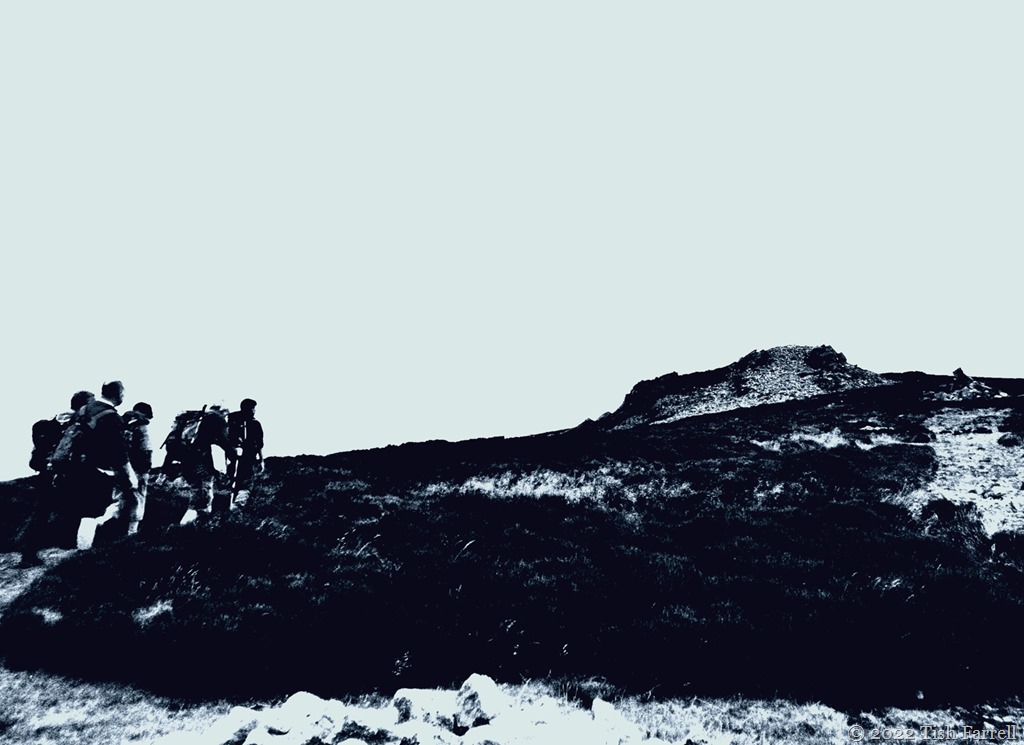
This next photo: men on Manstone Rock, the highest point on the Stiperstones…


Cee’s Black & White Photo Challenge: rocks, boulders, stones

I’m a big fan of geology, and I found this little lecture very interesting. But you can’t beat a yarn which involves the Devil himself 😉
Indeed. The Devil adds more than a frisson.
The power of water and ice…
Hi Tish. I hope your area didn’t experience much from that huge storm and that all is well with you and yours. Fascinating post today!
Many thanks for those kind thoughts, Babsje. Much appreciated. We certainly had a good deal of bluster and rain, but all is calm now. I’ve only been across the field to the allotment, but familiar trees are still standing 🙂
What fantastic boulders and rocks you found for this week. Well done 😀
Thanks, Cee 🙂
A tad eerie!
Very. It was a very strange day altogether – hardly any light!
Spooky
Black and white gives such a different look than color, doesn’t it? So interesting.
The rocks seemed to loom rather strangely too.
These work so well in black and white, the textures are amazing. It’s a very rocky terrain up there, easy to wreck an ankle.
Yes, very tough on the feet and ankles up there. I think I took the photos with my now defunct Lumix in its dynamic monochrome setting. I was very fond of that look.
I love these sorts of interesting rock formations – so photogenic and especially so in B&W!
Thanks, Sarah. There was so little light that day, it surprises me that they came out at all.
I can see what you mean but actually the moody impressions created by the poor light are very effective!
Very interesting Tish!
Glad you liked this, Agnes.