

Shropshire’s mysterious Stiperstones featured in a recent Square Odds post. Here are more shots in monochrome, plus a few facts for geology lovers.
The grey-white rock of the ridge is quartzose sandstone known as the Stiperstones Quartzite Formation, created some 480 million years ago in the Ordovician era.
The tors and the rubble-like surroundings we see today are the work of more recent events in the last Ice Age (c. 115,000 – c. 11,700 years ago). During this time, the eastern edge of the Welsh ice sheet was nudged up against the Stiperstones, not covering it, but causing the quartzite to fracture during periods of intense freezing followed by thawing.
The highest point (Manstone Rocks) is 536 metres (1,759 ft) above sea level, making it the county’s second tallest hill after Brown Clee. The ridge extends some 8 kilometres (5 miles), the summit crowned with a series of six distinctive outcrops.
For geology buffs there is a detailed overview of Shropshire’s 700 million year geological history by Peter Toghill HERE.
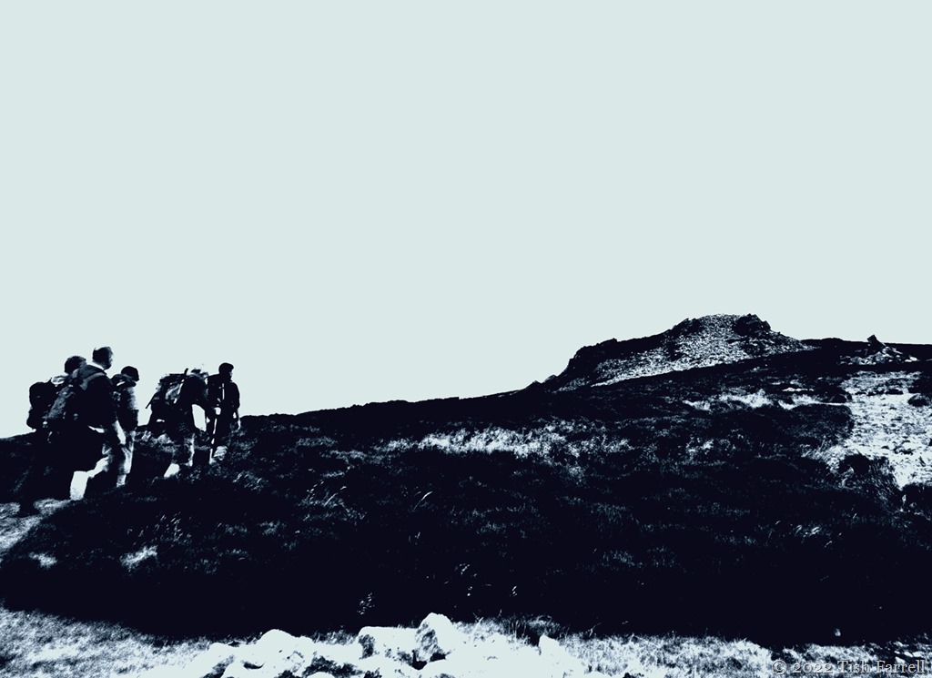
This next photo: men on Manstone Rock, the highest point on the Stiperstones…


Cee’s Black & White Photo Challenge: rocks, boulders, stones

