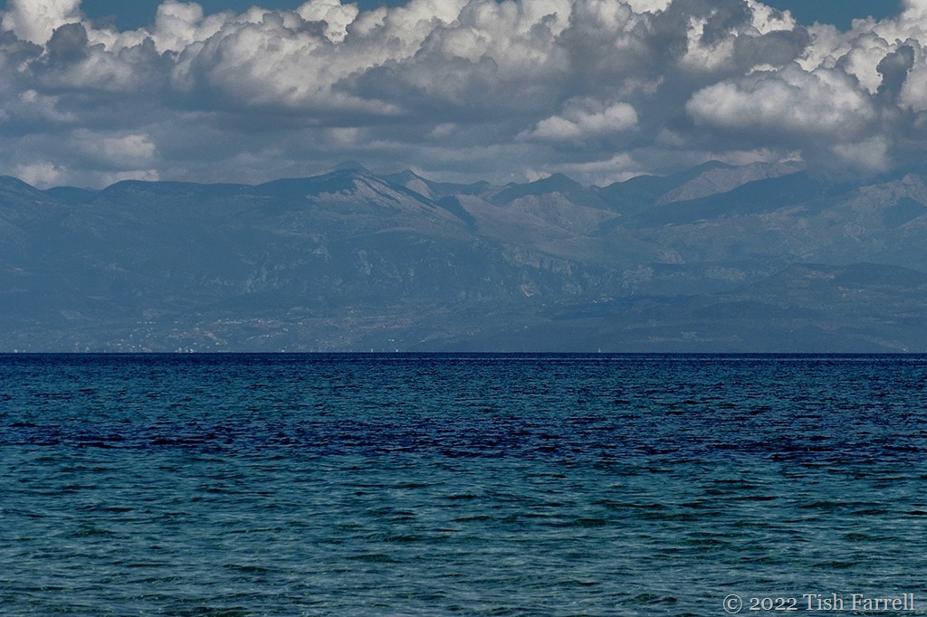
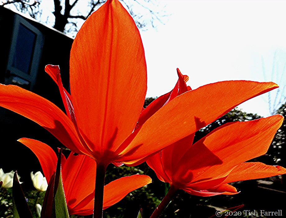
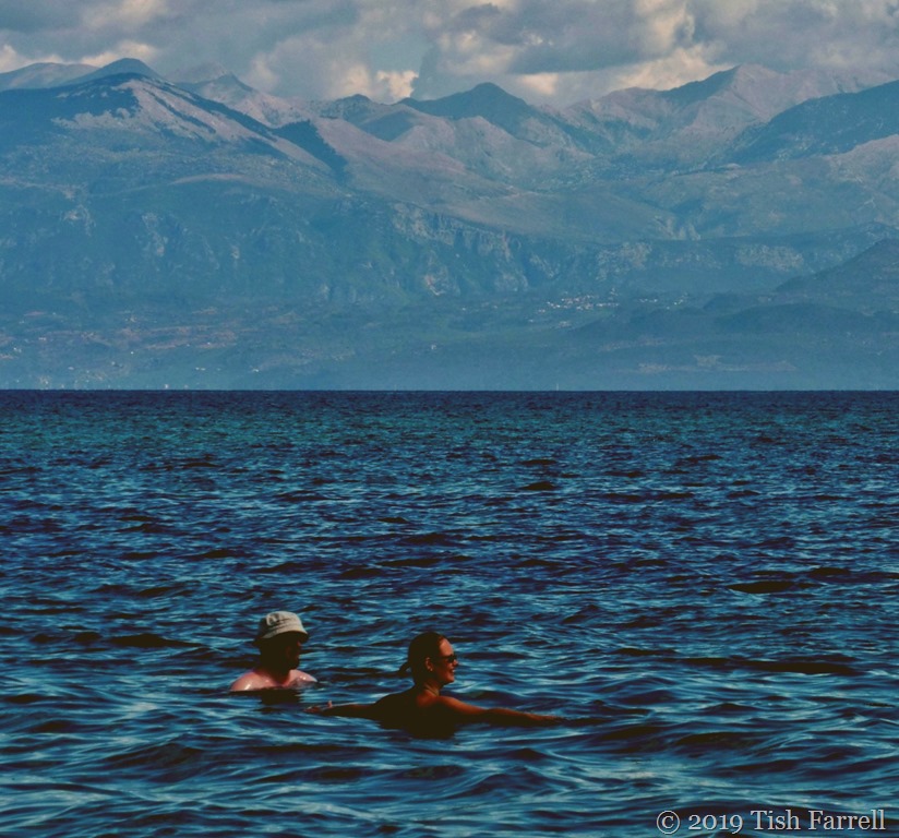
It was hard to leave, yet if we had stayed longer we might never have come home. We drank light, red wine pressed this summer from the ancient Greek Agiorgitiko grapes grown at our door, ate olives picked last autumn from the garden trees, laced our food with fragrant oil, drizzled honey over little clay pots of fresh yogurt, bit into sun-warmed figs, breathed in lavender, rosemary, oregano, rose geranium, then gazed, quite mesmerised, over the olive groves to the sea and the blue spine of the Taygetus Range. And then forgot. Everything.
We were here for seven days. On the Peloponnese (Πελοπόννησος) – the place where legend has geographical existence and the gods once roamed and made mischief. One of the gateways to the underworld is at the foot of the Mani penisula, another is at Lerne (Λέρνη) in the Argolis, where Heracles also slew the multi-headed serpent Hydra. Before that he had been in Nemea, slaying the Nemean lion. This is also the area from which Agiorgitiko vines are said to originate, and so the wine is also dubbed Blood of Hercules since it is believed to have fortified the hero before he vanquished the big cat.
Later he travelled across the northern Peloponnese in pursuit of the Ceryneian Hind and the Erymanthian Boar, while in the west he diverted the rivers Alfeois and Pineois to clean out the monumentally filthy Augean Stables. (Don’t you find it pleasing to know these fantastical events occurred in real places).
This is also the land of the Bronze Age Mycenaeans – they who were the builders of palaces, cities and tholos tombs – their centre the city of Mycenae in the north-east – until their mysterious disappearance in 1100 BCE. Homer’s tales in the Iliad have their beginnings here too, in Sparta, whence Paris eloped with Helen, and set off the whole bloody conflict that was the Trojan War.
In the Common Era, and especially from the early Middle Ages, the shores of the Peloponnese suffered serial conquests, falling under Byzantine rule twice, invaded by Slavs, Franks, Ottoman Turks (twice), Venetians (twice) – all of whom, one way and another, have left traces of their passing. And yet for all this and the many following upheavals, including the War of Independence against the Ottoman Empire in 1821 -1832, and the Civil War of 1946-49, one has the sense, at the very heart of things, that the Greeks have, and always will, remain true to their authentic selves. They live for, and of, and by land. For many, that living may be tough, and especially by cosy 21st century standards, but still they live well. You sense this as you wander the lanes past the ramshackle farms with their litter of tractor parts and decomposing cars. And here we come to the crux of the matter – the smiles and exchanges of kalimera (good morning) as we pass: for if the true measure of a civilised people is their capacity to welcome strangers, then the Greeks continue to show us the way. Indeed, many of us could learn a great deal from them.
 - The Atlas of Ancient and Classical Geography Project Gutenberg")
Samuel ButlerThe Atlas of Ancient and Classical Greece, Project Gutenberg
*
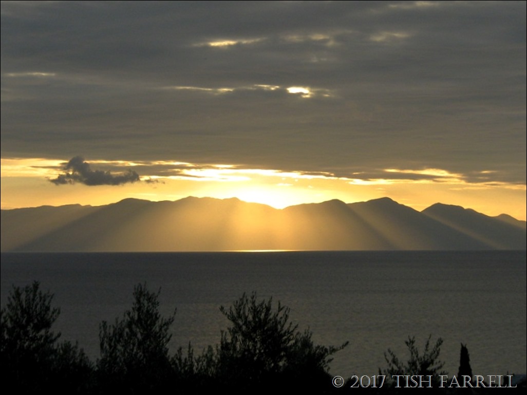
But in case you are wondering where exactly was the location of our collective forgetting – we were staying above Peroulia Beach, among the olive groves between Kombi and Harakopio villages, 6 km north of Koroni (Κορώνη) on the easterly tip of the westernmost peninsula. Our little house at the Iconpainter’s Villas had a veranda that looked east on the Gulf of Messinia and the mountains of the Mani across the water, and south to Koroni – a hillside fishing village hugged around its harbour, the promontory behind dominated by the monolithic bastion of a huge fortress built by the Venetians in the 13th century and added to by the Ottomans in the 16th. Perhaps I’ll take you there in the next post. But be warned: it is a fair hike through the olive groves.
copyright 2017 Tish Farrell


 - The Atlas of Ancient and Classical Geography Project Gutenberg")

