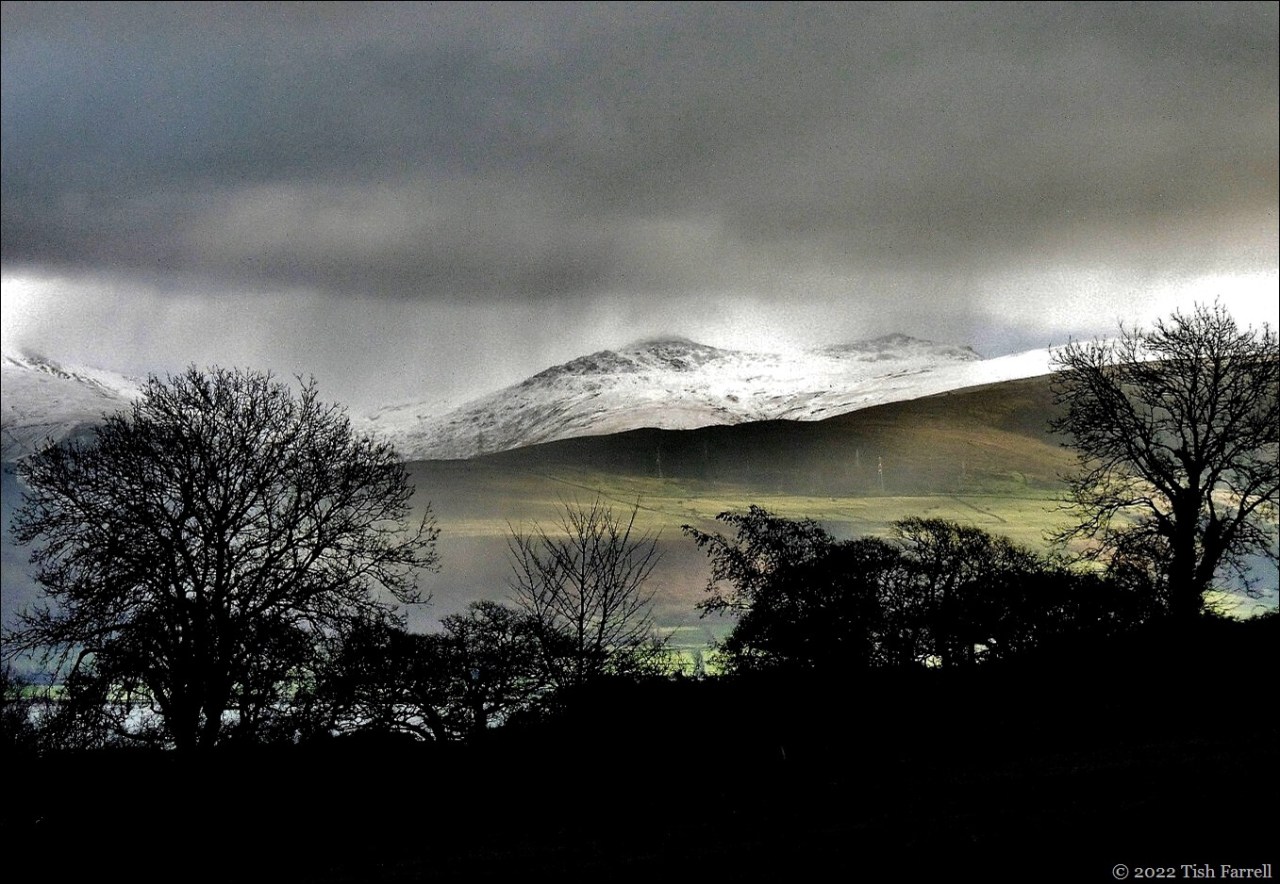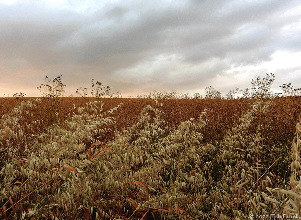

Offerton Moor viewed from Callow Farm, Highlow, Derbyshire
*
I’ve been posting views of South Shropshire lately, the green and wooded hill country of my home county. It is a terrain that, on the whole, seems more amiable than rugged, although in bad winter weather the tops of Stiperstones and Long Mynd will ever prove challenging.
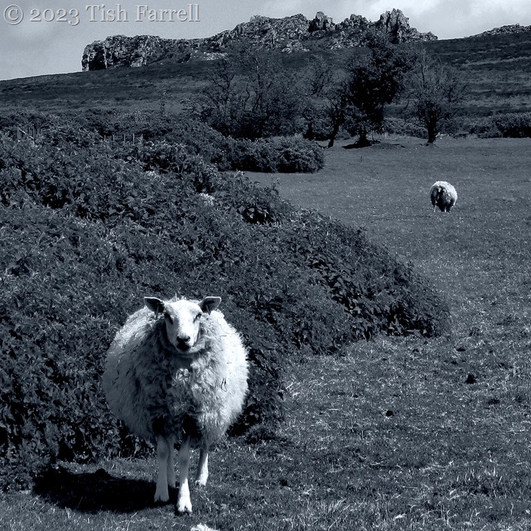
But today, on another hoar-frosted day in Bishops Castle, I’m thinking of the Derbyshire Peak District where my maternal Fox family ancestors farmed over many generations. What a tough life they must have led, running sheep on the high moors, struggling to raise essential oat crops in more sheltered enclaves, raising a few cattle to provide milk to make cheese and butter: the cheese a staple with ale and oatcakes, the butter to sell at market.
The header photo is the view from the former farmyard of Callow Farm, last occupied by 3x great grandfather George Brayley Fox in 1892.
Most of the High Peak farmers (even if they were yeomen owning some land and property) were also tenants of large estate owners – the Dukes of Rutland and Devonshire as well as lesser lords of manors. The farms provided food and shelter, but Derbyshire farmers were opportunists too. For centuries they mixed farming with other trades, butchery, hat making, grindstone making for milling and the Sheffield cutlery trade, weaving, haulage, and most dangerously of all, but potentially lucrative, lead mining; this last usually carried out in winter months when there was little farm work.
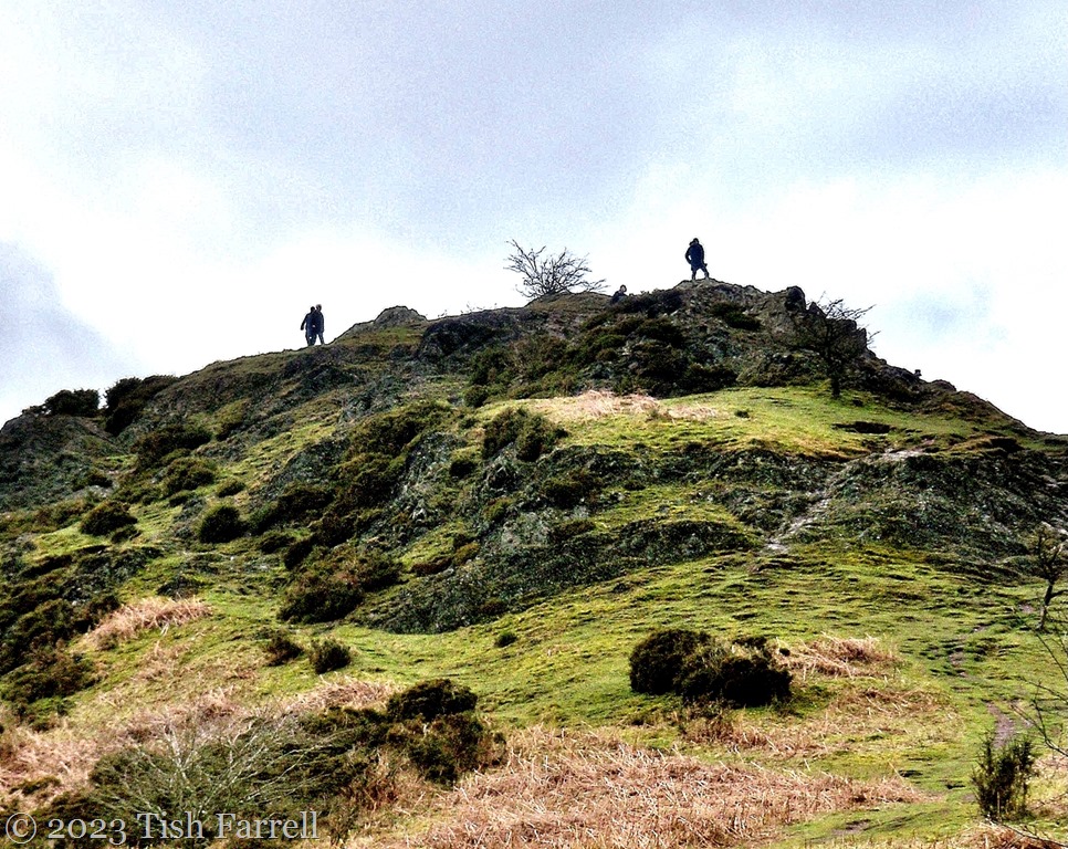
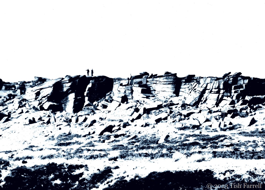
These next views are of Stanage Edge. This gritstone escarpment lies across the valley from Callow Farm. This is where millstones were once cut and hauled to nearby Sheffield. I know there were farmer Foxes who went in for this arduous trade, but none, as far as I know, in my immediate family tree.

*

*
This next photo is of Scraper Low Farm also known as Scraper Low Hall. It stands above Hathersage, and for a short time was the home of my 2x great aunt, Sophia Lister nee Fox who married Mr. Lister the silversmith while still attached to hill farmer, John Brocklehurst who himself had bigamously married a young next-door widow. You can read the story at the link.
When we first came upon Scraper Low, I was astonished that the Listers would choose to move to such a lonely place after living in a Sheffield city centre flat, to say nothing of taking on a farm in their sixties. But then when I walked up the long approach lane, I realised that whenever Sophia walked this way from her extraordinary castellated porch house, she would have been able to scan across the Derwent Valley and spot Callow Farm where she was born in 1814, the place where her brothers George and William still lived.
But then was she engaging in family feeling, or cocking a snook at the relatives now that she could pretend she’d finally made something of herself?

*
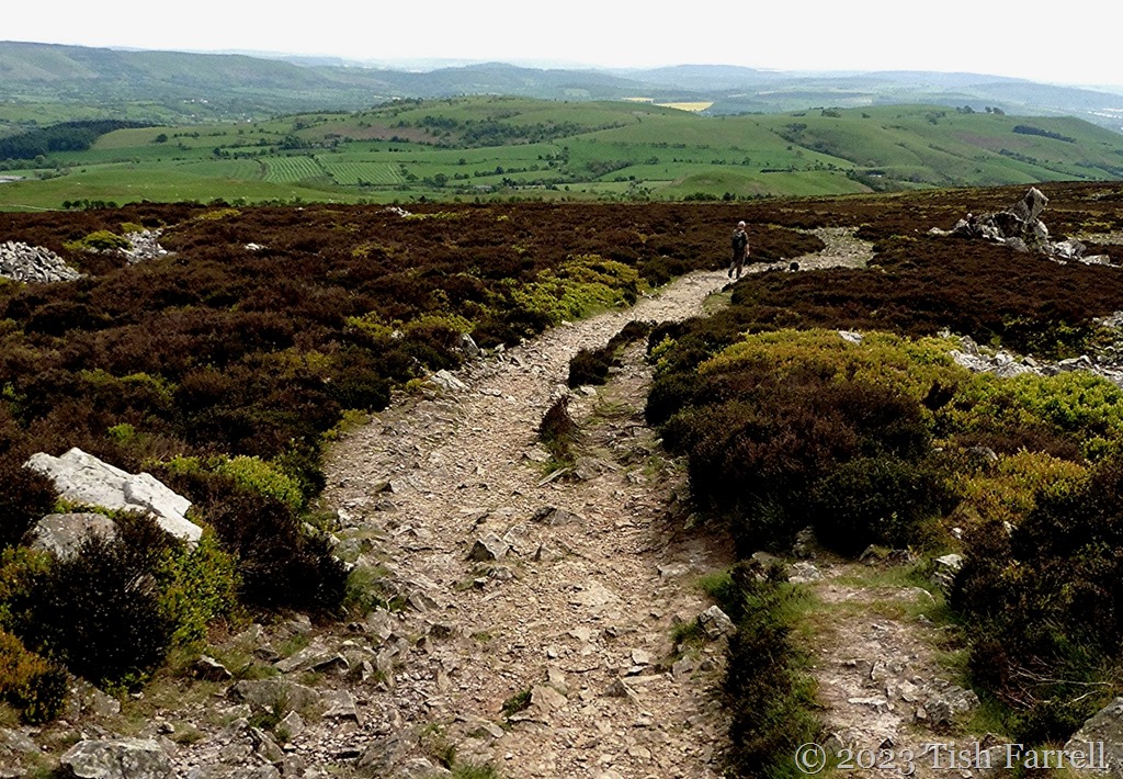
This is the view from Scraper Low: Hathersage Moor – Higger Tor, Carl Wark hillfort and Burbage Rocks. It’s a landscape that already looks bleak in September. Imagine it in winter:


*
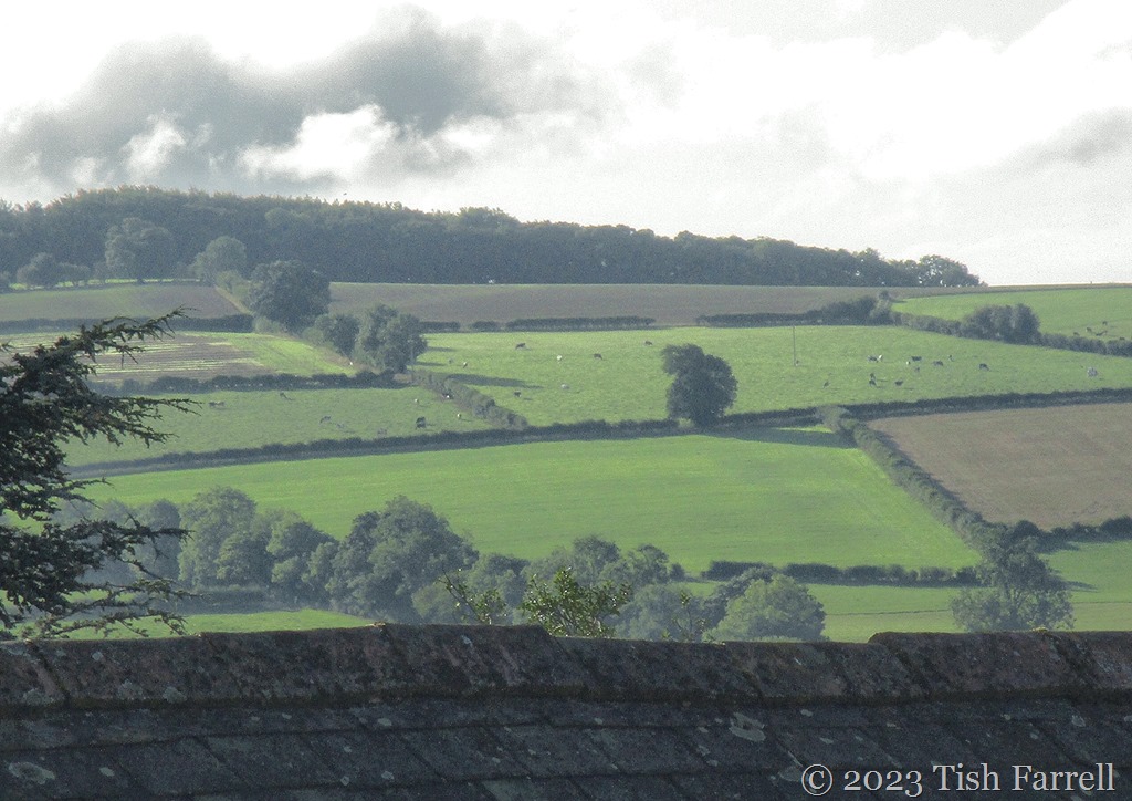
And finally back to Callow Farm, a more benign scene of the fields below the house, once worked by four generations of Foxes: George, Robert, George and William.

*
And an early morning flight trail across the valley. Not the sort of phenomenon the ancestors would have spotted, nor dreamed of seeing.

Lens-Artists: Empty Spaces Over this past week Patti has asked to show her empty spaces, however we chose to interpret the theme.