

The Great Rift Valley surely is a world wonder, the four-thousand-mile system of volcanic fractures and fissures that stretches from the plains of northern Syria, across Arabia and the Red Sea, then cuts down through Ethiopia, on through Uganda and Kenya (with a westerly Albertine branch around Lake Victoria), pressing on through Tanzania, Malawi, Zambia and finally finishing in Mozambique. I read somewhere it is the only geological phenomenon that can clearly be seen from space.
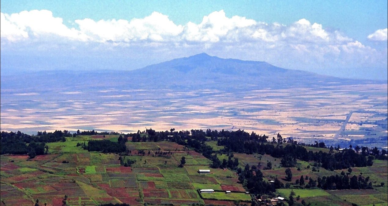
The aging photos in this post, then, show scarcely a glimpse of Kenya’s Great Rift. Most were taken at different seasons from the 9,000 foot viewpoint on the highway north of Nairobi. The road itself, the country’s major route to Kisumu on Lake Victoria and Uganda beyond, climbs from the city, up and along one of the East Rift’s faulted terraces before descending to the valley floor at Nakuru.
The volcano you can see is Longonot, quiescent now and containing a lost wildlife world within its massive crater. You can walk around the rim, and it’s one of my regrets that we never did. But then in the ‘90s when we lived in Nairobi, security everywhere always seemed an issue.
The foreground farms lying in shadow are on a lower Rift terrace. This is Escarpment village where Graham did a lot of his fieldwork on Napier grass smut for his PhD thesis. I went along to hold the clipboard and one end of the tape measure. For that story see Past Lives – Beneath A Tropic Sun.
Next comes a rainy season view. This was probably taken during the very wet 1997/98 El Nino event:

But then…

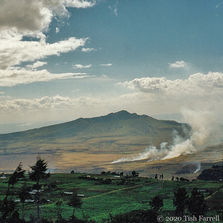
…the dry season, both above (July) and below (August) on the valley floor:

And finally…

…here’s a late afternoon view, further south from the Ngong Hills near Nairobi.
Looking back on these photos, the biggest wonder is that I was ever there at all. Even at the time, much of what we saw was too astonishing to grasp.
Lens-Artists: Looking back at #1 Wonder This week Sofia reminds us to be amazed by life’s wonders. Please visit her beautiful photo galleries.

")
cr")
